A Hidden Summit in the Rangeley Lakes Region
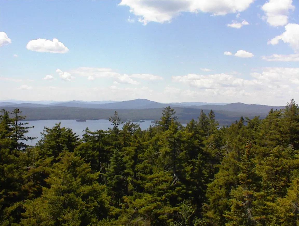
Aziscohos Mountain stands 3,215 feet above the western Maine backcountry, at the southern end of Aziscohos Lake in Lincoln Plantation. The mountain is one of the higher peaks in Oxford County, and its open summit delivers panoramic views that stretch across the Rangeley Lakes, deep into the White Mountains of New Hampshire, and on exceptionally clear days, all the way to Mount Washington. It is the kind of hike that locals in the Rangeley area know well and visitors rarely find.
A fire lookout tower was first built on the summit in 1910 and rebuilt several times, most recently in 1929. The last fire watchman, Basil Melvin, served until 1968. The tower collapsed by the mid-1980s, and what remained was removed in 2004. The concrete base still sits on the summit, a reminder of the decades when this peak was part of Maine’s fire detection network. The views that made it a good lookout site are the same views you get today.
The Trail
The Aziscohos North Trail is the only route to the summit and covers about 1.6 miles one way. The trailhead is on Route 16, exactly one mile east of Aziscohos Dam. Look for red blazes marking the start of the trail on the north side of the road. Parking is roadside, with room for a few cars at the pulloff.
The lower section climbs gently through a hardwood forest of birch, beech, and maple. The footing is good and the grade is easy. As you gain elevation, the trail steepens and the forest transitions to spruce and fir. The middle section has some moderately rocky stretches but nothing technical.
The final 0.1 miles requires minor scrambling over large boulders to reach the summit. The trail is rougher here and less defined, but the red blazes are generally reliable. The scramble is short and the reward is immediate: the trees fall away and the full panorama opens up.
The Summit Views
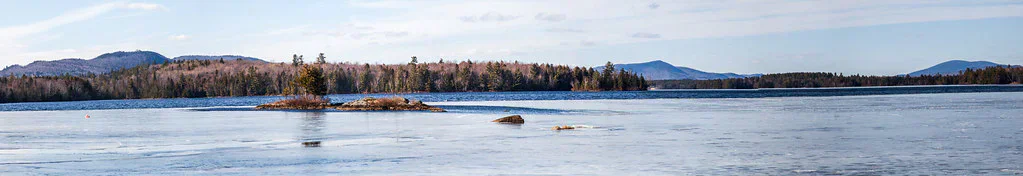
The summit is open enough to give nearly 360-degree views. Aziscohos Lake stretches north, its long blue body surrounded by unbroken forest. To the south and east, the Rangeley Lakes dot the landscape. Mooselookmeguntic, Rangeley Lake, and Upper Richardson Lake are all visible on clear days. To the west, the peaks of the White Mountains rise on the New Hampshire border, and Mount Washington is identifiable by its summit buildings and antenna.
The concrete base of the old fire tower is still on the summit and makes a convenient spot to sit and take in the view. There is no other shelter or structure on top.
When to Go
Spring
Snow lingers at elevation through May. Mud season and black flies make this a tough time to visit. Wait until June.
Summer
The best weather and the longest days. Blueberries ripen on the upper slopes in late July and August. Bring bug spray.
Fall
The hardwood forest blazes with color in late September and early October. Clear, cool air gives the sharpest views, and the hillsides turn deep red and gold.
Winter
The access road on Route 16 is plowed, but the trailhead pulloff may not be cleared. Snowshoes required. The upper scramble is icy and requires caution.
This mountain does not see heavy traffic. Midweek in summer, you may have the summit entirely to yourself. That solitude is part of the appeal. If you want a busy social hike, go elsewhere. If you want quiet and big views, this is the one.
Practical Notes
There are no facilities at the trailhead. No outhouse, no trash can, no sign-in register. This is a backcountry experience from the moment you step out of the car. Carry everything you need and pack out all waste.
Cell service is nonexistent at the trailhead and on the mountain. Let someone know your plans before you head out.
The nearest services are in Rangeley, about 20 miles east on Route 16. Fuel, food, and lodging are all available in town. The drive from the trailhead to Rangeley takes about 30 minutes on winding but paved roads.
Packing List
Aziscohos Mountain Day Hike
- 2 liters of water per person
- Snacks for the summit
- Trail map or GPS (blazes can be faded)
- Bug spray May through August
- Sturdy boots (rocky upper section and scramble)
- Wind layer (the summit is exposed)
- Camera
Getting There
From Rangeley, drive west on Route 16 for about 20 miles. The trailhead is on the north side of the road, exactly one mile east of Aziscohos Dam. Look for a small roadside pulloff and red blazes on the trees. The trailhead is not prominently signed.
From Portland, the drive takes roughly 3 hours via Route 4 North through Farmington and Phillips to Rangeley, then west on Route 16. From Bangor, take Route 2 West through Skowhegan and Farmington, then Route 4 to Rangeley. Also about 3 hours.
FAQ
Is the fire tower still standing on Aziscohos Mountain?
No. The fire tower collapsed in the mid-1980s, and the debris was removed in 2004. The concrete base remains on the summit. The views are still excellent without it.
How long does the hike take?
Most hikers take 2 to 3 hours round trip. The trail is about 1.6 miles each way, with a steeper and rockier upper section that slows the pace.
Can I see Mount Washington from the summit?
Yes, on clear days. Mount Washington is visible to the west, identifiable by its summit buildings. Fall and winter give the clearest sightlines.
Are dogs allowed?
Yes. There are no restrictions on dogs. The upper boulder scramble may be difficult for small dogs, but most trail-experienced dogs handle it fine.
Is the trail well-marked?
The trail is marked with red blazes, but they can be faded in places. The route is generally followable, but carrying a trail map or GPS is a good idea, especially for the descent.
For more hiking in the Rangeley area, explore the trails around Aziscohos Lake or drive south to the Rangeley Lakes region.