The Highest Peak in the Jackman Country
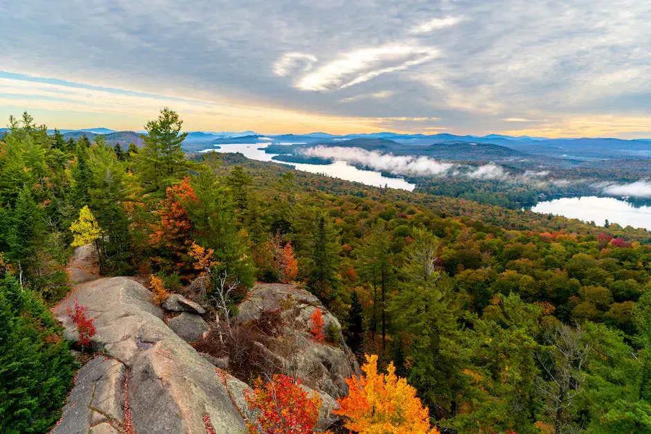
Coburn Mountain stands 3,717 feet above the western Maine woods between Jackman and The Forks, the highest summit in that whole stretch of country. It is best known to snowmobilers, because the trail up it is the highest groomed sled run in the state, but it is a real hike in the warm months too. The summit holds an old fire tower, originally a steel tower from 1914, with the cab long gone and an observation deck built in its place. From the deck the view runs the full compass: Katahdin far to the northeast, the Bigelows and Sugarloaf to the south, Canada to the west, and a sea of unbroken forest and ponds in every direction.
The climb is short and stiff. You gain a lot of elevation in not many miles, so the trail is steep most of the way. The lower part follows a groomed snowmobile trail and a service road toward a radio repeater, then the final pitch to the true summit gets narrow and rough. This is a hard hike for its length, but the payoff at the tower is one of the best views in western Maine for the effort.
The Climb
The route starts off Route 201 between Jackman and The Forks. It follows the maintained snowmobile trail and access road uphill, climbing steadily through spruce and fir. The first stretch toward the repeater tower is wide and easy to follow. The last section to the actual summit and the fire tower is steeper, narrower, and rougher underfoot.
Figure on around four miles round trip with a climb of roughly 1,300 feet, which is a lot packed into a short distance. Most hikers reach the top in two to two and a half hours of climbing. The summit is open, and the fire tower deck adds the last bit of height for a clean 360-degree look.
Climb the tower for the real view. From the ground the summit spruce block part of the horizon, but the observation deck on the old fire tower clears the trees and opens up the full 360. Go up one person at a time, watch the older steel steps, and skip it entirely in wind or wet weather when the metal gets slick.
What You See
This is high, open country with nothing built between you and the horizon. On a clear day Katahdin is unmistakable to the northeast. The Bigelow Range and Sugarloaf rise to the south, the peaks around Jackman and the Canadian border country fill the west, and the long blue shapes of Attean Pond, Wood Pond, and the Moose River corridor lie below. There are few roads and fewer buildings in sight. It is one of the emptiest big views you can earn in Maine without a multi-day trip into the backcountry.
The mountain catches weather. Clouds that look harmless from Route 201 can be sitting right on the summit. The view is worth timing for a genuinely clear day.
Coburn climbs fast and the upper trail is steep and rough. The summit is exposed to wind and the fire tower steps can ice up or grow slick in rain. There is no cell service, and the nearest town of any size is Jackman. Carry plenty of water, watch the weather, and turn around if a storm builds. The road in and the trailhead are remote.
When to Go
Spring
Snow lingers high on Coburn into late spring and the trail stays muddy and icy in spots. Wait for it to firm up, and expect black flies once it does.
Summer
The trail is open and the climbing is good, though bugs are thick in the woods. Pick a clear, dry day for the view and start early.
Fall
Crisp air, long clear views, and foliage across the western mountains below. September into early October is the prime hiking window up here.
Winter
Coburn becomes the highest groomed snowmobile summit in Maine and is a major sled destination. Foot travel means full winter gear, traction, and real experience.
Getting There
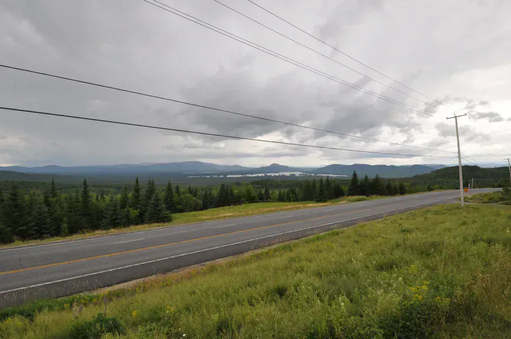
Coburn Mountain is off Route 201 in the stretch between Jackman to the north and The Forks to the south. The trailhead and roadside parking are along that corridor. From Bangor the drive is a little over two hours; from Portland it is roughly three hours and fifteen minutes, most of it up Route 201 through the Kennebec valley and the Old Canada Road scenic byway.
There is no fee. Parking is roadside at the trail access. Fill your tank before you leave Jackman or The Forks, because services are thin along this part of 201.
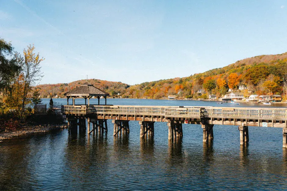
Make a day of the Old Canada Road. The drive up Route 201 to Coburn is one of Maine’s designated scenic byways, with the Kennebec River, Wyman Lake, and the Forks gorge along the way. Climb Coburn in the morning for the view, then stop at one of the whitewater outfitters near The Forks on the way back, or push north to Jackman and the Moose River country. The mountain is the high point, literally, of a long day of western Maine driving.
Coburn Mountain Day Hike Checklist
- Sturdy boots with good tread for the steep, rough upper trail
- Trekking poles (the descent is hard on knees)
- Two liters of water (no water source on the climb)
- Wind and rain layers for the exposed summit
- Bug spray for the wooded lower trail
- Downloaded offline map (no cell service)
- Full tank of gas before leaving Jackman or The Forks
- Camera for the view from the fire tower deck
FAQ
How tall is Coburn Mountain?
Coburn Mountain is 3,717 feet, the highest peak in the Jackman region of western Maine. It is also the highest groomed snowmobile summit in the state in winter.
Is the Coburn Mountain hike hard?
Yes, for its length. The trail gains roughly 1,300 feet in about two miles to the top, so it is steep most of the way. Expect two to two and a half hours of climbing and a knee-testing descent.
Can you climb the fire tower on Coburn?
Yes. The old steel fire tower has an observation deck where the cab used to be, and climbing it clears the summit spruce for a full 360-degree view. Go one at a time and skip it in wind or wet weather.
Where do you park to hike Coburn Mountain?
Parking is roadside off Route 201 in the stretch between Jackman and The Forks, at the snowmobile trail and access road that climbs the mountain. There is no fee and no developed lot.
What can you see from the top of Coburn Mountain?
On a clear day the view runs from Katahdin to the northeast, the Bigelows and Sugarloaf to the south, the Canadian border country to the west, and the Attean Pond and Moose River corridor below. It is one of western Maine's biggest unbroken views.