A Loop You Can Paddle Without a Shuttle
The Moose River Bow Trip is the most famous canoe loop in Maine, and the thing that sets it apart is right there in the name: it is a bow, a giant curve of water that brings you back to where you started. There is no shuttle to arrange, no second car to leave at a takeout. You launch at Attean Landing near Jackman, paddle roughly 34 miles through a chain of ponds, streams, and the Moose River itself, carry over a couple of portages, and three days later you glide back into the same cove you left. For a wilderness trip this remote, that simplicity is rare.
This is a different river than the gentle dawn moose paddle most people do on the lower Moose River near Jackman village. The Bow Trip is a committing multi-day expedition through the unorganized townships west of Jackman, with real portages, some quickwater, and long open-water crossings on big windy ponds. It rewards paddlers who can read water, handle a loaded canoe, and camp self-sufficiently for a few nights. If you are new to tripping, go with someone who has done it or hire a Registered Maine Guide out of Jackman.
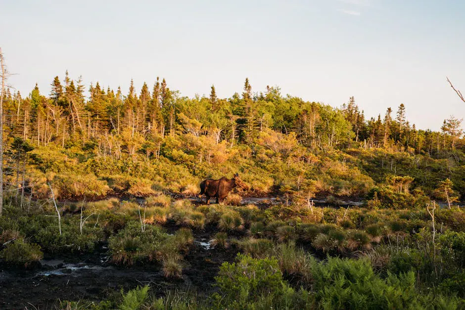
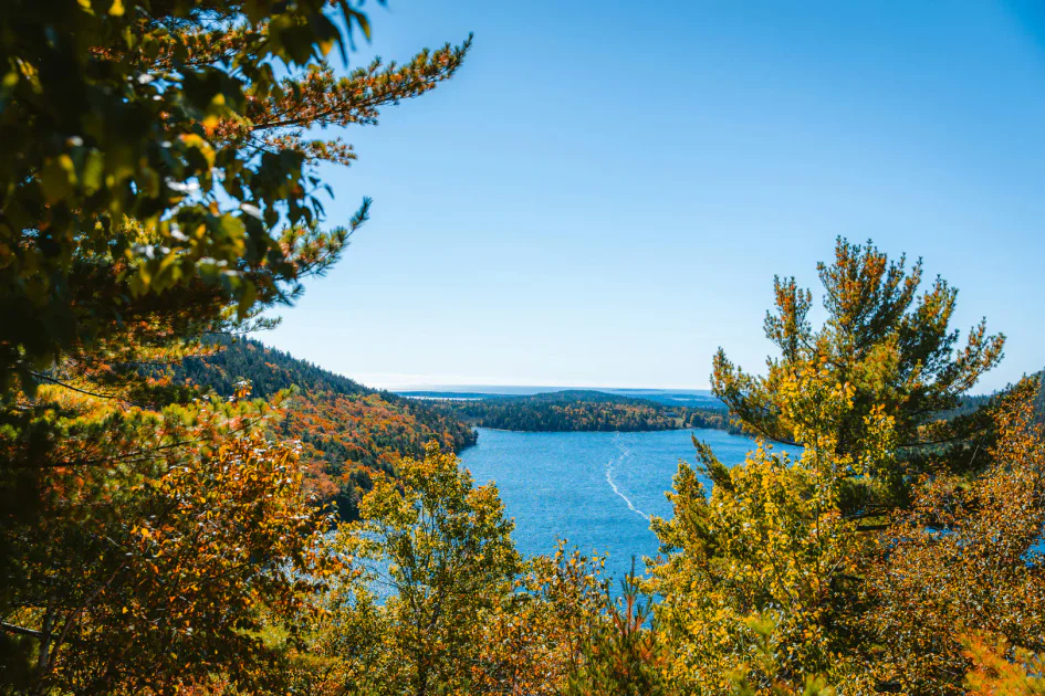
The country it crosses is classic North Woods: spruce and fir down to the waterline, loons calling across the ponds, moose feeding in the shallows at dawn, and Sally Mountain rising over Attean Pond. Much of the shoreline is conserved or working forestland, so development is minimal and the sense of remoteness is genuine.
The Route
Most paddlers run the loop counterclockwise over three days, starting and ending at Attean Pond. The full circuit is about 34 miles.
Attean Pond and the portage to Holeb Pond. From Attean Landing you cross Attean Pond, an island-studded lake that can build a serious chop when the wind comes up. At the pond’s western end you reach the carry to Holeb Pond, a portage of roughly 1.25 miles with bog bridging in the low spots. It is the single biggest carry of the trip, so pack to minimize the number of trips across it.
Holeb Pond into the Moose River. From Holeb Pond you drop into Holeb Stream and then the Moose River, which carries you in a long arc back toward Attean. This is the heart of the trip, a mix of flatwater, quickwater, and short rapids that are mostly Class I and II at moderate water.
The rapids and falls. Named rapids along the river include Camel Rips, Mosquito Rips, Spencer Rips, and Attean Rips. Spencer Rips often requires a carry at low water. The major obstacle is Holeb Falls, where a mandatory portage of about a third of a mile bypasses the drop. Attean Falls near the end also has a short carry option depending on flow.
There is no cell service on most of the route, no road access for long stretches, and the nearest help is back in Jackman. Rapids that are easy at summer levels become pushy and cold in high spring water. Scout anything you cannot see the bottom of, wear your PFD on moving water, and carry a map, compass, and the means to signal for help. Plan to be fully self-sufficient.
Access Points and Put-ins
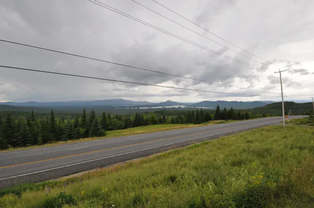
The traditional put-in and takeout is Attean Landing, reached by Attean Road off Route 201 just south of Jackman. The landing sits on private land, and the access road is gated and closed periodically for repairs or flooding, so confirm it is open before you drive in.
Two alternatives let you adjust the trip. The Jackman public boat launch off Mill Street (about 45.6198, -70.2576) gives reliable town access. Holeb Landing, at the end of Holeb Road off Route 201 (about 45.5941, -70.4270), lets some parties start on the Holeb side and skip the long Attean-to-Holeb carry. Outfitters in Jackman also run shuttles and rentals.
Packable gear protection
Getting There
Jackman is on Route 201 in northern Somerset County, about 17 miles south of the Quebec border. From Portland, take I-95 to Augusta, then Route 201 north through Skowhegan, Bingham, and The Forks to Jackman, roughly three and a half hours. From Bangor, take Route 15 west to Greenville, then Route 6/15 north to Jackman, about two and a half hours.
Attean Landing is reached by turning west onto Attean Road off Route 201 just south of Jackman village and following it to the water. Gas up and buy any last supplies in Jackman, because there are no services once you launch.
Pack light and dry-bag everything. The 1.25-mile carry between Attean and Holeb is the bottleneck of the whole trip, and every extra cooler or duffel means another walk across the bog bridging. A streamlined kit that crosses in one or two trips per person saves hours and a lot of sweat.
When to Visit
Spring
High, cold water makes the rapids pushier and the crossings colder. Black flies are intense in late May and June. For experienced trippers only.
Summer
Stable flows, warm days, and the most forgiving rapids. Prime season for first-timers. Bug pressure eases by mid-July.
Fall
Crisp weather, foliage, and active moose during the rut. Days are shorter, so plan campsites earlier. Cold nights.
Winter
Ponds and river are frozen. The route is not paddleable.
Summer is the classic window, with stable water and warm enough weather to make wind-bound days on the ponds bearable. Early fall is beautiful and quiet, with moose on the move, but you trade daylight for solitude.
Packing List
Moose River Bow Trip
- Canoe or kayak with extra paddle
- PFD for every paddler (worn on moving water)
- Dry bags for sleep gear, food, and clothes
- Tent, sleeping bag, and pad
- Stove, fuel, and three-plus days of food
- Map, compass, and a way to signal for help
- Bug spray and head net (May through July)
- Maine fishing license if you plan to fish
- Water filter or treatment
FAQ
How long is the Moose River Bow Trip?
The loop is about 34 miles and most paddlers complete it in three days. Because it is a true loop, you start and finish at the same place, usually Attean Landing, with no shuttle required.
How hard is it? Can beginners do it?
It is a moderate multi-day wilderness trip with a long portage, a mandatory carry around Holeb Falls, and several Class I-II rapids. Strong beginners can do it with an experienced partner or a guide, but it is not a casual day paddle.
Do I need to portage?
Yes. The main carries are the 1.25-mile portage between Attean and Holeb ponds and the roughly one-third-mile mandatory portage around Holeb Falls. Spencer Rips and Attean Falls may also require carrying at lower water.
Is there a shuttle?
No shuttle is needed because the route loops back to the start. Outfitters in Jackman do offer shuttles and rentals if you want to start from Holeb Landing and skip the longest carry.
Is there cell service on the trip?
No. Expect no cell service for most of the route. Carry a paper map and compass, and consider a satellite communicator for emergencies.