Eighty-Seven Miles on an Old Railroad Bed
The Down East Sunrise Trail runs 87 miles along the bed of the old Calais Branch railroad, from near Ellsworth east through Washington County toward the Canadian border at Pembroke. That makes it the longest rail trail in Maine by a wide margin. The state rebuilt the corridor as a wide, compact gravel path, and it is open to nearly everyone who travels under their own power or on a small machine: walkers, runners, bikers, horseback riders, ATV riders, cross-country skiers, and snowmobilers all share it. It is also part of the East Coast Greenway, the long-distance route that runs the length of the eastern seaboard.
This is not a single walk you do in an afternoon. It is a corridor you sample. People bike a stretch between two trailheads, walk out and back from a parking area to a marsh crossing, or ride the whole thing over a few days. The surface is firm gravel and the grade is gentle the whole way, because trains do not climb hills, so it is easy underfoot and forgiving on bikes. What you get is a long, level path through some of the quietest country in Maine: spruce forest, blueberry barrens, wide tidal marshes, river crossings, and not many people.
How People Use the Trail
Because the trail is so long, the trick is picking a section that fits your day. The western end starts at Washington Junction in Hancock, just east of Ellsworth, and the eastern end reaches Ayers Junction in Pembroke, near Calais. In between, well-marked trailheads with parking sit at places like Franklin, the Route 182 and Tunk Lake area, Cherryfield, Machias, East Machias, and Dennysville. You can string together any two for a one-way ride with a car shuttle, or just go out and back from one lot.
Biking is the most popular way to cover ground, since the firm gravel and flat grade let you put on real miles without much effort. Walkers and runners use the trailhead areas for shorter outings. In winter the whole corridor becomes a major snowmobile route and a long, flat ski trail. Whatever you are doing, the rule is simple: motorized users yield to everyone on foot, bike, or horse.
For a first taste, ride or walk the stretch through the blueberry barrens and marshes east of the Route 182 trailhead near Tunk Lake. It is some of the most open and scenic country on the whole trail, with big sky, wide wetlands, and good odds of seeing wildlife. Park at a marked trailhead lot, go out as far as you like, and turn around. You do not need to do all 87 miles to get the feel of the place.
What You See Along the Way
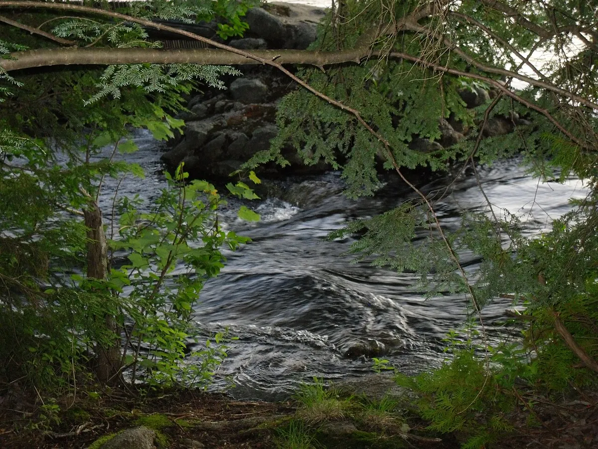
The Sunrise Trail crosses a cross-section of Downeast Maine. Long runs through spruce and fir woods open suddenly onto tidal marshes and river crossings where the rail bridges have been decked for trail use. The blueberry barrens around the central section turn deep red in fall. This is moose, beaver, eagle, and deer country, and the quiet of the trail means you actually see wildlife, especially early and late in the day. Old railroad culverts, mile markers, and the dead-straight sight lines of a former rail line are part of the character.
Because it threads between towns rather than through wilderness, you are never impossibly far from a road, but long stretches feel remote and you can ride for an hour without crossing one. Cell service comes and goes.
The Sunrise Trail is heavily used by ATVs in summer and snowmobiles in winter, and they move fast. Walkers, runners, cyclists, and horses share the same gravel. Stay to the right, be visible, keep dogs leashed and close, and be ready for machines coming the other way around blind bends. The rule is that motorized users yield to non-motorized, but do not count on it. Wear bright colors.
When to Go
Spring
The gravel drains and firms up earlier than soft trails, but expect mud in low spots and heavy black flies by late May. Quiet before summer ATV traffic builds.
Summer
Long days and firm riding. Busiest with ATV traffic, especially on weekends. Bring bug protection for the wooded and marshy stretches, and start early for cooler air and wildlife.
Fall
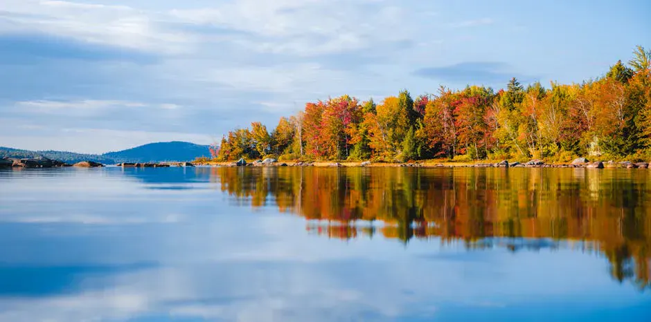
Crisp air, the blueberry barrens turning red, foliage in the woods, and the bugs gone. The best season for a long ride or walk on the trail.
Winter
The corridor becomes a major groomed snowmobile route and a long, flat cross-country ski trail. Dress for Downeast cold and share the trail with sleds.
Getting There
The western trailhead is at Washington Junction in Hancock, just east of Ellsworth. From Ellsworth, take Main Street east from the junction of US 1A, US 1, and Route 3, go about 2.5 miles, and turn onto Railroad Street to reach the parking. Other major access points run east through Franklin, the Route 182 corridor near Tunk Lake, Cherryfield, Machias, and on toward Pembroke. Ellsworth is about 45 minutes from Bangor and roughly three hours from Portland.
There is no fee to use the trail and parking at the trailhead lots is free. Bring everything you need, because services between trailheads are limited.
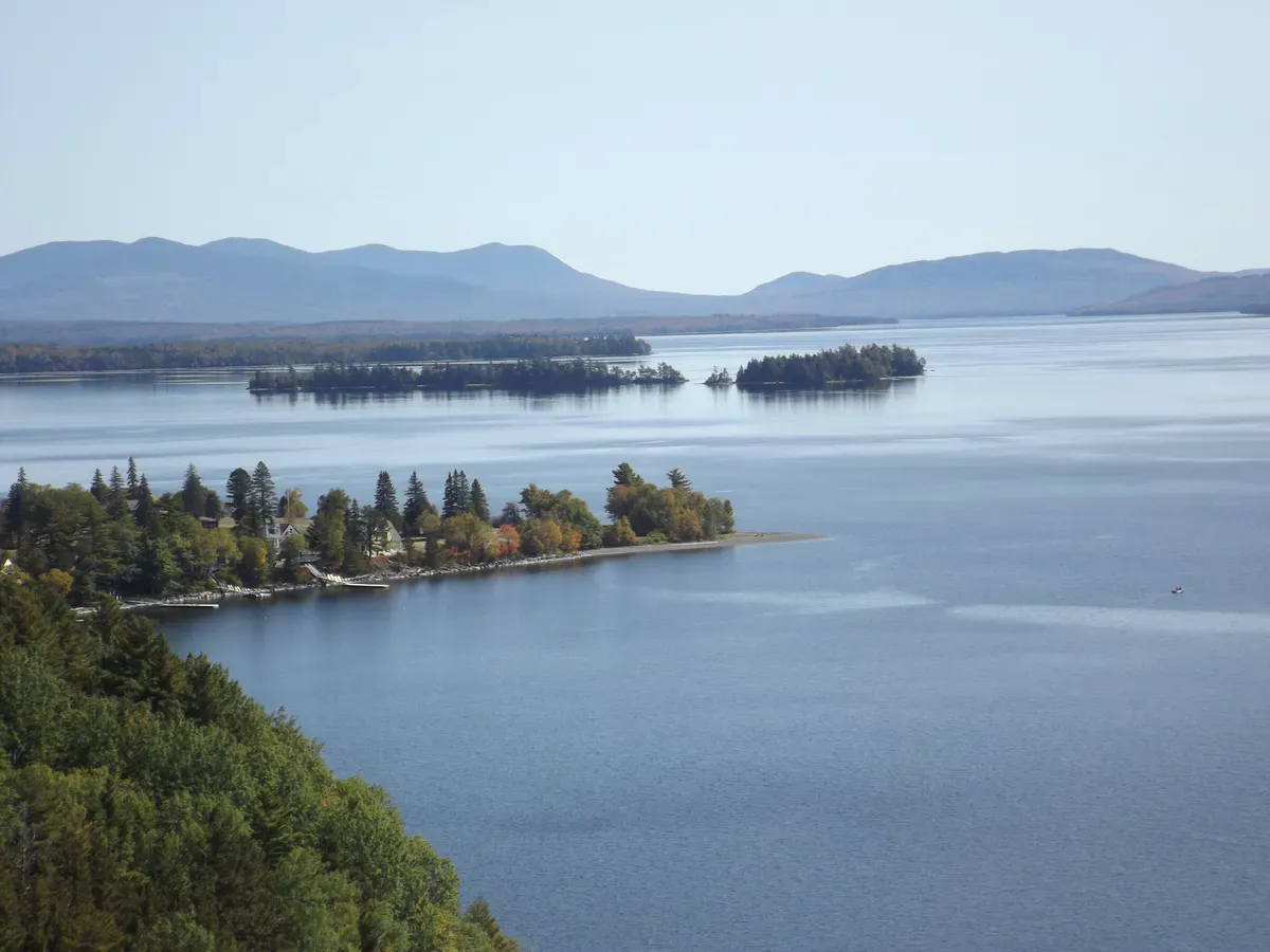
Use the trail to reach the swimming and hiking around Donnell Pond. The Route 182 and Tunk Lake section of the Sunrise Trail runs right through that country, and you can pair a flat ride or walk on the rail trail with a swim at Tunk Lake or a climb up Schoodic Mountain the same day. Locals treat that stretch as the scenic heart of the trail, and the cluster of ponds and low mountains nearby gives you a full Downeast day with one car.
Sunrise Trail Day Outing Checklist
- Bike in good order with a patch kit and pump (long stretches between help)
- Bright clothing so ATVs and sleds see you
- Two liters of water (few services between trailheads)
- Bug spray for the wooded and marshy sections
- Downloaded trail map and the trailhead lot you started from
- Snacks for a longer ride
- Layers and a wind shell for the open marsh crossings
- Leash for dogs (the trail is shared with fast machines)
FAQ
How long is the Down East Sunrise Trail?
It runs about 87 miles from Washington Junction in Hancock, just east of Ellsworth, east to Ayers Junction in Pembroke near Calais. It follows the bed of the old Calais Branch railroad and is the longest rail trail in Maine.
Who can use the Down East Sunrise Trail?
Almost everyone. It is open to walkers, runners, cyclists, horseback riders, ATV riders in summer, and snowmobilers and skiers in winter. Motorized users are required to yield to non-motorized trail users.
Is the Sunrise Trail good for biking?
Yes. The surface is firm, compact gravel and the grade is gentle the entire way, since it follows an old rail line. That makes it easy riding for long distances. Watch for ATV traffic and use bright clothing.
Where can I park to access the trail?
Marked trailhead lots with free parking sit along the corridor at Washington Junction in Hancock, Franklin, the Route 182 and Tunk Lake area, Cherryfield, Machias, East Machias, Dennysville, and other points. Pick two for a one-way ride or use one for an out-and-back.
Is there a fee to use the Down East Sunrise Trail?
No. The trail and its trailhead parking lots are free. Bring your own water and supplies, since services between access points are limited.