A Northern Outpost with a Katahdin View
Mount Chase sits in the small town of the same name in northern Penobscot County, about 15 miles north of Patten. At 2,434 feet, it is a modest summit by most standards, but the view from the top is anything but modest. Katahdin dominates the western skyline, the Shin Ponds glitter below, and the northern Maine forest rolls away in every direction without a break. The 3.0-mile round trip is short but steep, gaining nearly 1,500 feet with almost no flat sections.
The Trail
The trailhead is at a small clearing off Mountain Road, an unpaved road that can be tricky to find. The trail heads uphill immediately and never really stops climbing. The lower section passes through mixed hardwoods, then transitions to spruce and fir as you gain elevation. The footing is rocky throughout, with shale and small boulders dominating the trail surface.
There are no views until you reach the summit. The forest is dense and the trail is essentially a tunnel through the trees. Then the top opens up and the panorama hits you all at once.
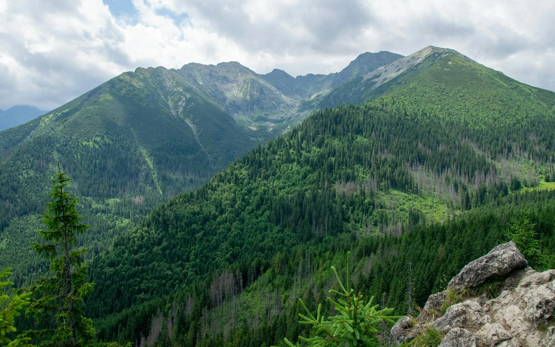
The summit is rocky and partially open, with good views to the south and west. Katahdin is the centerpiece, visible across the rolling forest about 30 miles to the southwest. Upper and Lower Shin Ponds are visible below, and the Maine woods stretch to the horizon.
Mount Chase is one of the best viewpoints for Katahdin from a distance. The perspective is unique because you see the entire massif from the north, including Hamlin Peak, Baxter Peak, and the Knife Edge in a single sweep.
When to Go
Spring
The access road can be muddy. The trail is steep and slick when wet. Bugs arrive late May.
Summer
Best trail conditions. Bring bug spray and plenty of water for the steep climb.
Fall
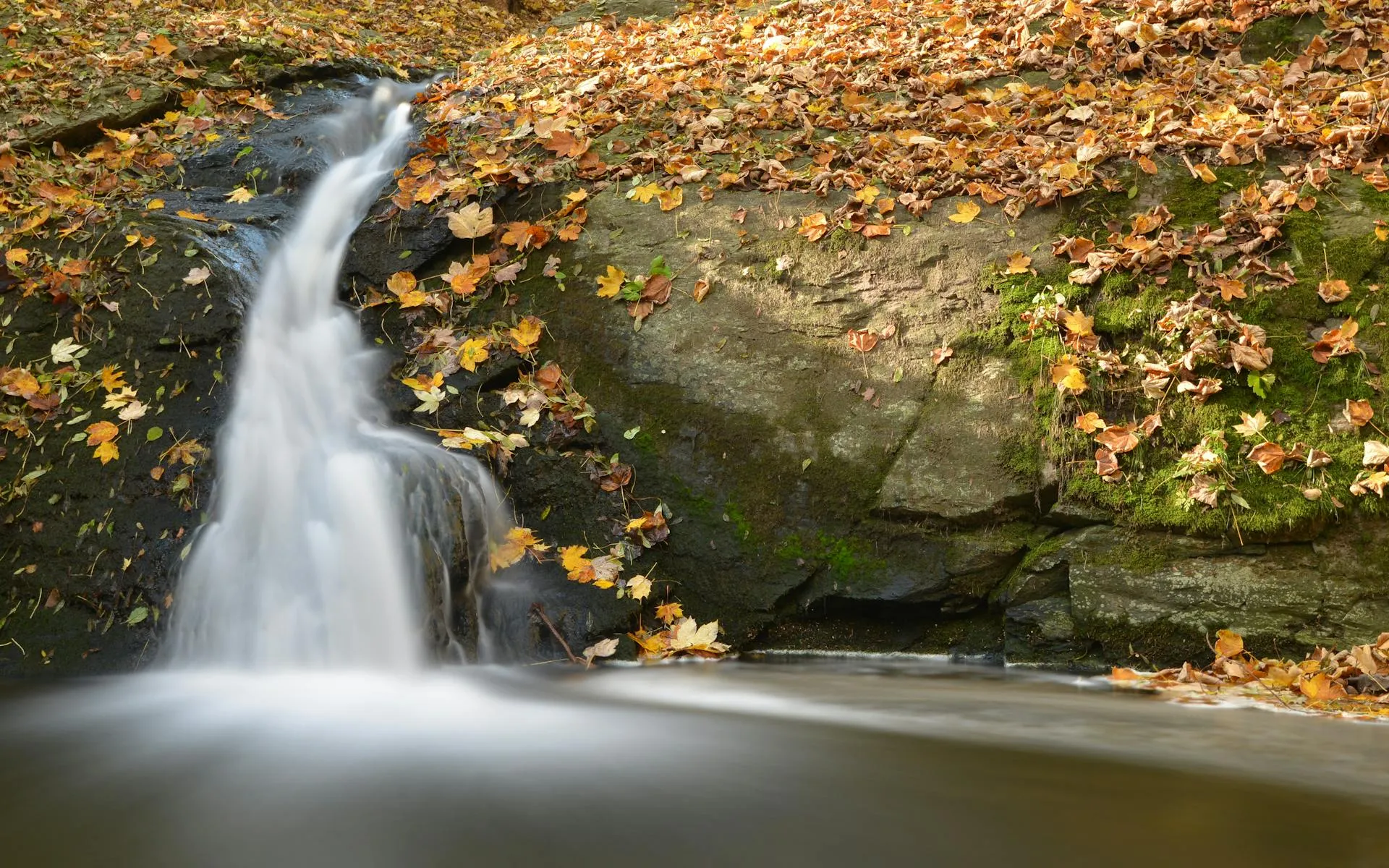
The summit looks out over the northern forest in full color. Clear air brings sharp Katahdin views.
Winter
Short but steep. Snowshoes or microspikes needed. The access road may not be plowed.
Practical Notes
The turn onto Mountain Road off Route 11 is easy to miss. It is unpaved and unmarked. Look for it about 2 miles north of the Mount Chase town line. A DeLorme atlas helps.
Dogs are allowed. No facilities at the trailhead. Cell service is nonexistent on the mountain and unreliable in the town of Mount Chase.
Packing List
Mount Chase Day Hike
- 1.5 liters of water per person
- Sturdy hiking boots (rocky trail)
- Bug spray
- Snacks
- Map or GPS (trailhead can be hard to find)
- Camera for Katahdin views
Getting There
The trailhead is off Mountain Road in the town of Mount Chase. From Patten, drive north on Route 11 about 12 miles and turn west onto Mountain Road. The parking area is a small clearing about 2 miles down the road. From Bangor, the total drive is about 1 hour 50 minutes.
FAQ
How long does the Mount Chase hike take?
Most hikers complete the 3-mile round trip in 2 to 3 hours. The steep grade slows the ascent.
Is it really that steep?
Yes. The trail gains nearly 1,500 feet in 1.5 miles with very few flat sections. It is a steady, continuous climb.
Can I see Katahdin from the summit?
Yes, clearly. Mount Chase offers one of the best distant views of the entire Katahdin massif.
Is the road to the trailhead passable?
In summer and fall, most vehicles can make it. In spring mud season, a higher-clearance vehicle is recommended.