A Ledge Summit Above the Saco
Mount Tom Preserve protects a long, low ridge in Fryeburg that rises out of the Saco River floodplain to a rocky 1,073-foot summit. The Nature Conservancy in Maine owns the land, which spans the river and includes thousands of feet of frontage, and the West Ridge Trail runs the length of the ridge from the preserve parking area up to the ledges at the top. It is the kind of hike that rewards you out of proportion to its modest height, since the trail passes through a real variety of forest types and old farm relics before topping out.
This is working conservation land with a long human history. As you climb, the trail passes an old homestead site, historic stone walls, and even a large sawdust pile left from past logging, all woven into a forest that shifts from oak to northern hardwoods to a red pine stand. It is a quiet, well-marked walk that suits hikers who like a little history with their summit.
The Trail
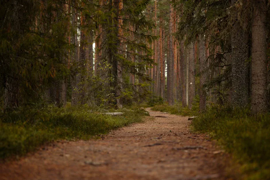
The West Ridge Trail is the main route, marked with white blazes and running about a mile and a half one way to the summit, an out-and-back of roughly 3 miles. A longer loop of about 3.7 miles is possible using the trail network if you want to extend the day. The grade is gentle for the first mile, then steepens as the trail works up toward the ledges, crossing small brooks and stepping over rock along the way.
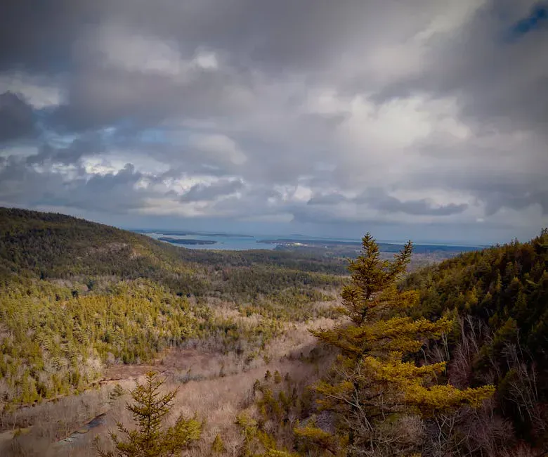
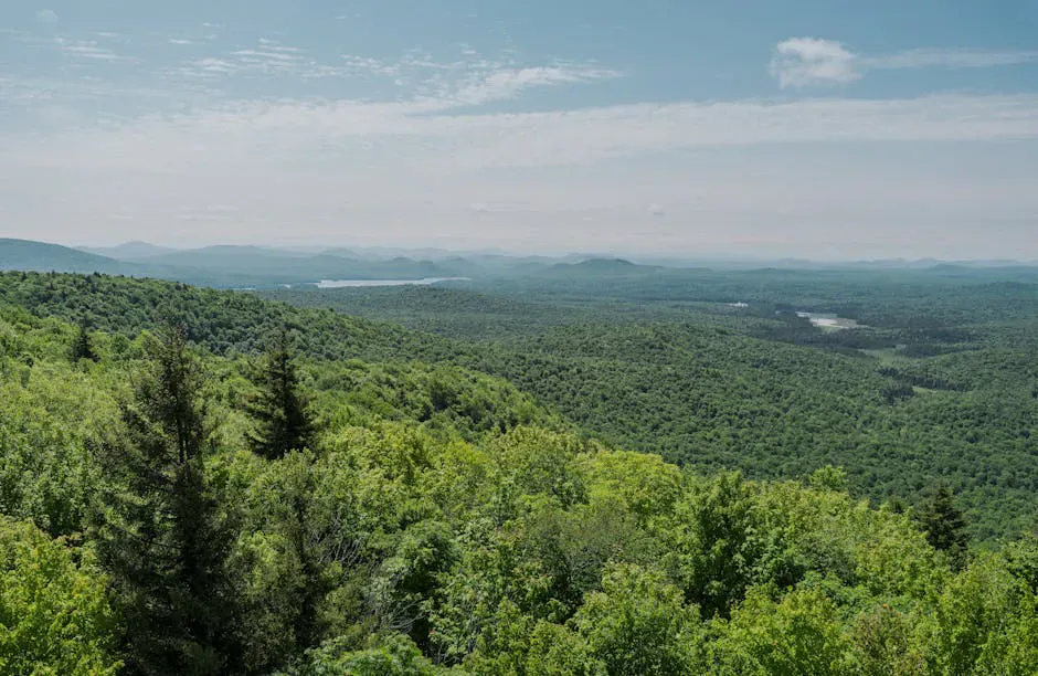
The forest changes as you gain height, moving from mixed oak and northern hardwood through a stand of red pine into oak-hickory near the top. The summit is a rocky ledge that gives the open view, a good payoff for a hike that never feels especially hard. Footing is reasonable in dry weather, with a few rooty and rocky stretches near the steeper upper section.
Skin-safe picaridin, no smell
Getting There
From Route 302, turn north onto Menotomy Road. Coming from Fryeburg the turn is on the left; coming from Bridgton it is on the right. In about one mile, look for the Fire Lane 31B sign and the preserve parking area on the right. There is a northern trailhead farther up Menotomy Road as well, roughly two miles beyond the main lot, which gives access to the other end of the ridge for loop hikers.
The preserve is open sunrise to sunset, and there is no fee. Cell service in the Saco valley is spotty, so download a map before you go.
Dogs are not allowed at Mount Tom Preserve. This is a strict no-pets property, so leave the dog at home and plan a different trail if you are hiking with one. Save Mount Tom for a people-only day.
When to Visit
Spring
The lower floodplain trail can be wet and muddy through mud season, and black flies arrive in mid-May. Footing firms up by late spring.
Summer
Shaded and pleasant under the changing forest canopy. Bring bug spray for the wetter lower sections.
Fall
Dry footing, fewer bugs, and foliage color in the oak and hardwood forest. The clearest summit views of the year.
Winter
Hikeable with traction on packed snow. The summit ledge is exposed, and the parking area may not be plowed.
Fall is the best time to climb Mount Tom, with crisp air, firm footing, and color through the varied forest. Summer is fine with an early start and bug protection.
Packing List
Mount Tom Day Hike
- Boots or trail shoes with grip for the rocky upper trail
- 1 to 2 liters of water
- Bug spray from mid-May into summer
- A snack for the summit ledge
- A light layer for the breezy top
- Offline map (cell service is spotty)
FAQ
How long is the Mount Tom hike in Fryeburg?
About 3 miles round trip on the West Ridge Trail as an out-and-back to the summit, or roughly 3.7 miles if you make a loop using the trail network. Plan on 1.5 to 2.5 hours.
Are dogs allowed at Mount Tom Preserve?
No. Dogs are not permitted at Mount Tom Preserve. It is a no-pets property managed by The Nature Conservancy.
Is there a fee?
No. The preserve is free and open sunrise to sunset. It is owned by The Nature Conservancy in Maine.
Where do you park?
At the preserve parking lot on Menotomy Road, about one mile north of Route 302, near the Fire Lane 31B sign. A second trailhead sits about two miles farther up the road.
What is at the summit?
A rocky ledge at 1,073 feet with an open view. The climb passes old stone walls, a homestead site, and several distinct forest types on the way up.
For more Fryeburg-area hikes, try the quick climb up Jockey Cap or the longer ledges of Mount Cutler.