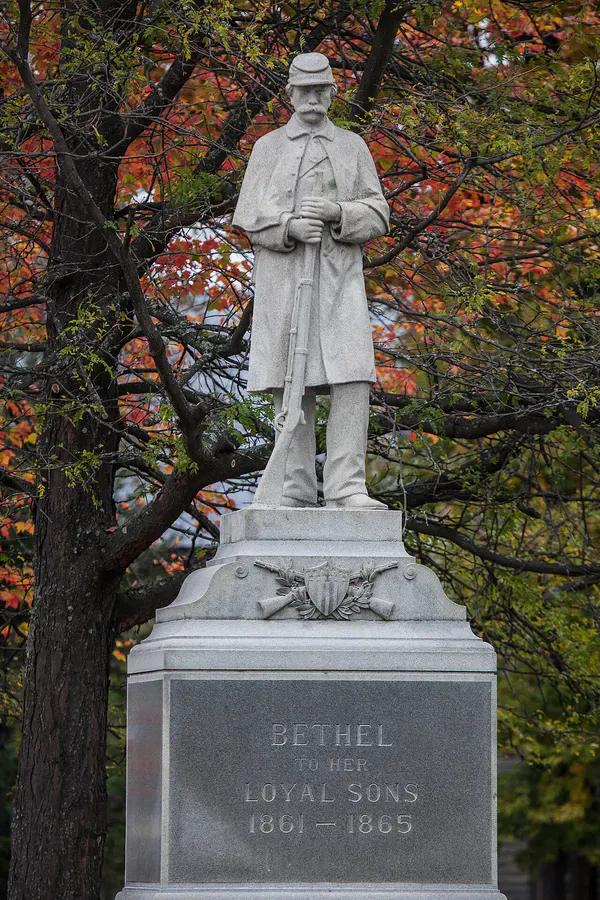
Bethel’s Backyard Mountain
Mount Will is Bethel’s local hike, a 4.0-mile loop through the Bethel Town Forest with three distinct ledge overlooks offering views in different directions. The North Ledges look east over the Androscoggin River valley and the town of Bethel. The South Cliffs face west toward the Mahoosuc Range. In between, a forested ridge walk connects the two viewpoints.
For hikers staying in the Bethel or Sunday River area, Mount Will is a solid half-day option that punches above its weight for views.
The Trail
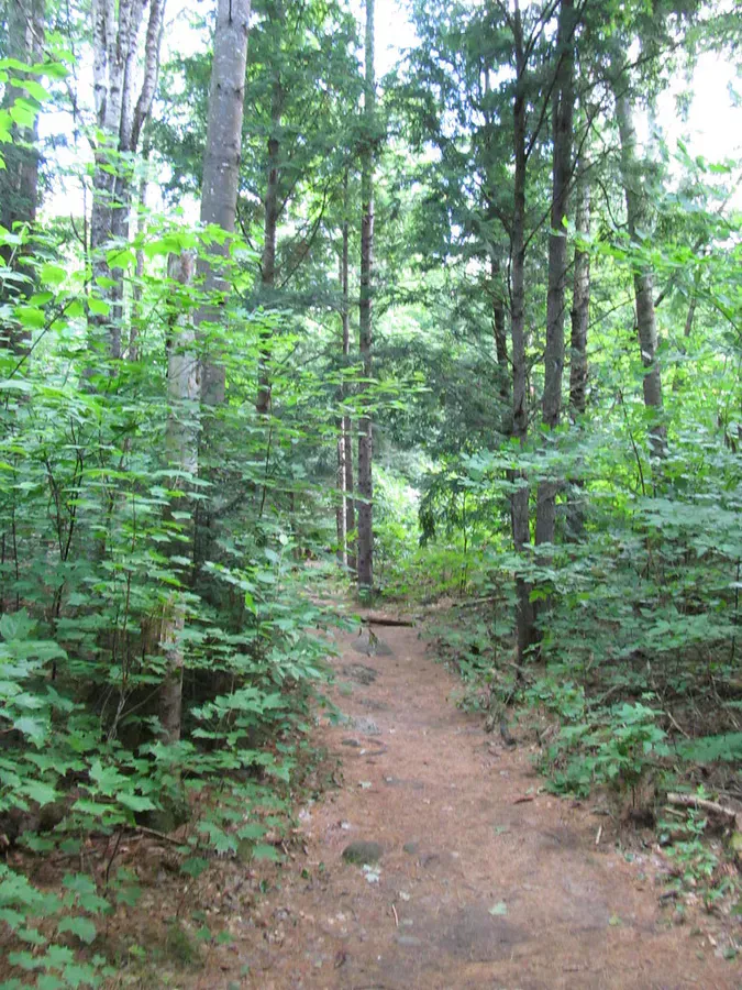
The trailhead is on Route 2 in Bethel, marked by a small sign. The trail enters the Bethel Town Forest and climbs steadily through hardwoods. The first mile gains about 1,000 feet in elevation, which makes it steeper than it looks on paper. Short rocky sections require careful footing.
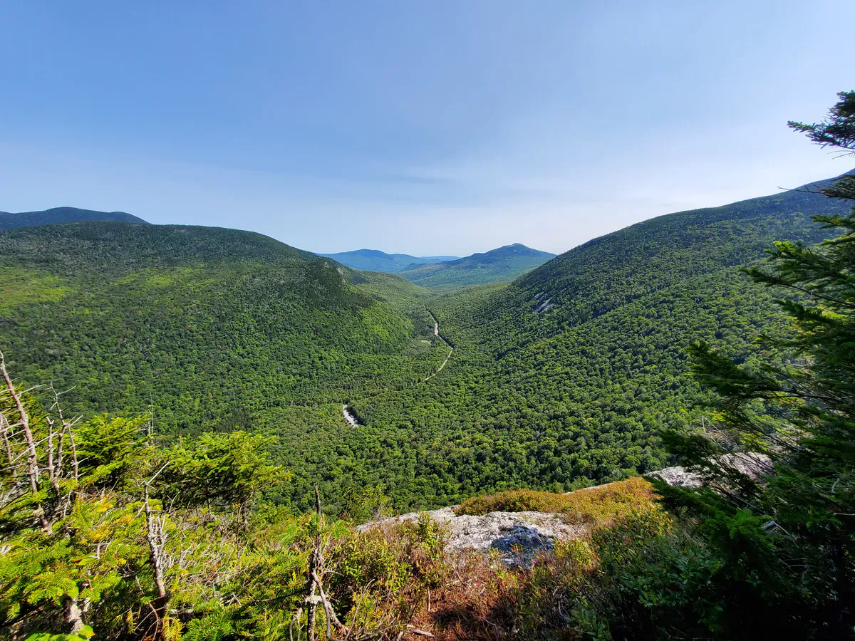
The North Ledges come first, a broad open outlook facing east. The Androscoggin River curves through the valley below, with the town of Bethel visible and the mountains rising behind it. On clear days, you can see across to Grafton Notch and the peaks beyond.
From the North Ledges, the trail follows the forested ridge south toward the summit at 1,726 feet. The summit itself is wooded with no views, but the trail continues to the South Cliffs, which face west toward the Mahoosuc Range. This viewpoint is less visited and quieter.
The loop descends via the west side of the mountain back to the trailhead.
The North Ledges are the main draw, but do not skip the South Cliffs. The western view toward the Mahoosucs is different from anything you see from the north side, and you will likely have it to yourself.
When to Go
Spring
Muddy conditions on the lower trail through May. The ledges dry out faster than the woods.
Summer
Full canopy provides shade on the forested sections. The ledges are hot in direct sun.
Fall
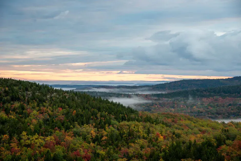
Foliage in the Androscoggin valley is outstanding from the North Ledges. Mid-October is typically peak.
Winter
The steep lower section is icy. Microspikes recommended. Short enough for a winter morning hike.
Practical Notes
Mount Will pairs well with a visit to Bethel. The town has good restaurants, a brewery, and a bookshop. Sunday River ski area is nearby for winter visitors.
Dogs are allowed and frequently seen on this trail. No restrooms at the trailhead. Cell service is available in the Bethel area but spotty on the mountain.
Packing List
Mount Will Day Hike
- 1.5 liters of water per person
- Sturdy shoes with good tread
- Snacks for the ledge overlooks
- Camera
- Bug spray in summer
Getting There
The Mount Will trailhead is on Route 2 in Bethel, about 0.5 miles east of the town center. Look for a small parking pulloff on the south side of the road. From Portland, the drive is about 1 hour 45 minutes. From the Sunday River ski area, it is about 15 minutes.
FAQ
How long does the Mount Will hike take?
Most hikers complete the 4-mile loop in 2 to 3 hours, including time at both ledge overlooks.
Is it steep?
The first mile is consistently steep, gaining about 1,000 feet. After that, the ridge walk is more moderate.
Can kids do this hike?
Older kids who are comfortable with steep, rocky trail will enjoy it. The ledge views are a good reward. Not ideal for very young children.
Is this near Sunday River?
Yes. The trailhead is about 15 minutes from Sunday River ski area, making it a good summer or fall activity for visitors to the area.