Maine’s Second-Highest Peak
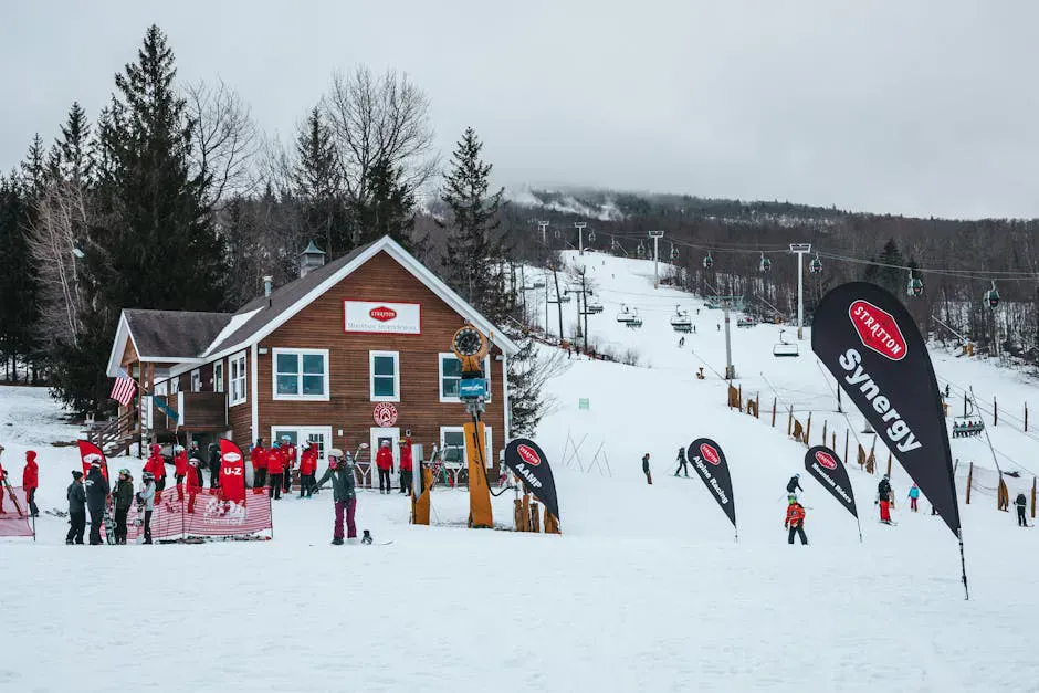
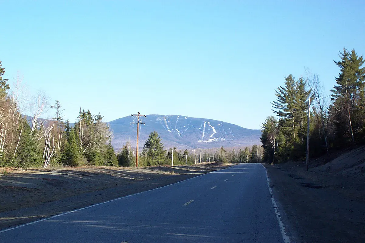
Sugarloaf Mountain stands at 4,237 feet in the Carrabassett Valley, making it the second-highest peak in Maine behind Katahdin. Most people know Sugarloaf for its ski area on the north face, one of the largest in New England. But the summer hiking route from the south via the Appalachian Trail is a completely different experience: a remote, rugged climb through dense boreal forest to a true alpine summit.
The AT once crossed Sugarloaf’s summit directly, but the trail was relocated between 1971 and 1974 to avoid conflicts with the expanding ski area. Today the AT passes to the west, and a 0.6-mile side trail leads from the AT junction to the summit. The summit itself is above treeline, with exposed rock and alpine vegetation that puts it in rare company in Maine. Only Katahdin and a handful of other peaks in the state reach above the trees.
The Trail
The standard hiking route follows the Appalachian Trail from Caribou Valley Road. The round trip is about 5.4 miles with approximately 2,300 feet of elevation gain. The trail is rated hard, and it earns that rating through sustained steepness, rocky footing, and remote terrain.
From the Caribou Valley Road trailhead, the AT climbs steadily through dense spruce and fir forest. The first couple of miles are relatively straightforward, following the white-blazed AT through typical boreal forest. The trail is well-marked but the footing is rough, with exposed roots and rocks throughout.
At roughly 2.1 miles, you reach the junction where the Sugarloaf summit side trail departs from the main AT. Turn right onto the side trail and continue climbing. This final 0.6-mile section is the steepest part of the hike, pushing through the last of the scrub spruce before breaking out above treeline.
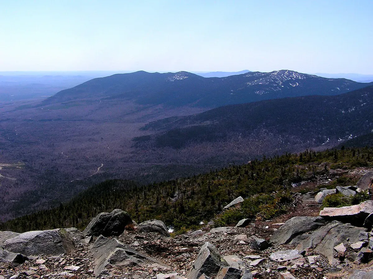
The transition from forest to open alpine terrain is dramatic. One moment you are pushing through head-high spruce, and the next you are standing on exposed rock with nothing between you and the sky. The summit area is broad and open, with views in every direction.
The Summit
The summit of Sugarloaf is one of the few true above-treeline experiences in Maine outside of Katahdin and Baxter State Park. The alpine vegetation here is fragile and takes decades to recover from damage. Stay on the rock and established paths.
To the north, you can see across the ski area trails to the Bigelow Range. To the east, Mount Abraham and the Crocker Range are prominent. To the south and west, the western mountains roll away toward Rangeley and the New Hampshire border. On clear days the view extends to the Presidential Range.
The summit also holds the remains of old ski infrastructure, including the top of a defunct chairlift. The contrast between the wild alpine terrain and the ski area hardware is striking.
For a longer day, continue on the AT past the Sugarloaf side trail junction to tag Spaulding Mountain (4,010 feet) as well. The two peaks make an excellent one-day combination for hikers working on the Maine 4,000-footer list. The round trip adds roughly 3 miles.
When to Go
Spring
Trail and road are often impassable through May. Snowpack lingers at elevation well into June. Black flies are brutal once things dry out.
Summer
Best conditions from July through August. The alpine summit is fully exposed to weather, so start early and watch for afternoon storms.
Fall
September through early October brings clear air and peak foliage below treeline. Cool temperatures make the sustained climb more comfortable.
Winter
A serious backcountry winter objective. The road is not plowed and the summit is exposed to extreme cold and wind. Only for experienced winter mountaineers.
Practical Notes
Caribou Valley Road is the crux of this hike for many people. The road starts off Route 27 and deteriorates quickly. After rain, the ruts fill with water and can swallow a sedan. A truck or SUV with decent clearance is strongly recommended. If in doubt, park at the road gate and walk in, adding roughly 4 miles round trip to the total distance.
There are no facilities at the trailhead or anywhere on the trail. Bring everything you need, including all water. The streams in the area are seasonal and may be dry in late summer.
Cell service is nonexistent from the time you leave Route 27 until you return. This is remote terrain, and you should treat it accordingly.
Packing List
Sugarloaf Summit Hike
- 3 liters of water per person (no reliable water sources)
- Lunch and high-energy snacks
- Wind and rain layer (summit weather changes fast)
- Extra warm layer for the alpine summit
- Sturdy boots with aggressive tread
- Trekking poles for the steep descent
- Map and compass (no cell service)
- Bug spray May through July
- Sun protection for the above-treeline summit
Getting There
From Portland, take Route 4 north through Farmington, then Route 27 north through Kingfield to Carrabassett Valley. Turn onto Caribou Valley Road (a gravel logging road). The drive from Portland is about 2 hours and 45 minutes to the Route 27 turnoff, plus additional time on the gravel road depending on conditions. From Bangor, take Route 2 west to Farmington, then Route 27 north, about 2.5 hours.
The town of Carrabassett Valley and nearby Kingfield have gas stations, restaurants, and basic supplies.
FAQ
How hard is the Sugarloaf Mountain hike?
Hard. The 5.4-mile round trip gains about 2,300 feet through rough, rocky terrain. The approach road adds difficulty as well. Expect 4 to 6 hours for the hike itself.
Is Sugarloaf Mountain the same as the ski area?
The ski area occupies the north face. The hiking route via the Appalachian Trail approaches from the south through forest, and you reach the summit above the ski terrain. In summer, the ski area trails are not used for the standard hiking route.
Do I need a 4WD vehicle?
Strongly recommended for Caribou Valley Road, which is rough and often muddy. You can park at the gate and walk the road to the trailhead if your vehicle cannot handle it, but this adds significant distance.
Is Sugarloaf above treeline?
Yes. The summit is above treeline with fragile alpine vegetation. It is one of the few peaks in Maine outside of Katahdin that reaches true alpine terrain.
Can I hike Sugarloaf and Spaulding Mountain in one day?
Yes. Strong hikers can combine both 4,000-footers by continuing on the AT past the Sugarloaf side trail junction. The combined trip is roughly 8 to 9 miles round trip.
For more high peaks in the area, see our guides to Saddleback Mountain and Mount Abraham.