A York County River for Building Skills
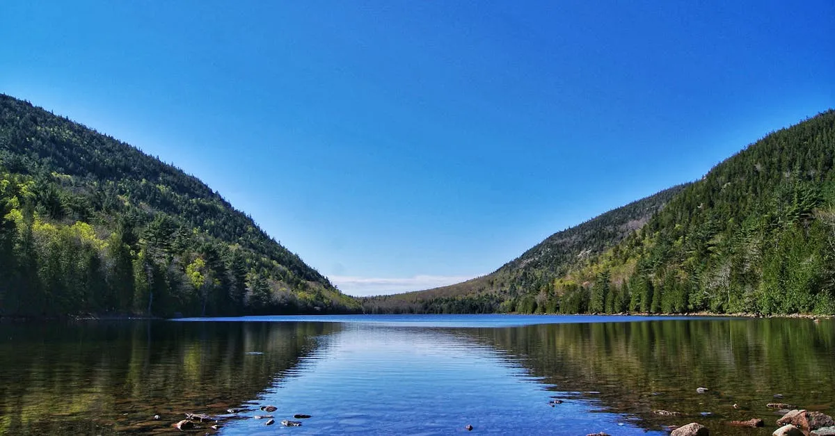
The Little Ossipee River is southern Maine’s quiet workhorse paddle, a York County stream that rises at the outlet of Balch Pond in Newfield and runs east about 34 miles to join the Saco River near East Limington. Paddlers most often run a long stretch from the Balch Pond area down toward the Saco, roughly 28 river miles of flatwater and easy whitewater that you can break into shorter day trips. It is not a famous river, and that is part of why locals like it: gentle current, wooded banks, and enough riffles to keep things interesting without intimidating newer paddlers.
Despite the name, the Little Ossipee is a separate river from the larger Ossipee River to the north at Kezar Falls. Both drain into the Saco, but the Little Ossipee is the southern, York County stream, flowing through Newfield, Shapleigh, Waterboro, and Limerick on its way to the sea.
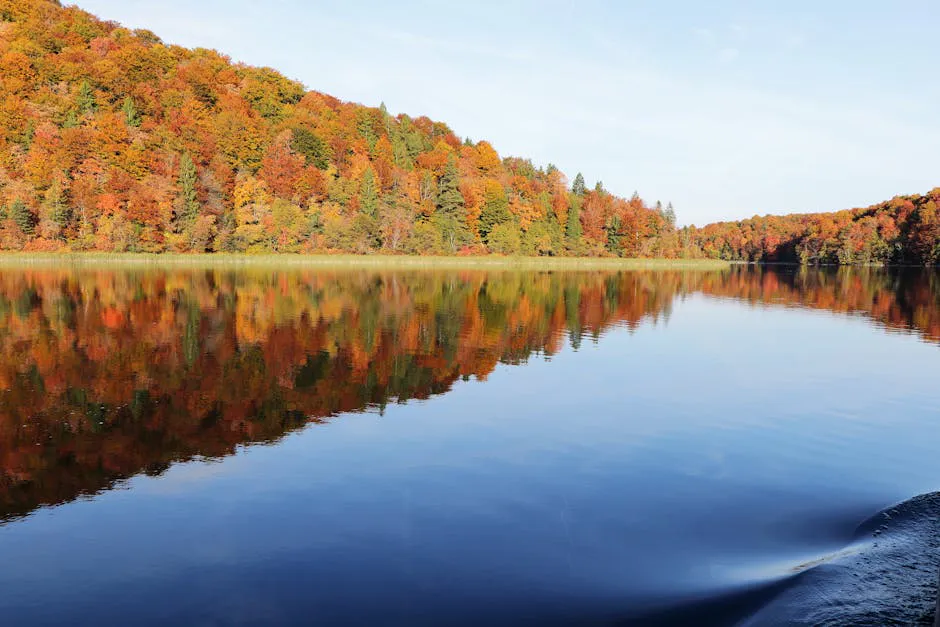
Like most southern Maine rivers, it runs best on spring snowmelt and after rain. In a dry summer the upper sections go shallow and rocky, so the river is at its friendliest in spring or a day or two after a storm.
The Route
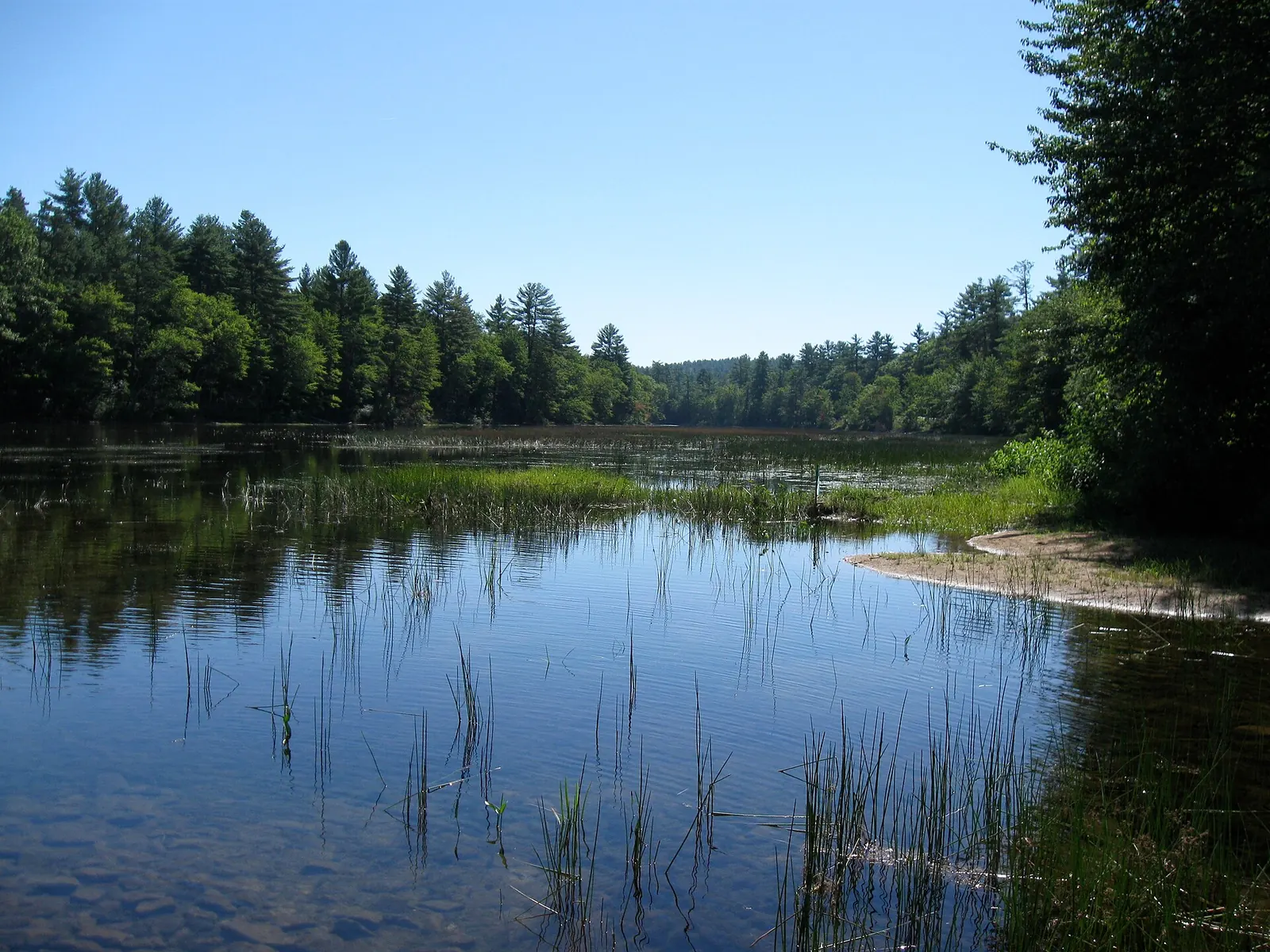
The longer run starts near the Balch Pond outlet in Newfield (about 43.6510, -70.8230) and works east toward the Saco, roughly 28 river miles in total. The river is mostly gentle, mixing flatwater with easy quickwater and small rapids, and is considered beginner-friendly for the most part, though high spring flows make the moving sections livelier.
Few paddlers run the whole length at once. The river passes through Shapleigh Pond and Lake Arrowhead and along several town lines, and bridge crossings at Newfield, Shapleigh, Waterboro, and Limerick let you put together day trips of whatever length you want. Set a shuttle vehicle at your chosen take-out, since this is point-to-point paddling.
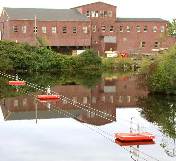
Watch for the impoundments. The flowages and dams along the river mean you should plan your put-ins and take-outs around them rather than paddling into a dam.
The Little Ossipee has dams and flowages along its length, so know where they are and take out above them. Spring snowmelt brings cold, faster water, so wear a PFD, dress for the water temperature, and scout anything you cannot see from upstream. In low summer water the upper river goes rocky and may require dragging.
Access Points and Put-ins
The upper put-in is near the Balch Pond outlet in Newfield (about 43.6510, -70.8230). Below that, informal access at the bridge crossings in Newfield, Shapleigh, Waterboro, and Limerick lets you choose trip lengths and work around the flowages. Take-outs near the Saco confluence at East Limington finish the longer run. Access here is informal, so park considerately and respect private land along the banks.
Rocky beaches & streams
Getting There
Newfield is in northern York County, in southwestern Maine. From Portland, take Route 25 west toward Cornish, then local roads south to Newfield, about an hour. From the Sanford area, Route 11 and local roads reach Newfield from the south. The Balch Pond area is on the New Hampshire line at the river’s headwaters.
Because the river runs point-to-point, scout your take-out at a downstream bridge or near the Saco confluence and leave a vehicle there before you launch.
Pick your section to match the water. After a spring rain the upper river above Lake Arrowhead runs well and gives you the liveliest current; in a dry summer, focus on the lower, deeper reaches and the flowages where there is always enough water to float. A quick level check before you drive out saves a bony, frustrating trip.
When to Visit
Spring
Snowmelt and rain bring the river to its fullest, with the liveliest current and the cleanest runs through the riffles. Cold water, so dress for immersion.
Summer
Warm and pleasant on the lower reaches and flowages. The upper river can go shallow and rocky in dry spells; best after rain.
Fall
Pleasant foliage along the banks, but flows are often low unless fall rains raise the river. Cooler water.
Winter
Ice-covered and not paddleable.
Spring is the prime season, with snowmelt feeding the fullest, liveliest flows. Summer is enjoyable on the lower river and flowages but goes thin up high in dry weather, and fall depends on rain to raise the water again.
Packing List
Little Ossipee River Paddle
- Kayak or canoe for easy moving water
- PFD worn at all times
- Warm layers or wetsuit for cold spring water
- Dry bag for a change of clothes
- Water shoes or river footwear
- Throw rope for moving sections
- Shuttle vehicle at the take-out
- Current water-level check before launching
- Maine fishing license if you plan to fish
FAQ
Where is the Little Ossipee River?
It is in northern York County in southwestern Maine. It rises at the outlet of Balch Pond in Newfield and flows east about 34 miles through Newfield, Shapleigh, Waterboro, and Limerick to join the Saco River near East Limington.
Is the Little Ossipee the same as the Ossipee River?
No. The Little Ossipee is a separate, smaller York County river. The Ossipee River runs farther north through Kezar Falls. Both drain into the Saco, but they are different rivers.
How hard is the Little Ossipee to paddle?
It is mostly gentle and beginner-friendly, mixing flatwater with easy quickwater and small rapids. High spring flows make the moving sections livelier, and there are dams and flowages to plan around.
How long is the paddling run?
The longer run from the Balch Pond area toward the Saco is roughly 28 river miles. Most paddlers break it into shorter day trips using the bridge crossings in Newfield, Shapleigh, Waterboro, and Limerick.
When is the best time to go?
Spring snowmelt gives the fullest, liveliest flow. Summer works on the lower river and flowages but goes shallow up high in dry weather, so paddle a day or two after rain for the best conditions.