Easy Whitewater Close to Portland
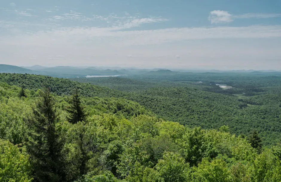
The Ossipee River is one of the more accessible moving-water paddles in southern Maine, an easy Class I-II run that puts you on whitewater without a long drive into the mountains. It begins at the dam in Kezar Falls village, on the Oxford and York county line in the Sebago foothills, and flows roughly 12.5 miles down to its confluence with the Saco River. The grade is gentle, the rapids forgiving, and the country a pleasant mix of village edges, farmland, and wooded riverbank.
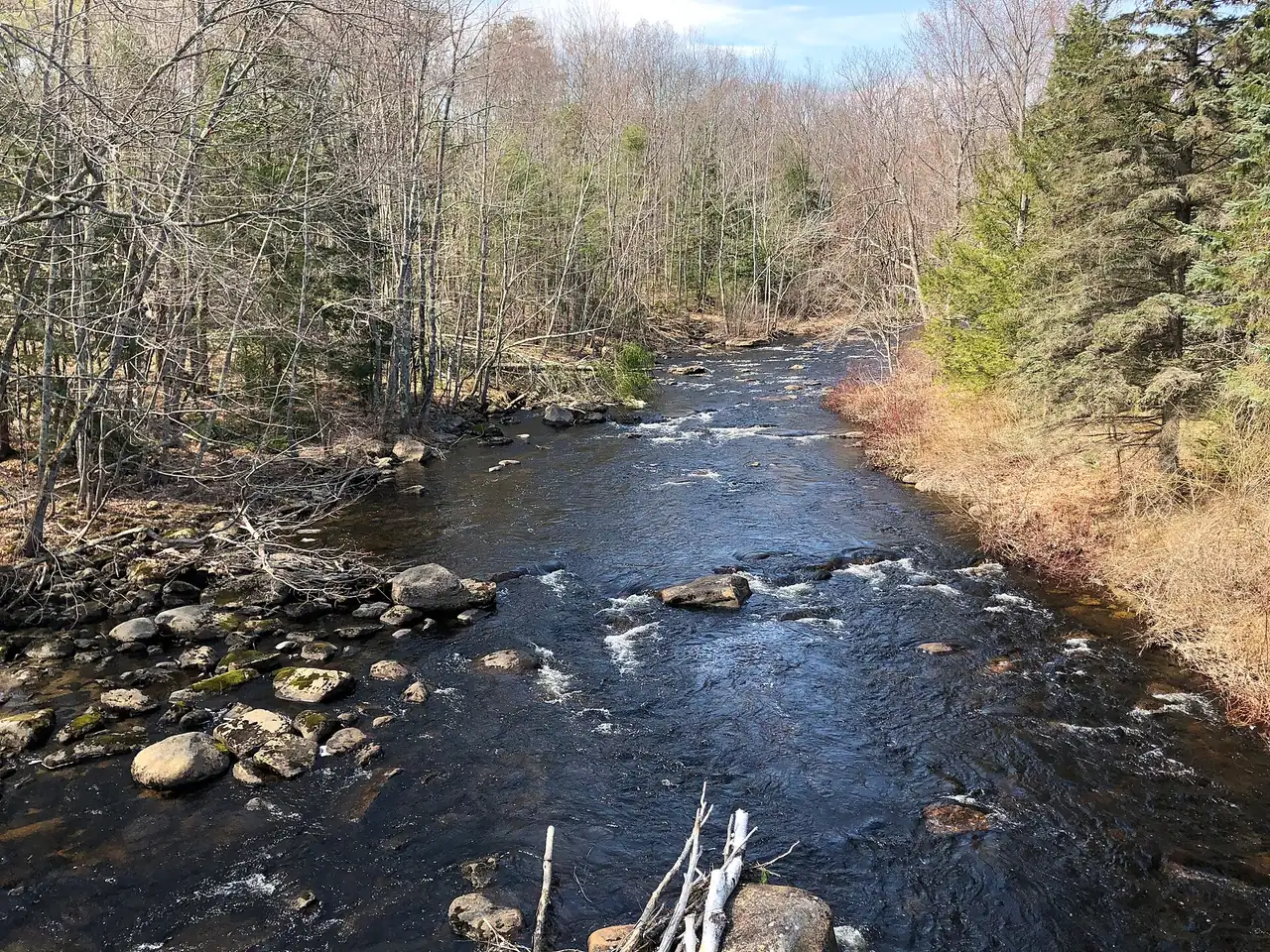
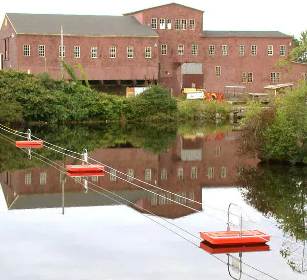
Kezar Falls sits where the river drops over a series of ledges, an old mill village built around the water power. Below the dam the river settles into the kind of bouncy, beginner-friendly quickwater that makes the Ossipee a good place to build river skills. It is close enough to Portland for a half-day outing, which is part of its appeal.
The run depends on water level. Spring snowmelt and rain bring it up to its best, while midsummer can leave the rapids thin and rocky. Check conditions before you commit, and pick your day after a good rain if you want the fuller flow.
The Route
The standard run goes from the Kezar Falls Dam (about 43.8070, -70.8910) down about 12.5 miles to the Saco River. The river is rated Class I-II, easy whitewater interspersed with flatwater, and is a comfortable run for intermediate paddlers and confident beginners with someone experienced along.
From the put-in below the Kezar Falls dam, the river runs past the village and out into more rural country, riffling over gravel bars and small ledges as it works toward the Saco. The take-out is near the confluence with the Saco; many paddlers shorten the trip by using intermediate access points along the way. Because it is a point-to-point run, set a shuttle vehicle at your chosen take-out.
Do not run the dam or the ledges in Kezar Falls village itself. Put in below them.
The dam and the ledge drops in Kezar Falls village are not part of the run. Put in below them, and never attempt to paddle over the dam. On the river, spring flows can be cold and pushy, so wear a PFD, dress for the water temperature, and be ready to scout any ledge you cannot see over from upstream.
Access Points and Put-ins
The main put-in is below the Kezar Falls Dam in the village (about 43.8070, -70.8910), with roadside parking nearby. The river offers informal access at several bridge crossings between Kezar Falls and the Saco, which lets you tailor the length of your trip. The downstream take-out sits near the Saco confluence. Access points here are informal, so park considerately and respect private property along the banks.
Rocky beaches & streams
Getting There
Kezar Falls is on Route 25 in the southwestern corner of Maine, on the Oxford and York county line. From Portland, take Route 25 west through Standish and Cornish to Kezar Falls, about an hour. From the Sebago Lake area, Route 25 connects directly. The put-in is below the dam in the village.
To set up the shuttle, scout your take-out near the Saco confluence and leave a vehicle there before you launch in Kezar Falls.
Paddle it after rain. The Ossipee is a level-dependent run, and in a dry stretch of summer the rapids get bony and the paddle turns into a lot of dragging over gravel. A day or two after a solid rain, the river comes up to a friendly, bouncy Class I-II and the whole 12.5 miles flows well.
When to Visit
Spring
Snowmelt and rain bring the river to its fullest. The rapids run well and cleanly, though the water is cold. Dress for immersion.
Summer
Warm and pleasant after rain, but the river can drop low and rocky in dry spells. Best a day or two after a storm.
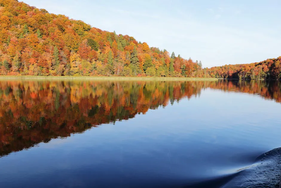
Fall
Foliage along the banks is nice, but flows are often low unless fall rains raise the river. Cooler water.
Winter
Ice-covered and not paddleable.
Spring is the prime season, with snowmelt and rain giving the run its best flow. Summer works well after rain but goes thin in dry spells, and fall depends on whether the rains come to raise the river again.
Packing List
Ossipee River Paddle
- Kayak or canoe for Class I-II water
- PFD worn at all times
- Wetsuit or warm layers for cold spring water
- Dry bag for a change of clothes
- Water shoes or river footwear
- Throw rope for moving water
- Shuttle vehicle at the take-out
- Current water-level check before launching
- Maine fishing license if you plan to fish
FAQ
How long is the Ossipee River run?
The standard run is about 12.5 miles from the Kezar Falls Dam down to the Saco River. You can shorten it using informal bridge access points along the way.
How hard is the Ossipee River?
It is rated Class I-II, easy whitewater mixed with flatwater, suitable for intermediate paddlers and confident beginners with experienced company. The dam and village ledges are portaged, not run.
When is the best time to paddle it?
Spring snowmelt gives the best, fullest flow. Summer works after rain but can go low and rocky in dry spells, so aim for a day or two after a good rain for the fuller run.
Where do you put in?
Put in below the Kezar Falls Dam in the village off Route 25, with roadside parking nearby. Never put in above the dam or attempt to run it.
Is it close to Portland?
Yes. Kezar Falls is about an hour west of Portland via Route 25, making the Ossipee one of the more accessible moving-water paddles in southern Maine for a half-day trip.