The Sheltered Side of the Island Trail
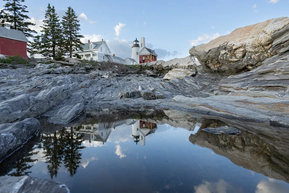
Muscongus Bay is the gentler, more protected midcoast stretch of the Maine Island Trail, the 375-mile water trail that runs the length of the coast. Where the Casco Bay segment throws open crossings and ferry traffic at you, Muscongus is a maze of small spruce-clad islands, narrow passages, and shoals that break the swell and give intermediate paddlers somewhere to learn the rhythms of sea kayaking. The bay sits between the Pemaquid and Friendship peninsulas, with Hog Island and its National Audubon camp near the north end and Franklin Island Light standing offshore to the south.
This is still saltwater, with real tides and the occasional exposed reach, but the island density means you are rarely far from a lee shore. The Maine Island Trail Association rates this segment as intermediate. The Muscongus run covers about 12 miles one way, and the protected character makes it a favorite for two- and three-day camping trips that hop from island to island.
Wildlife is a big part of the draw. Hog Island Audubon Camp anchors a long tradition of birding here, and the bay’s ledges and islands host nesting seabirds, ospreys, eagles, and harbor seals hauled out on the rocks. A pair of binoculars earns its place in the day hatch.
The Route
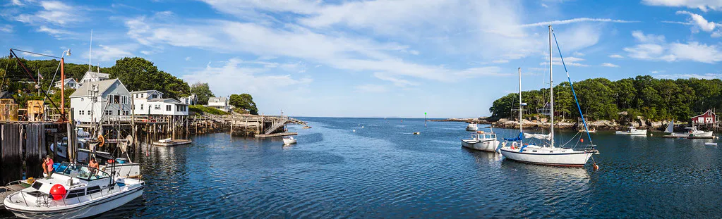
The usual launch is Round Pond in Bristol, a sheltered working harbor with a paved ramp on the western side of the bay. From there the trail leads out among the islands and south toward the open water near Franklin Island.
A classic intermediate progression works from Round Pond out past the inner islands toward Crow and Thief islands, both of which have designated camping, then south within sight of Franklin Island Light, about 12 miles of paddling across the segment. Many parties make it a three-day loop, camping on the trail islands and using the protected passages to dodge wind. Hog Island and the Audubon camp lie toward the north end of the bay and are usually viewed from the water rather than landed on, since the island is an active education center.
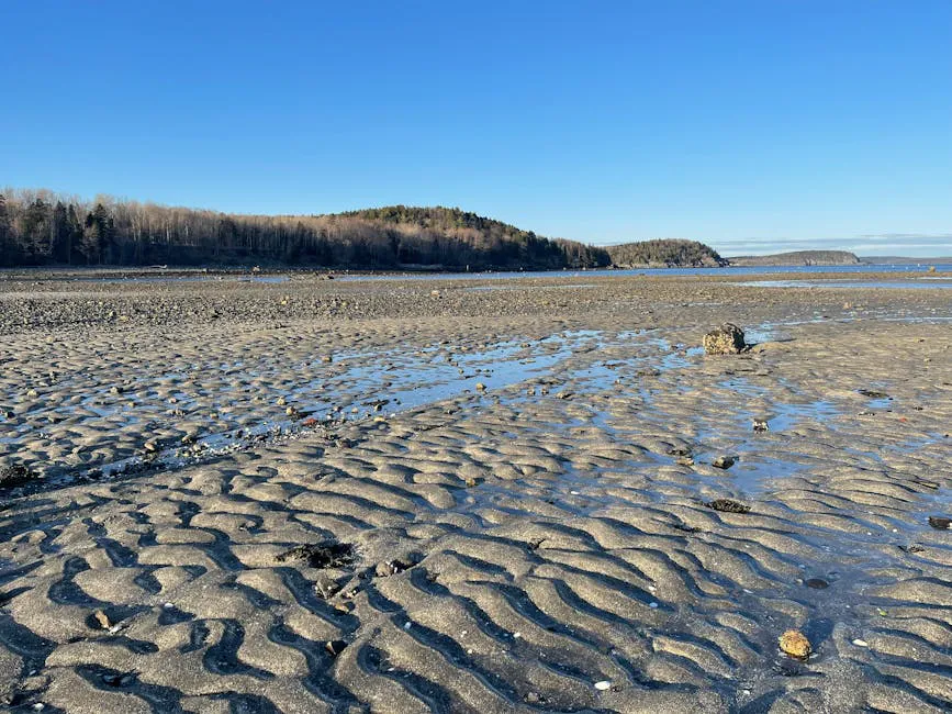
Distances between islands are short, but watch the tide. Shoals and ledges that are open passages at high water become mud and rock at low tide, and the current runs hard in the narrow gaps.
Even on the protected side, this is the ocean. Water stays cold into summer, fog can settle quickly, and tidal currents accelerate through the narrows between islands. Dress for immersion, carry a chart and tide table, and check the marine forecast. Some island landings depend entirely on the state of the tide.
Access Points and Put-ins
Round Pond (about 43.9438, -69.4566) in Bristol is the main launch, a protected harbor with a small-craft ramp and nearby parking. Dutch Neck in Waldoboro, on the eastern side of the bay, offers overnight parking and day-use access for paddlers approaching from that side.
Camping is allowed only at designated trail sites. Crow Island and Thief Island both have established camping zones, and most island sites here are Maine Island Trail Association member sites. Thief Island in particular has poison ivy, so watch where you set your tent. Joining MITA provides the annually updated guide and app that maps every legal landing and campsite in the bay.
Wildlife & bird watching
Getting There
Round Pond is on Route 32 on the Pemaquid Neck in Bristol. From Portland, take Route 1 north to Waldoboro or Damariscotta, then follow Route 32 south to Round Pond village, about an hour and a half. From Bangor, take I-95 and Route 1 south to the same turnoffs, just under two hours.
Dutch Neck Boat Launch in Waldoboro is off Dutch Neck Road south of Route 1, a shorter approach to the eastern islands.
Time your crossings to the tide, not just the wind. The shoals and ledges that make Muscongus so sheltered also drain at low water, turning a paddle-through passage into a carry across mudflats. A tide table and a willingness to plan around it will save you a slog and let you ride the current instead of fighting it.
When to Visit
Spring
Birds return and the bay is quiet, but water is very cold and fog is frequent. Best left to drysuit-equipped paddlers.
Summer
Warmest water and weather, peak island-camping season, and active seabird and seal activity. Calm mornings are ideal.
Fall
Clear, stable air and far fewer boats. Water cools fast, so dress for immersion. Excellent on settled high-pressure days.
Winter
Cold and harsh. Not a recreational sea-kayaking season on the bay.
Summer is the prime window, with the warmest water, open camping on the trail islands, and the most wildlife. Early fall offers crisp, clear paddling and solitude, with the trade-off of colder water and shorter days.
Packing List
Muscongus Bay Sea Kayak Trip
- Sea kayak with spray skirt and bulkheads
- PFD worn at all times
- Wetsuit or drysuit for cold-water immersion
- Nautical chart, compass, and tide table
- Dry bags for camping gear and dry clothes
- Bilge pump and paddle float for self-rescue
- Binoculars for seabirds and seals
- MITA guide for legal landings and campsites
- Water and food (no services on the islands)
FAQ
Where do you launch to paddle Muscongus Bay?
The main launch is the Round Pond harbor ramp in Bristol on the western side of the bay. Dutch Neck in Waldoboro is an alternative with overnight parking for trips approaching from the east.
Is Muscongus Bay easier than Casco Bay?
Generally yes. The dense islands and shoals break up swell and provide lee shores, so the Maine Island Trail Association rates it intermediate rather than advanced. It is still cold saltwater with real tides and currents.
Can you land on Hog Island?
Hog Island is an active National Audubon education camp, so paddlers usually view it from the water rather than landing. There are designated trail islands such as Crow and Thief for camping and stops.
What wildlife will I see?
Muscongus is a birding bay. Expect ospreys, bald eagles, nesting seabirds, and harbor seals hauled out on the ledges, with Hog Island Audubon anchoring a long birding tradition here.
Do I need to watch the tides?
Yes. Shoals and ledges that form open passages at high water dry out to mud and rock at low tide, and current runs hard through the narrows. Carry a tide table and plan crossings around it.