Maine’s Easternmost Headland
Shackford Head State Park occupies 90 acres on a rocky headland at the tip of Eastport’s Moose Island, making it one of the easternmost publicly accessible hiking destinations in the United States. The park overlooks Cobscook Bay to the west and the open waters of Passamaquoddy Bay to the east, with views across to Campobello Island, New Brunswick, and the Canadian coast. On clear mornings, this headland is among the first places in the continental US to see the sunrise.
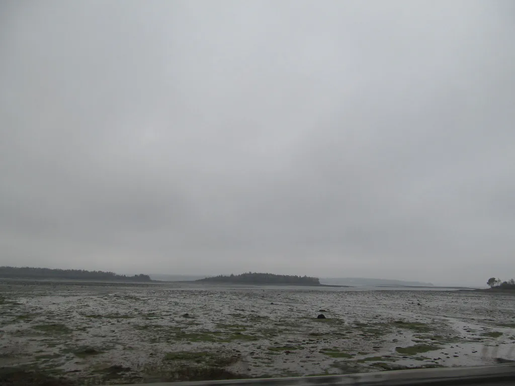
The park is small but dramatic. A 2.2-mile trail system climbs through spruce forest to the open summit at 173 feet, where exposed rock and windswept scrub provide unobstructed panoramic views. From the top, you look down on Cobscook Bay’s notorious tidal flats, where 28-foot tides expose and cover vast areas of seabed twice daily. The scale of the tidal change is visible and visceral from this vantage point.
Shackford Head is lightly visited even in summer. The drive to Eastport keeps casual tourists away, and the park’s small size means it does not appear on many lists. For those who make the trip, the combination of remote coastal scenery, tidal drama, and Downeast solitude is worth every mile.
If you are staying in Eastport for more than a day, hike Shackford Head at both high and low tide. The transformation of the bay below is dramatic, at high tide, the water stretches to the horizon; at low tide, vast mudflats and exposed ledges appear, with shorebirds feeding in numbers. The two views look like entirely different landscapes.
Trails
The trail system is simple and well-marked, with three main routes that can be combined into a loop.
The Main Trail starts at the parking area and climbs gradually through dense spruce forest to the summit. The distance is about 0.8 miles one way, with the most elevation gain concentrated in the last third. The forest is dark and atmospheric, typical of coastal Downeast Maine, with thick moss, lichens, and the constant presence of fog even on sunny days.
The Shore Trail descends from the summit to the western shore of the headland, reaching the rocky waterline at Cobscook Bay. This section provides close-up views of the tidal flats and the opportunity to explore the intertidal zone at low tide. The footing is rough on the shore, wear sturdy boots.
The Cove Trail connects the shore back to the parking area via a cove on the northern side of the headland. This trail passes through a transition zone between forest and shore, with wildflowers in summer and migrating warblers in spring and fall.
The full loop combining all three trails is approximately 2.2 miles and takes one to two hours depending on how much time you spend at the summit and shore.
The summit of Shackford Head is exposed to wind from all directions. On stormy days, the gusts can be strong enough to affect your balance. Stay back from cliff edges, which can be slippery when wet. The shore trail has steep sections with loose rock. Wear sturdy footwear.
Wildlife and Tides
Shackford Head’s position on the edge of Cobscook Bay places it in one of the richest tidal ecosystems on the Atlantic coast. The extreme tidal range creates habitats for an enormous diversity of marine life, and the predators that feed on them are visible from the headland.
Bald eagles are the most prominent residents. Multiple pairs nest in the tall spruce along the headland and fish in the bay. You are almost certain to see eagles from the summit or shore trails, especially in the morning and evening when they are most active.
Harbor seals haul out on exposed ledges at low tide, visible from the summit with binoculars. Osprey fish the bay in summer. During fall migration, raptors pass over the headland in numbers, riding thermals off the warming land.
The tidal flats exposed at low tide attract thousands of shorebirds during migration periods (late July through September). Semipalmated sandpipers, black-bellied plovers, and greater yellowlegs are among the most common species.
Bring binoculars and a bird guide. The concentration of bald eagles around Cobscook Bay is one of the highest in Maine. From the summit of Shackford Head on a clear morning, I have counted eight eagles visible simultaneously, fishing, soaring, and perched in the tall spruces. The combination of eagles, seals, and shorebirds makes this one of the best wildlife viewing spots in Downeast Maine.
When to Visit
Spring
Muddy trails, fog. Returning warblers and nesting eagles. Cool and damp.
Summer
Warmest weather, wildflowers, full foliage. Fog common but adds atmosphere.
Fall
Clearest views, raptor migration, shorebird spectacle. October foliage.
Winter
Dramatic storms, empty trails, eagles present year-round. Cold and windy.
Summer and fall are the best seasons. Summer has the warmest conditions and longest days, though fog is common. Fall brings the clearest skies, migrating raptors and shorebirds, and some of the most dramatic weather of the year.
Practical Information
Shackford Head State Park is free to visit year-round. There is no entrance fee and no facilities beyond a small parking lot. There are no restrooms at the park. Eastport has restaurants, a few B&Bs, and basic services.
Cell service is spotty at the park. The nearest town with reliable service is Eastport, a few minutes away.
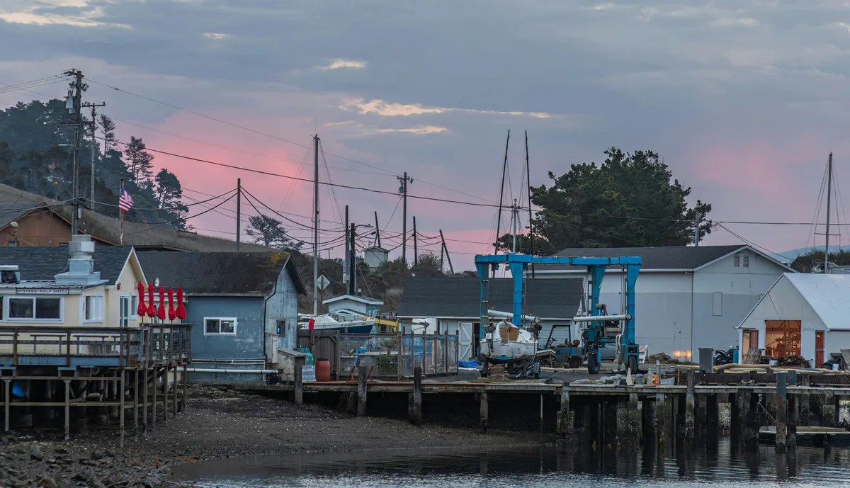
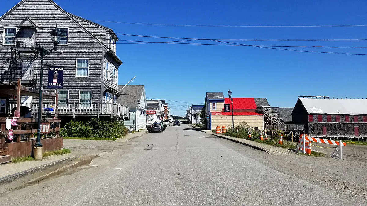
The drive to Eastport is long from anywhere, 3 hours from Bangor, 5.5 from Portland. But Eastport itself is a fascinating small city with a rich maritime history, excellent restaurants for its size, and a character unlike anywhere else in Maine.
Packing List
Shackford Head Hike
- Sturdy hiking boots (rocky terrain)
- Windproof jacket (summit is exposed)
- Binoculars (essential for eagle and seal viewing)
- Camera with zoom lens
- Water and snacks (no facilities)
- Layers (weather changes quickly on the coast)
- Tide chart (to time your visit for maximum impact)
- Bug spray (summer in the forest)
Getting There
Shackford Head State Park is on the eastern side of Moose Island in Eastport. From Route 190 in Eastport, follow signs toward the park on Deep Cove Road. The parking area is at the end of a short access road.
From Bangor, take Route 1A east to Route 1, continue east through Machias to Perry, then Route 190 to Eastport, approximately 3 hours. From Machias, Eastport is about 45 minutes east.
GPS coordinates: 44.9150, -66.9850
FAQ
Is Shackford Head State Park free?
Yes. No entrance fee, no parking fee. The park is free and open year-round.
How long is the hike?
The full loop is 2.2 miles and takes 1-2 hours. The summit-only out-and-back is about 1.6 miles.
Can I see Canada from the summit?
Yes. Campobello Island, New Brunswick, is clearly visible across Passamaquoddy Bay. On clear days, the Canadian coastline stretches into the distance.
Are there restrooms?
No. There are no facilities at the park. Plan accordingly. Restrooms are available in downtown Eastport.
Is it worth the drive to Eastport?
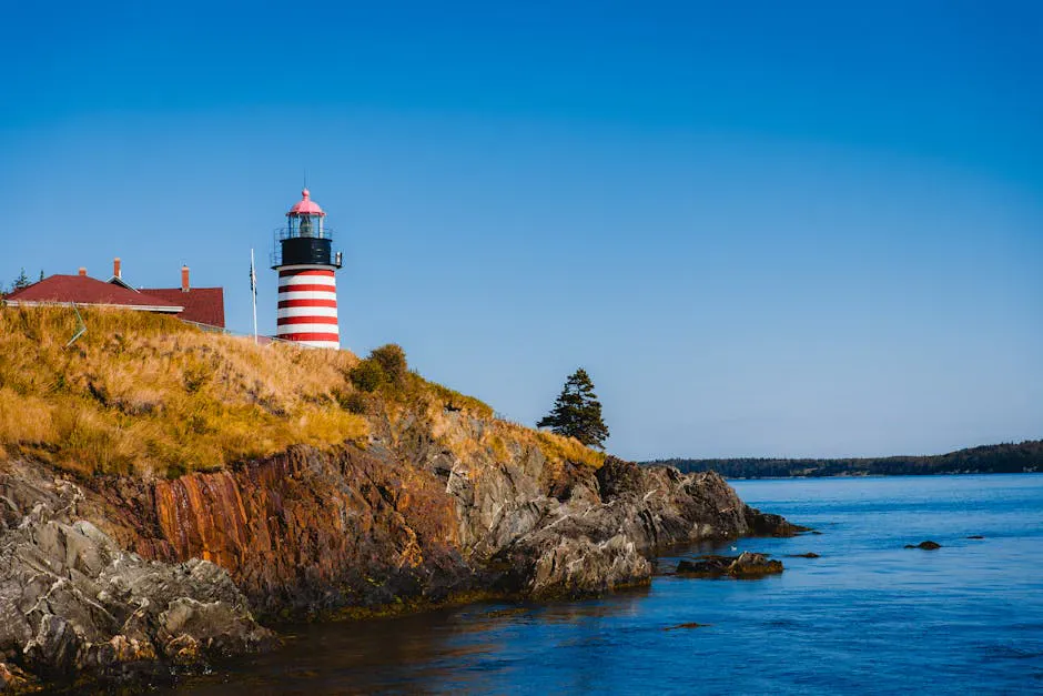
If you appreciate remote coastal scenery, dramatic tides, and genuine solitude, yes. Eastport and Shackford Head offer an experience unlike anything else on the Maine coast. Combine it with Quoddy Head State Park and Cobscook Bay for a full Downeast trip.