Falls at the Edge of Nowhere
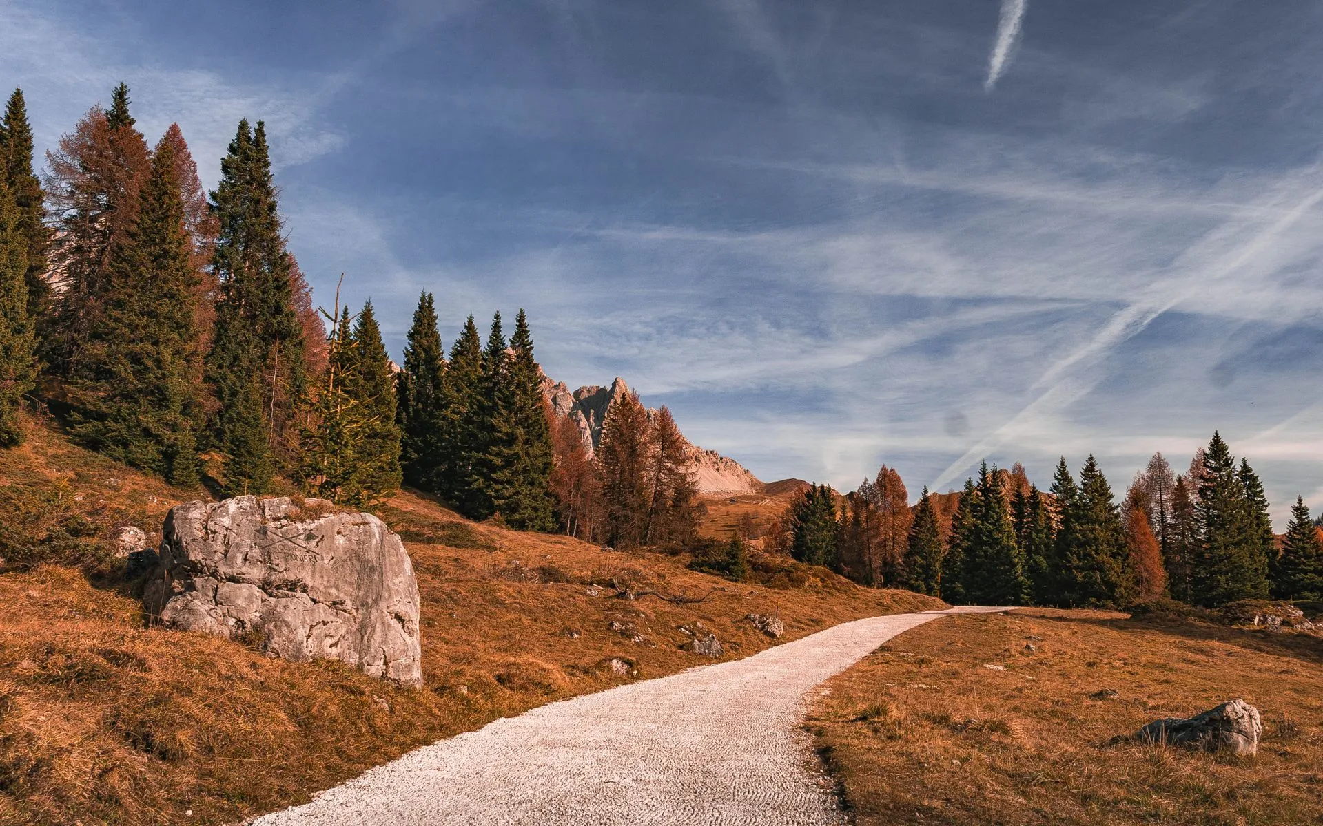
Buttermilk Falls drops roughly 30 feet on Cochrane Brook in Ludlow Township, deep in Aroostook County. This is northern Maine in its purest form: dense forest, no cell service, few people, and a waterfall that most Mainers have never heard of. The falls tumble over a series of rock ledges into a narrow ravine, and on most days you will be the only person there.
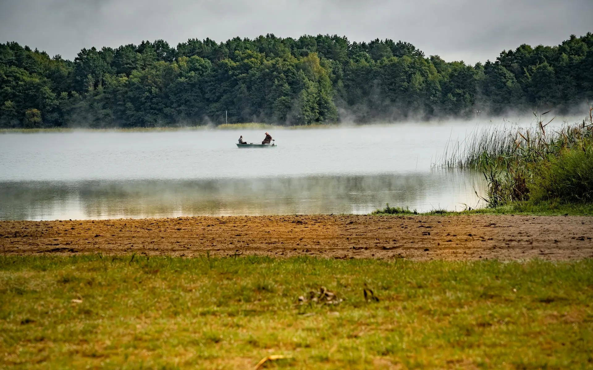
Aroostook County is Maine’s largest county, bigger than Connecticut and Rhode Island combined, and most of it is forest. The population is sparse, concentrated in towns like Houlton, Presque Isle, and Caribou along the I-95 corridor. Away from those towns, the landscape is an unbroken expanse of spruce, fir, and hardwood, threaded by logging roads and small streams. Buttermilk Falls sits in this quiet backcountry, the kind of place you have to specifically seek out.
Getting to the Falls
Reaching Buttermilk Falls requires some navigation. The falls are accessed via gravel logging roads off the main highway network near Ludlow Township. The exact route depends on current road conditions and which roads are gated or active for logging operations. A high-clearance vehicle is recommended, though in dry summer conditions, a careful driver in a regular car can usually make it.
The walk from the pulloff to the falls is short, roughly 0.3 miles each way, but it is not a maintained trail. You follow a path through the woods that descends to the brook. The footing is uneven with roots, rocks, and possibly blowdowns. It is not difficult, but it is not a groomed park path either. A pair of sturdy hiking boots makes the rooty descent and the wet ledges at the base far more secure.
The Falls
Cochrane Brook is a small stream, and Buttermilk Falls is not a massive waterfall. What it offers is beauty and isolation. The water drops over layered rock ledges in a series of steps and slides, with the main drop being the most dramatic. The rock is dark and mossy, the pool at the base is small and clear, and the surrounding forest presses in close on all sides. Ferns, birch, and spruce frame the scene.
In spring, snowmelt gives Cochrane Brook its best flow, and the falls are at their fullest. By midsummer, the brook drops to a more modest volume, but the falls still run. By late August in a dry year, the flow can thin considerably. If water volume matters to you, aim for late May or June.
The falls face roughly north, which means they are shaded much of the day. The light is soft and diffused, which is actually good for photography. Harsh shadows are rare, and the moss and ferns glow in the gentle light. The damp, shaded ravine is prime habitat for northern Maine’s relentless black flies and mosquitoes, so do not skimp on bug and tick protection here.
When to Go
Spring
Peak water flow in May and June. Roads may be muddy from spring thaw. Black flies are fierce in June.
Summer
Drier roads, moderate water flow. July is best for balancing access and flow. Late August can be very low water.
Fall
Low water but beautiful foliage. Roads are generally in good shape. Shorter days.
Winter
Road access unlikely. Falls may freeze partially. Only for those with snowmobile or snowshoe access.
Practical Notes
There are no amenities at Buttermilk Falls. No parking lot, no restrooms, no trail signs, no trash cans. You park at a pulloff on the logging road and walk in. Bring everything you need and carry everything out.
Cell service is nonexistent in this area. The nearest reliable signal is back on I-95 near Houlton or on Route 2. Do not count on being able to call for help.
The nearest town with services is Houlton, roughly 20 to 30 minutes depending on road conditions. Houlton has gas stations, restaurants, a grocery store, and a hospital. Fill your tank before heading into the logging road network.
Dogs are welcome but should be leashed. The terrain near the falls includes steep, slippery ledges.
Buttermilk Falls Essentials
- DeLorme Maine Atlas and Gazetteer (logging roads not on most GPS)
- Full tank of gas
- Water and snacks
- Bug spray and head net (May through August)
- Sturdy boots (uneven trail and wet rocks)
- Camera
- Let someone know your plans and expected return time
Getting There
From Houlton, head west on Route 2 toward Smyrna and Ludlow. The specific logging road access point varies by season and logging activity. Consult the DeLorme Maine Atlas and Gazetteer (Map 53) for the general area. From Bangor, take I-95 North to Houlton, roughly 2.5 hours. From Portland, the drive is approximately 5 hours via I-95.
GPS coordinates for the falls area: approximately 46.3500, -68.1500. Note that GPS may not route you accurately on logging roads. Verify your route on a paper map before heading in.
FAQ
How tall is Buttermilk Falls in Maine?
The falls drop approximately 30 feet over a series of rock ledges on Cochrane Brook. The main drop is the most dramatic, with smaller cascades above and below.
Is Buttermilk Falls hard to find?
It requires some effort. The falls are on logging roads in Ludlow Township with no maintained trail or signs. A DeLorme Atlas, a full tank of gas, and a willingness to explore back roads are essential.
Is there cell service at Buttermilk Falls?
No. There is no cell service at the falls or on the logging roads leading to them. The nearest reliable signal is on I-95 near Houlton.
When is the best time to visit Buttermilk Falls?
Late May through June for the highest water flow. July offers a good balance of access and flow with fewer bugs than June. Late summer can mean very low water levels.
Can you swim at Buttermilk Falls?
The pool at the base is small and shallow. Swimming is not practical here, though you might wade in the brook on a hot day. The water is very cold.