A Wilderness Waterfall in Evans Notch
Kees Falls is a backcountry waterfall on Morrison Brook, set in the Caribou-Speckled Mountain Wilderness in the Evans Notch area of western Maine. The falls sit inside the White Mountain National Forest, on the Caribou Trail, in Mason Township south of Bethel in Oxford County. Reaching them takes a hike of roughly two miles through mixed hardwood forest, with the sound of the brook growing louder as you climb.
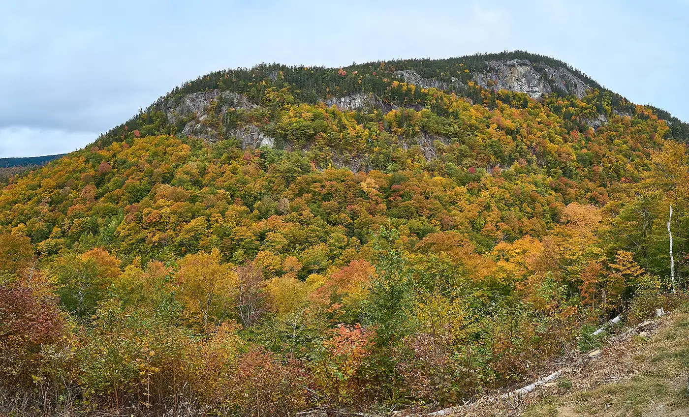
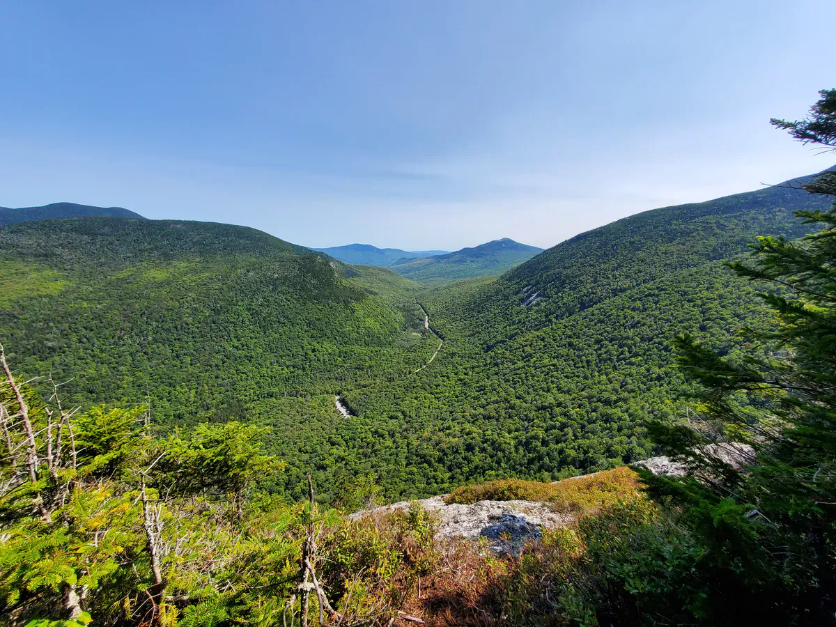
The Caribou-Speckled Mountain Wilderness is a 12,000-acre federally designated wilderness that straddles the Maine side of the White Mountains. The terrain here is steep and wooded, with Caribou Mountain and Speckled Mountain rising above the drainage that Morrison Brook cuts through. The wilderness designation means no roads, no motorized use, and a forest that is allowed to evolve on its own terms.
This is a wilderness hike inside the White Mountain National Forest. Cell service is unreliable, the trail is rugged in spots, and there are no facilities at the trailhead. Bring a map, water, and rain gear, and tell someone where you are going.
The Falls
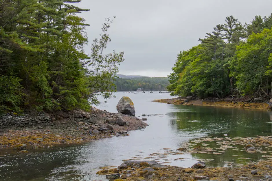
Kees Falls drops through a mossy, lichen-covered channel on Morrison Brook. The rock is dark, the forest is dense mixed hardwood and softwood, and the pool at the base is small and shaded. In spring and early summer, snowmelt and rain give the falls their strongest flow. By late summer, the volume drops but the falls still run.
The setting is what makes Kees Falls special. On most days you will not share this waterfall with anyone. The sound of the brook, the smell of the forest, and the quiet of the wilderness make the walk in worth it. This is one of those places where the journey is as much the point as the destination.
If you are making the trip, consider continuing up the Caribou Trail to the summit of Caribou Mountain. The full loop with Mud Brook Trail is a classic Evans Notch day hike, with open ledges and long views across the White Mountains. The falls are a natural stop on the way up or down.
Access and Navigation
The Caribou Trail begins at a marked trailhead on Route 113 in Evans Notch, between Gilead and Stow. Route 113 is the scenic road that runs through the notch, closed in winter but open from roughly May through November. The trailhead has a small parking area, a sign, and a trail register.
From the trailhead, the Caribou Trail climbs gradually along Morrison Brook. The hike to Kees Falls is about 2.1 miles one-way, with roughly 150 feet of elevation gain to the falls themselves. The trail is well marked but can be rooty, rocky, and muddy in places, so sturdy hiking boots are recommended. A packable rain jacket is smart too, since weather in the notch shifts quickly and there is no shelter on the trail.
Route 113 closes in winter and usually reopens by Memorial Day weekend. Call the White Mountain National Forest ranger district in Bethel for current road status before your trip, especially in late spring or late fall.
When to Go
Spring
Strong water flow once Route 113 opens (usually late May). Black flies are brutal in late May and June.
Summer
Route 113 open, trail dry, and long daylight. Bugs ease by August. Good swimming conditions at mountain pools.
Fall
Cooler weather, no bugs, and beautiful hardwood color through the notch.
Winter
Route 113 closed through Evans Notch. Trail unmaintained and buried in snow.
July and August offer the most reliable conditions. The trail is dry, the days are long, and the bugs have tapered off by late July. September is excellent, with cooler temperatures, no insects, and the first hints of foliage color. Spring has the best water flow but buggy conditions and a late start once Route 113 opens.
Packing List
Kees Falls Backcountry Trip
- Hiking boots with ankle support
- Topographic map and compass (or GPS with offline maps)
- Water filter or purification
- Bug spray and head net (June-July)
- Rain jacket and extra layer
- Lunch, snacks, and extra food
- First aid kit
- Headlamp (in case the hike takes longer than expected)
- Full tank of gas before leaving pavement
Getting There
The trailhead sits on Route 113 in Evans Notch, the scenic road that runs between Gilead, Maine and Stow, Maine through the White Mountain National Forest. Bethel is the nearest town with reliable services and is the best place to fuel up and grab supplies before heading south into the notch.
From Route 113, look for the marked Caribou Trail trailhead. It has a small gravel parking area, a trail sign, and a trail register. There are no restrooms or other facilities.
From the parking area, the Caribou Trail climbs gradually along Morrison Brook. The hike to Kees Falls is about 2.1 miles one-way with roughly 150 feet of elevation gain. GPS coordinates for the falls are approximately 44.4000, -70.9900.
Route 113 through Evans Notch is closed in winter and typically reopens by Memorial Day weekend. Call the White Mountain National Forest ranger district in Bethel for current road status if you are visiting in late spring or late fall. Cell service is unreliable throughout the notch, so download offline maps before you leave pavement.
FAQ
How do I get to Kees Falls?
The Caribou Trail starts on Route 113 in Evans Notch, between Gilead and Stow. From the trailhead, it is about 2.1 miles of hiking along Morrison Brook to reach the falls. Route 113 is closed in winter and typically reopens by late May.
Is there cell service near Kees Falls?
Cell service in Evans Notch is unreliable and often non-existent on the trail. Do not plan on making calls from the falls. Bring a map or downloaded offline map.
Can I swim at Kees Falls?
The pool at the base is small and shallow. This is not a swimming destination. The water is very cold even in summer.
How hard is the hike to Kees Falls?
The hike is about 2.1 miles one-way with around 150 feet of elevation gain to the falls. The trail is rugged in spots with roots and rocks, but the grade is moderate. Allow 2 to 3 hours for the round trip.
Can I continue past the falls?
Yes. The Caribou Trail continues up toward Caribou Mountain, and connects with Mud Brook Trail for a classic loop over the summit. Many hikers do Kees Falls as part of the full loop rather than a standalone trip.