175,000 Acres of Open Forest
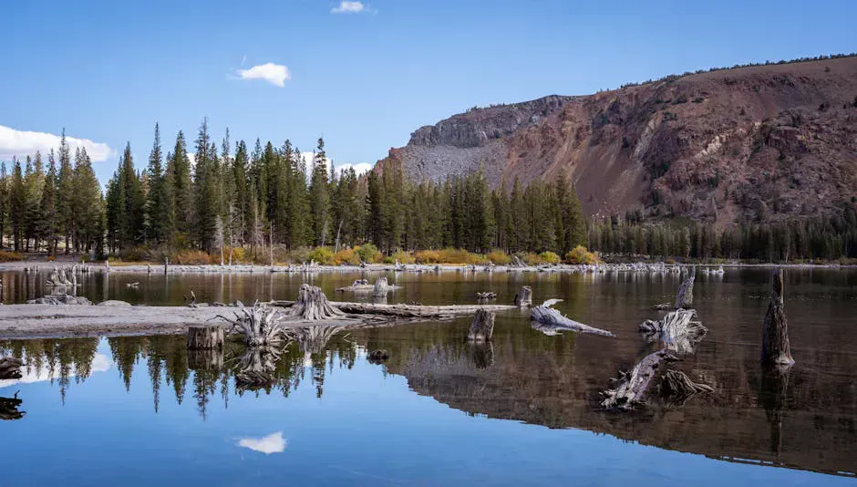
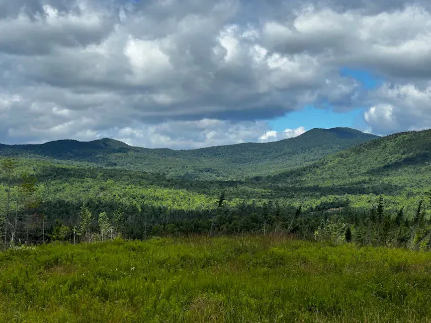
The KI Jo-Mary Multiple Use Forest is one of the largest private recreation areas in the eastern United States. Covering roughly 175,000 acres between Millinocket, Greenville, and Brownville, it is commercial timberland that has been open to the public for decades. You pay a gate fee, follow the rules, and get access to over 60 backcountry campsites, dozens of lakes and ponds, hundreds of miles of logging roads, and some of the best remote fishing, paddling, and hunting in Maine.
This is not a park. There are no rangers, no visitor centers, and no marked hiking trails in most of the forest. The roads are active logging roads shared with loaded trucks. The campsites are primitive. The reward is access to an enormous stretch of northern Maine backcountry at a fraction of the cost and regulation of state or federal land.
All visitors must stop at a gatehouse checkpoint and pay the day use fee ($10/day), even if not camping. Camping is $15/night plus the day use fee. The gates have set hours, typically opening at 6 AM. Bring cash or check. Gates accept limited payment methods. Call the Jo-Mary checkpoint at 207-723-8944 for current hours and conditions.
Camping
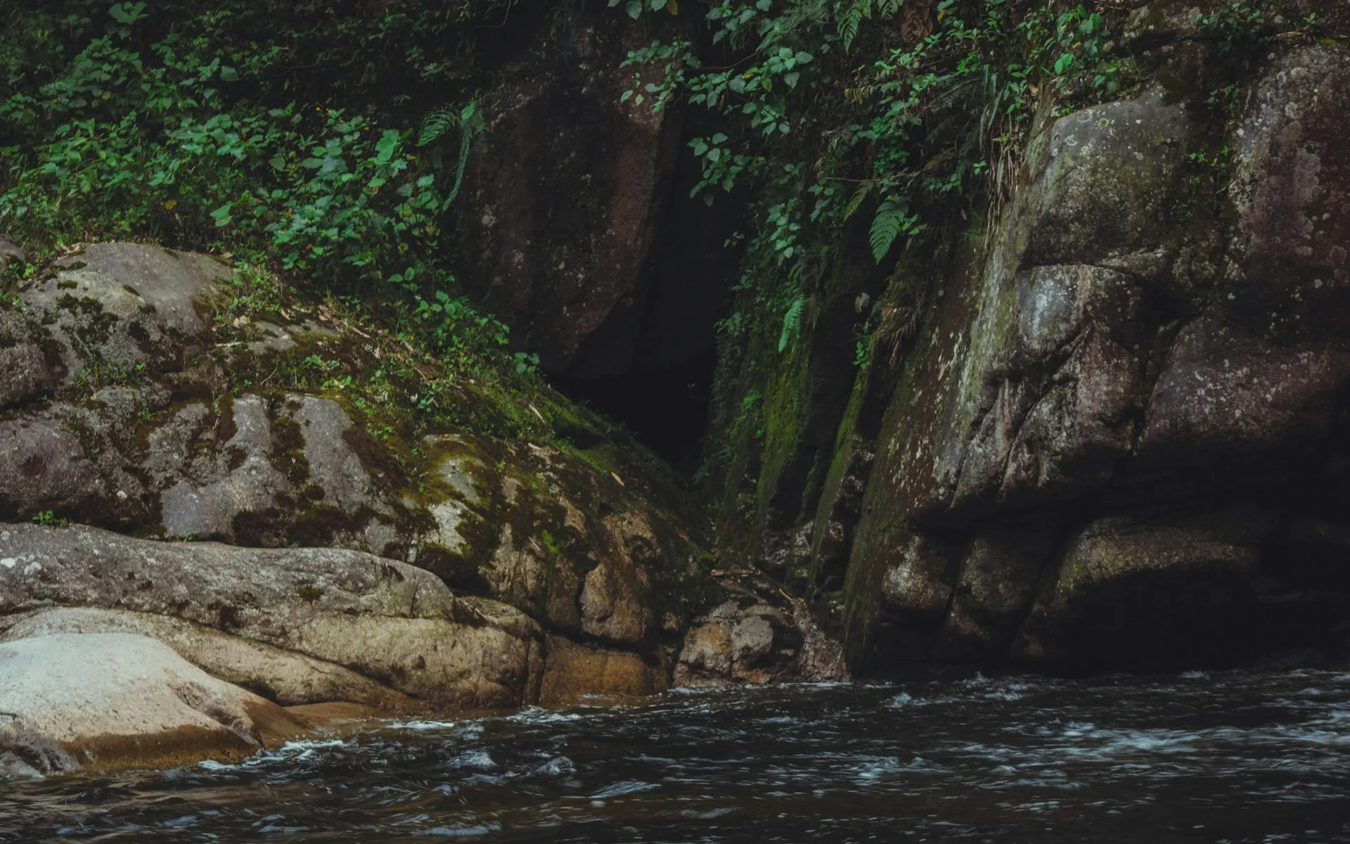
The forest has over 60 authorized campsites scattered along lakes, ponds, and streams. Each site has a fire ring, picnic table, and privy. Sites are first-come, first-served with no reservations. They are well-spaced and you will usually have significant buffer between you and the nearest neighbor. There is no treated water out here, so bring a dependable water filter for the lakes and streams.
The Jo-Mary Lake Campground is the most developed area, with sites along the shore of Upper Jo-Mary Lake. It has a boat launch and is a popular base for fishing and canoeing. More remote sites on smaller ponds offer greater solitude.
Ask at the gatehouse about which sites are occupied. The gate attendants know who is where and can steer you toward quieter areas. Weekdays are significantly less crowded than weekends, especially in July and August.
Fishing and Paddling
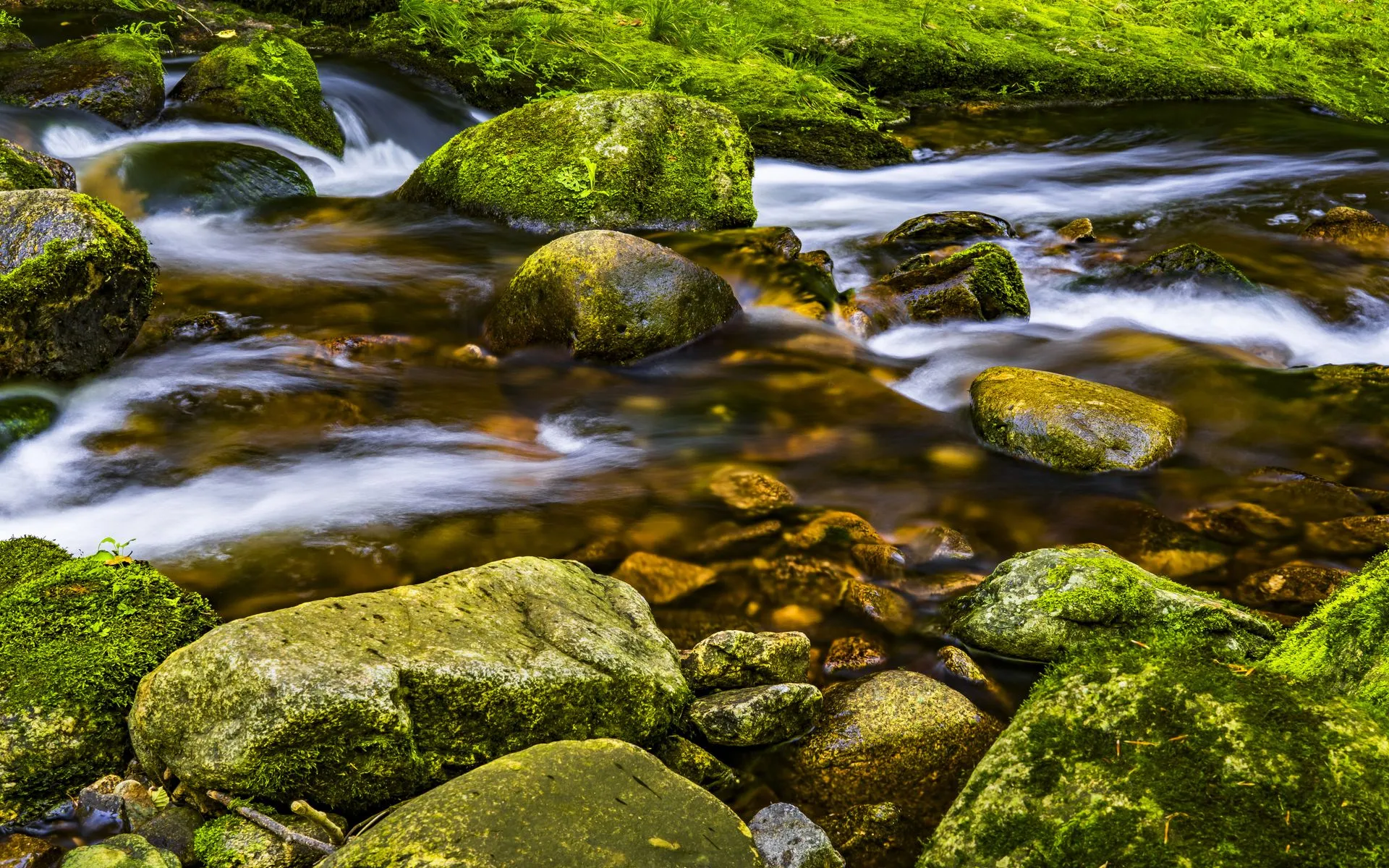
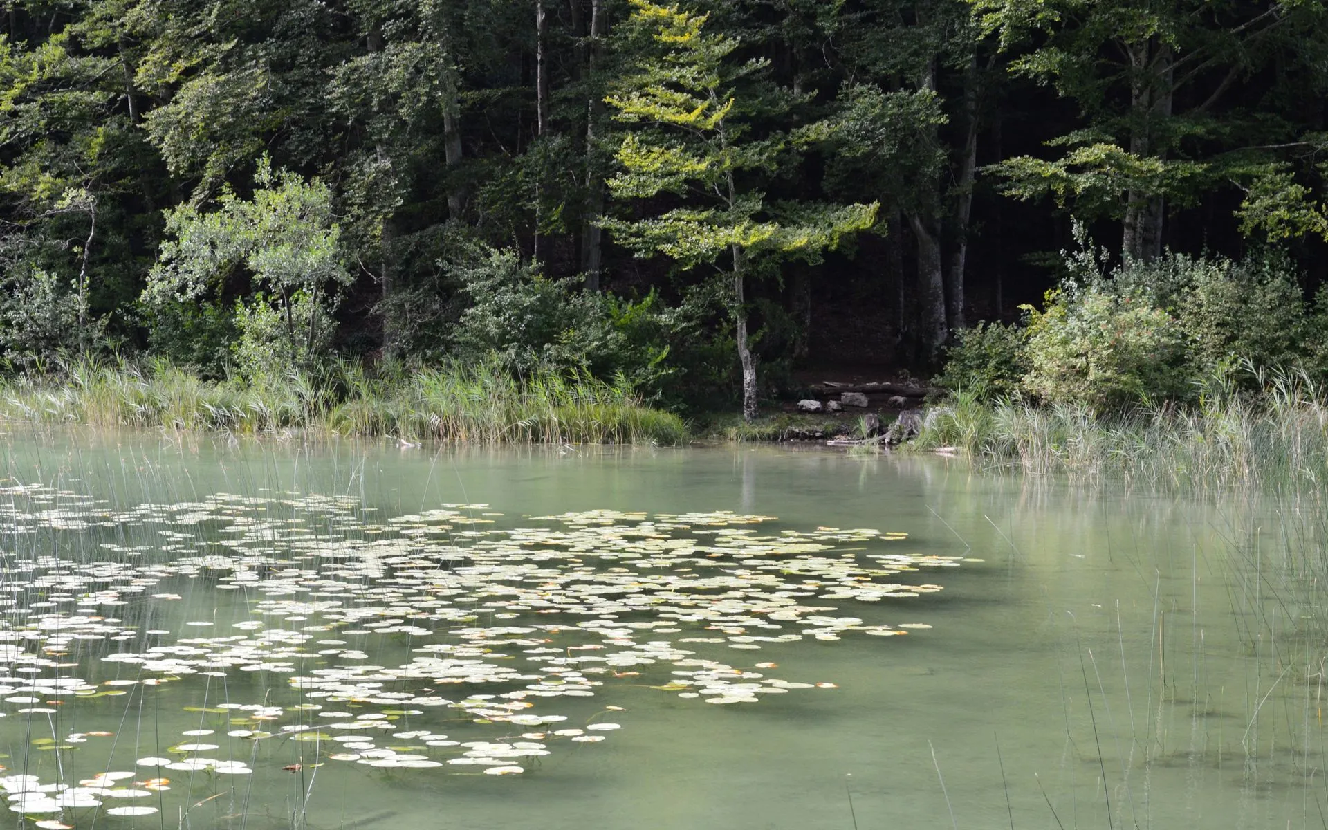
The fishing in the Jo-Mary forest is excellent. Brook trout, landlocked salmon, smallmouth bass, and lake trout populate the lakes and streams. Jo-Mary Lake, Cooper Brook, and the East Branch of the Pleasant River are all productive waters. Bring a Maine fishing license, solid fishing gear, and check current regulations for specific water bodies.
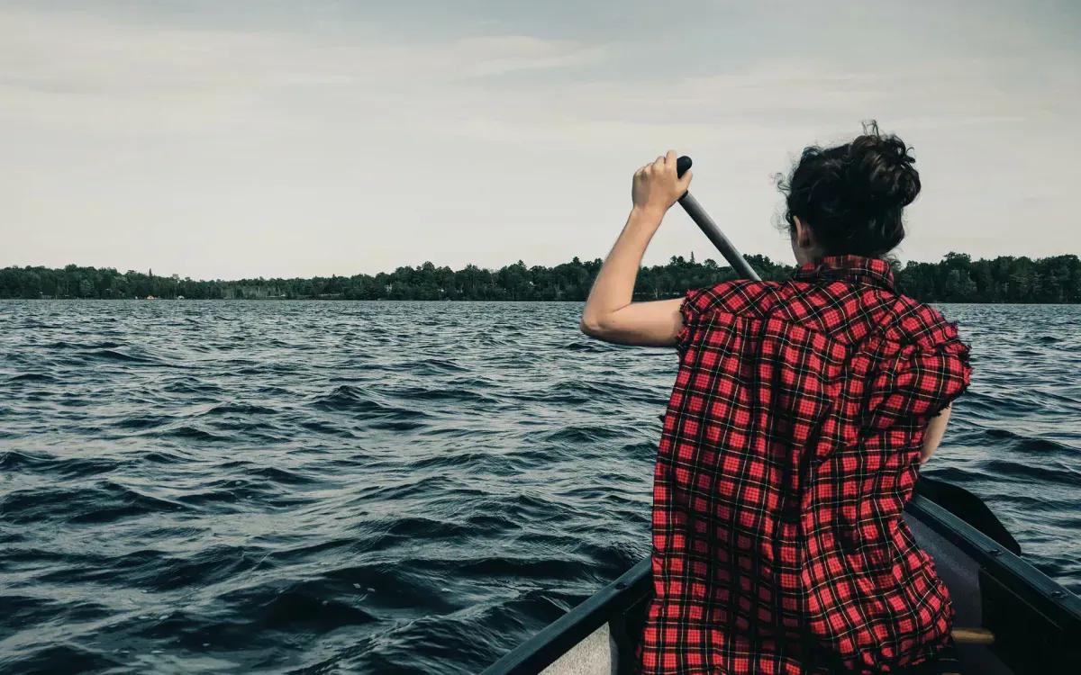
For paddling, the interconnected lakes and streams offer multi-day canoe routes through remote forest. The Jo-Mary chain of lakes can be paddled with short portages, and the quieter ponds are ideal for a day of fishing from a canoe.
Gulf Hagas, sometimes called the Grand Canyon of Maine, is accessed through the Jo-Mary forest. The 8-mile loop trail follows a spectacular slate canyon with waterfalls on the East Branch of the Pleasant River. It is the single best day hike accessible from within the forest.
Getting There
The main access points are the Jo-Mary checkpoint on the Millinocket-Greenville road (also called the Jo-Mary Road) and the Henderson Brook checkpoint from the Brownville side. Roads within the forest are unpaved logging roads. Some are well-maintained gravel; others are rough. A vehicle with decent clearance is recommended, though passenger cars can handle the main routes in dry conditions.
Stock up on supplies before entering. Millinocket, Greenville, and Brownville Junction have gas and groceries. There is nothing inside the forest.
These are active logging roads. Loaded trucks have the right of way, always. Pull over and let them pass. Drive with headlights on at all times. Do not park on the road. Visibility on corners is limited. This is not a national park road. Treat it like a worksite.
When to Go
Spring
Roads muddy through late May. Blackflies emerge. Brook trout fishing is excellent as soon as ice clears.
Summer
Best camping and paddling conditions. Warmest water. July and August weekends can fill popular sites.
Fall
Foliage, hunting season, cool nights, no bugs. September and October are the prime months.
Winter
Gates typically closed. Snowmobile access only on designated trails. Not practical for camping.
Packing List
Jo-Mary Forest Camping
- Tent and sleeping gear
- Camp stove and fuel (fire rings at sites, but a stove is more reliable)
- Water filter or purification (no treated water sources)
- Cooler with food and ice
- Cash for gate fees
- Maine fishing license
- Canoe or kayak (optional but recommended)
- Bug spray and head net (essential May through July)
- Headlamp and extra batteries
- First aid kit
- Paper map of the forest (available at gatehouse)
- Full tank of gas before entering
FAQ
Do I need a reservation for Jo-Mary campsites?
No. All sites are first-come, first-served. Arrive early on summer weekends for the best selection. Weekdays are much quieter.
Is the Jo-Mary forest part of Baxter State Park?
No. The Jo-Mary forest is privately owned commercial timberland managed by North Maine Woods, Inc. It borders Baxter State Park to the north but is a separate entity with its own rules and fees.
Can I access Gulf Hagas from the Jo-Mary forest?
Yes. The Gulf Hagas trailhead is within the forest, accessed via the Head of the Gulf Road. You will need to pay the Jo-Mary gate fee to reach it. The 8-mile loop trail through the slate canyon is outstanding.
Is there cell service in the Jo-Mary forest?
No. There is no reliable cell service anywhere within the forest. Plan accordingly and leave your itinerary with someone before entering.
Can I bring a dog?
Yes. Dogs are allowed but must be under control at all times. Keep them leashed at campsites and respect other campers.