

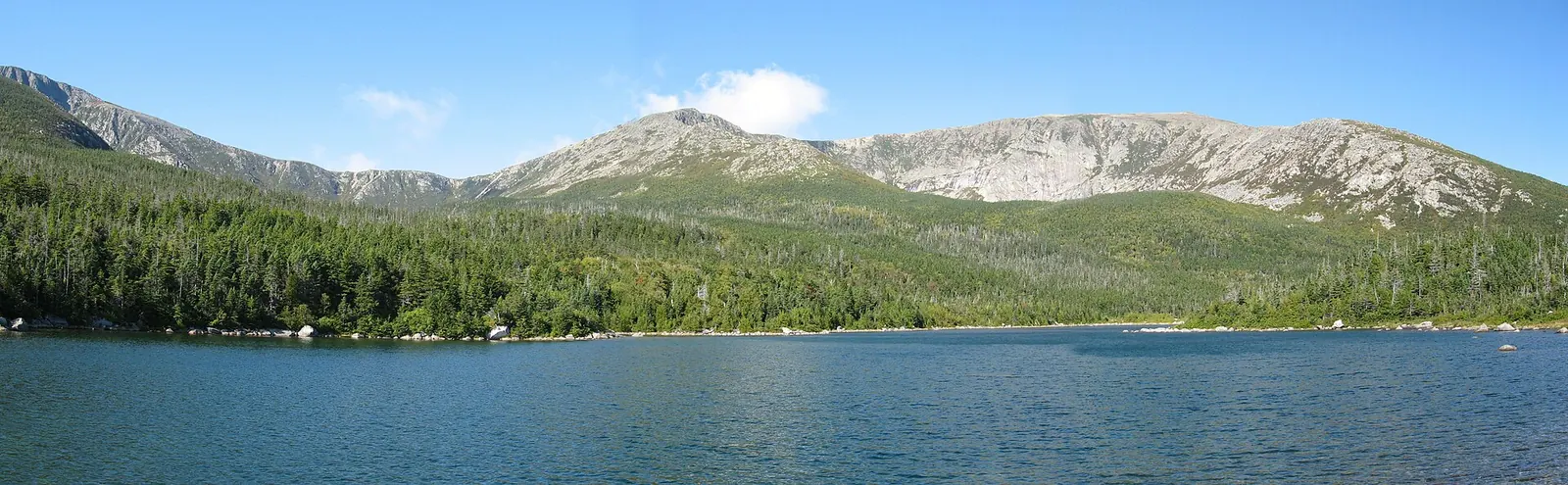
Before you pick a date, pick a trail. Every route up Katahdin ends at the same place: Baxter Peak, 5,268 feet, the northern end of the Appalachian Trail. But the five that get you there are wildly different days out. One is a long, grinding boulder climb with iron rungs. One is short and steep and exposed. Two more start with a three-mile walk just to reach the base of the real climb. And one of them, the Knife Edge, is a three-foot-wide rock arête with nothing but air on both sides. The mountain does not have a difficulty setting. The trail you choose is the setting.
So skip Katahdin if you want a casual day hike, if the forecast is bad, or if anyone in your group is unsure on steep rock and exposure. This is a 4,000-foot, eight-to-twelve-hour effort where the weather turns fast and rescue is slow. If that does not scare you off, here is how to choose the right way up.
Which Katahdin trail should you take?
Here is the whole decision on one screen. Every distance in the “to summit” column is one-way, so double it (or read the round-trip column) for the real day.
| Route | Trailhead (approach) | To summit, one-way | Full day, round-trip | The catch |
|---|---|---|---|---|
| Hunt Trail (AT) | Katahdin Stream | 5.2 mi | 10.4 mi out-and-back | Longest, but the most straightforward line up. Hunt Spur boulders and iron rungs. |
| Abol Trail | Abol Campground | 4.4 mi (3.4 mi Abol + 1 mi Hunt) | about 8.8 mi out-and-back | Shortest to the summit and the steepest. Rebuilt after a rockslide; exposed, water unreliable. |
| Saddle Trail | Chimney Pond (3.3 mi in from Roaring Brook ) | 2.2 mi from Chimney Pond / 5.5 mi from Roaring Brook | about 11 mi round-trip from Roaring Brook | The gentlest final pitch, but you pay for it with the long Chimney Pond approach. |
| Cathedral Trail | Chimney Pond | about 1.5 mi | part of a Chimney Pond loop | A near-direct boulder climb. The park recommends going up it, not down. |
| Helon Taylor + Knife Edge | Roaring Brook | 3.2 mi to Pamola, then 1.1 mi across the Knife Edge | about 9.8 mi as the classic loop | The Knife Edge . Spectacular, and there is no bailout once you commit. |
The short version: most first-timers should take the Hunt Trail or, if they want the shortest climb and can handle steep exposed rock, Abol. Anyone who wants the easiest grade to the top should go in to Chimney Pond and up the Saddle. The Knife Edge is optional and should stay optional until you have seen the mountain once.
Hunt vs Abol vs the Chimney Pond routes
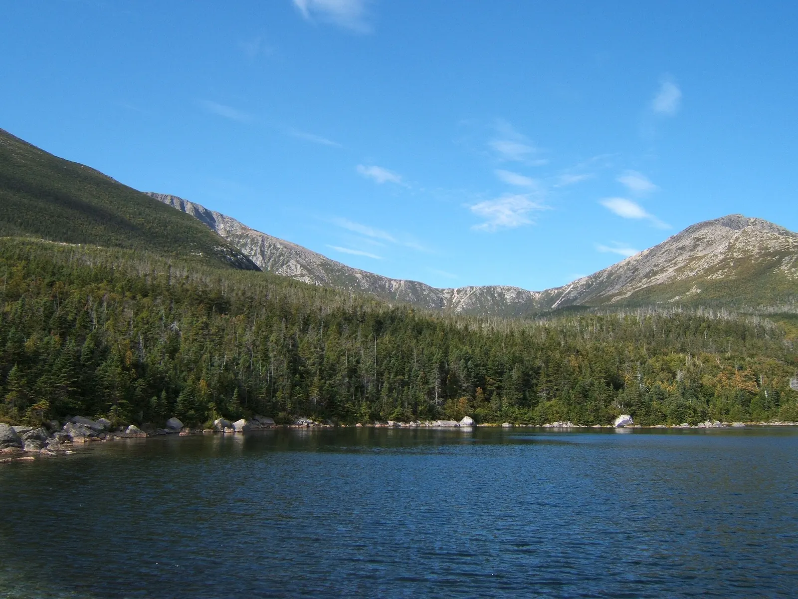
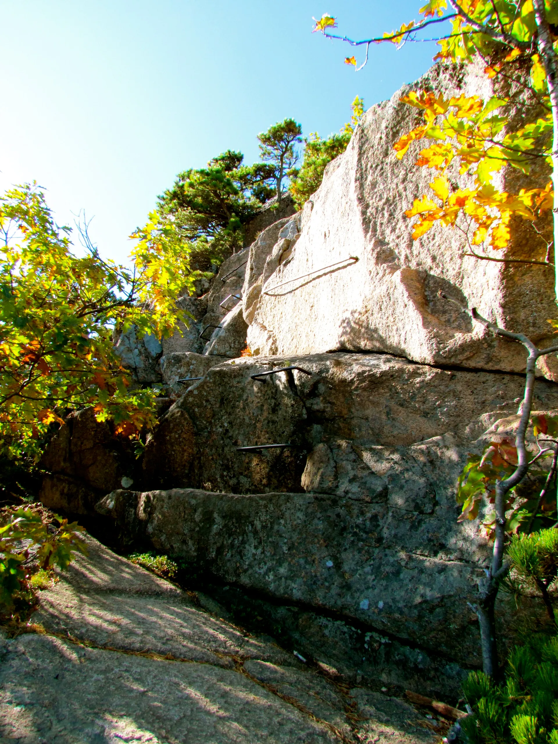
The Hunt Trail is the classic and the one Appalachian Trail thru-hikers finish on. It leaves Katahdin Stream Campground and climbs about 4,188 feet over 5.2 miles, so it is the longest route but not the most technical: the grade builds instead of spiking. The famous stretch is Hunt Spur, a field of car-sized granite boulders where the trail uses iron rungs and rebar handholds bolted into the rock. Above it you break onto the Tableland, a strange flat alpine plateau, and walk the last mile to Baxter Peak. Ten and a half miles round-trip. Plan on a full day.
The Abol Trail is the shortcut, and it earns the word honestly: the Abol Trail proper runs 3.4 miles to the Tableland, where it joins the Hunt Trail for the last mile to the top, about 4.4 miles one-way to Baxter Peak, per Baxter State Park. That still makes it the shortest line to the summit and, because it climbs the same 4,000-odd feet in less distance, the steepest. It was rebuilt in 2015 and 2016 after a rockslide tore up the old route, and the upper section is loose, exposed, and hot with no reliable water. Strong hikers love it for the efficiency. It is not the place to learn.
The Chimney Pond routes are a different kind of day. You do not start climbing Katahdin. You start walking to it. The Chimney Pond Trail runs 3.3 miles and gains about 1,425 feet from Roaring Brook up into the South Basin, a glacial cirque ringed by the mountain’s headwall, with Chimney Pond at the bottom. From there you choose your climb:
- Saddle Trail: 2.2 miles from Chimney Pond up a slide to the notch between Baxter Peak and Hamlin, then along the rim to the top. It is the gentlest grade to the summit, which is exactly why people pick it. Total from Roaring Brook: 5.5 miles one-way, roughly 11 miles for the day.
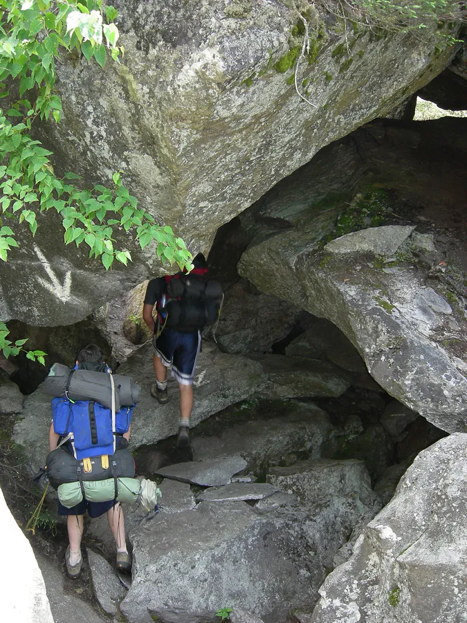
- Cathedral Trail: about 1.5 miles straight up a spine of enormous boulders. It is a hand-and-foot climb, faster and far more direct than the Saddle. Baxter State Park recommends hiking Cathedral up and descending by an easier trail, because down-climbing that boulder field is where people get hurt. Treat that as a strong recommendation, and check the current sign at Chimney Pond before you decide.
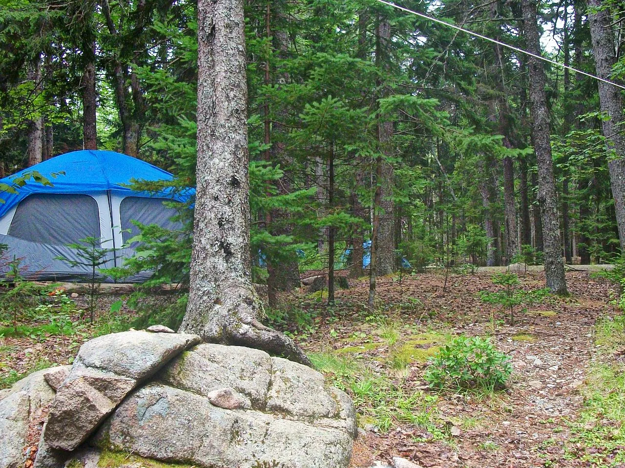
The single best way to do the Chimney Pond side is to book a night at Chimney Pond Campground and split the climb over two days: hike in, camp in the basin, and summit the next morning with fresh legs and no drive-and-gate-clock pressure. It is also the only way to reliably beat weather, since you are already at the base when the trails open.
If reaching Baxter Peak is not the point, and you want the alpine scenery without the crowds or the exposure, consider Hamlin Peak (4,756 feet, Katahdin’s second summit, usually reached by the Hamlin Ridge trail from Chimney Pond) or the shorter, steep scramble up The Owl across the valley from the Hunt Trail. Both are real mountains with a fraction of the traffic, and Hamlin counts among the Maine 4,000-footers if you are collecting them.
The Knife Edge, and how to avoid it
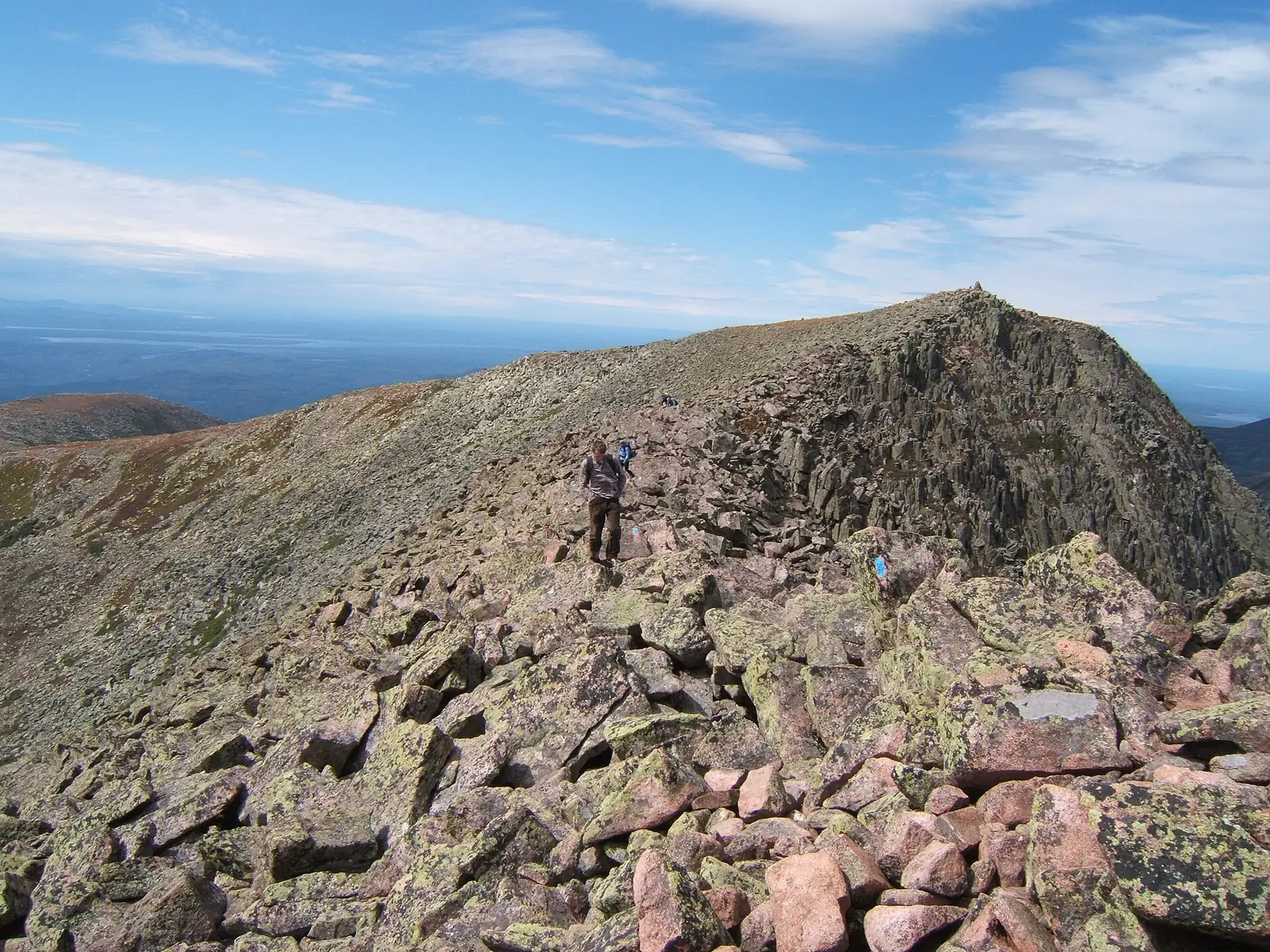
The Knife Edge is the mile-plus of ridgeline between Pamola Peak and Baxter Peak, and in places it narrows to about three feet wide with a thousand-foot drop on either side. The classic way to hit it is the loop up Helon Taylor (3.2 miles from Roaring Brook to Pamola), across the Knife Edge (1.1 miles) to Baxter Peak, and down the Saddle, roughly a ten-mile day that traverses the whole rim.
Here is the part that matters: once you start across the Knife Edge, you are committed. There is no side trail, no bailout, no way to leave the ridge if the weather turns or your nerve does. Park guidance is blunt about not attempting to leave it. So the honest answer to “do I have to do the Knife Edge?” is no. Every summit route above reaches Baxter Peak without it, and you can even go up Helon Taylor to Pamola, look at the traverse, and turn around. Save it for a clear, calm day when you already know the mountain.
Do not start across the Knife Edge in wind, wet rock, or an incoming storm, and do not start it late in the day. There is no escape route off the ridge once you are on it. If the weather looks wrong at Pamola, turn back the way you came. That decision is free.
One trail note that changes year to year: the Dudley Trail (a steep connector between Pamola and Chimney Pond) has been through a multi-year closure and reopening, and other trails cycle in and out of maintenance closures too. Do not assume any given trail is open. Check Baxter State Park’s current trail conditions before you build a loop around it.
The 7 a.m. rule that catches people
Katahdin has a parking-reservation system, and it trips up more first-timers than the boulders do. To park at any of the three Katahdin trailheads (Katahdin Stream, Abol, or Roaring Brook), you need a Katahdin Trailhead Pass (KTP) tied to a specific trailhead and date. It is not the same thing as the fee to drive into the park, and it is not the same thing as a camping reservation. Three separate systems, three separate bookings.
The rule that ruins mornings: with a KTP, you must clear the Togue Pond Gatehouse by 7:00 a.m., or your reservation is cancelled and the spot is released. Baxter is a long drive from almost anywhere, the last stretch is slow dirt road, and there is no grace period. People roll up at 7:10 having driven three hours and get turned away. Leave absurdly early, and pad for the gravel.
A few more things worth knowing before you book:
- Reservations for the whole season open April 1, and summer weekend passes go fast.
- There is a limit of two KTP reservations per person per calendar month from June through October.
- All KTP sales are non-refundable and non-transferable. If the weather is bad, you eat it.
- A KTP is for day-hikers. If you are camping in the park the night before your climb, you do not need one; your campsite covers your access. That is one more reason the Chimney Pond overnight is such a good move.
The permits and fees (checked July 2026)
Fees and pass mechanics change, and Baxter posts its current fee schedule as an image on its own site, so treat these figures as a snapshot and confirm the live numbers before you pay:
- Katahdin Trailhead Pass: about $10 per pass, required to park at the three Katahdin trailheads. Reservations open April 1 for the season; limit two per person per calendar month (June–October); non-refundable. Not required in May. Book at reservation.baxterstatepark.org or by phone (207-723-5140).
- Park entrance (day-use vehicle): roughly $20 per day for non-Maine vehicles. Maine-registered vehicles enter free. A non-resident season pass runs around $50. Details on the Baxter fees page.
- Camping: a separate system again, on a rolling four-month booking window. Chimney Pond, Russell Pond, and backcountry sites are booked by phone, not online. Tent sites run about $38 per night. See our overview of camping in Baxter State Park.
- Day-use hours: the park is open for day use from 6:00 a.m. to 10:00 p.m.
Official sources: baxterstatepark.org/general-info, /rules-and-permits, and friendsofbaxter.org/katahdin. When in doubt, call the reservation office. The fee image and the trail conditions on the site are the last word.
When the trails actually open
Katahdin is not a year-round summit for casual hikers. Trails open progressively from late May into mid-June as the snow melts off the higher ground, and Chimney Pond Campground typically opens June 1. Most of the park’s camping season runs mid-May to mid-October. Because opening dates move with the snowpack every year, do not trust any “all trails open” claim you read online. Check Baxter State Park’s current trail status the week you go, and have a backup plan if the high routes are still closed.
Every morning the park posts a weather class for Katahdin, roughly around 8:15 a.m., graded Class 1 through 4 (plus “Black,” which means the mountain is closed to hikers). Rangers can and do turn people back. Build your plan around the possibility that the answer that morning is no.
What Katahdin asks of you
This is a big-mountain day dressed up as a Maine hike. Roughly 4,000 feet of gain, eight to twelve hours moving, above treeline for hours with no shelter, and weather that can go from sun to sleet while you are on the rock. The park’s “forever wild” ethos (Governor Percival Baxter’s condition when he gave the mountain to the state) means minimal development and minimal hand-holding. Search and rescue exists, but it is slow and far away.
Before you leave the trailhead
- A headlamp: required gear, even on a day hike, in case you are still out at dusk
- 2 to 3 liters of water per person (upper trails have no reliable source)
- Real layers and a wind shell, because it is colder and windier above treeline than in the lot
- Sturdy footwear with grip for wet granite and boulder scrambles
- The morning weather class, checked at the gate or ranger station before you start
- A turnaround time you actually honor
A few hard rules to plan around, quoted from Baxter’s regulations as they generally stand. Confirm the current wording on the park’s site:
- Children under 6 are not allowed above timberline. If you are hiking with young kids, the summit trails are off-limits; pick a valley walk instead.
- Pets are prohibited parkwide. No dogs, anywhere in the park. This one surprises people every year.
- Maximum party size is 12.
If all of that reads as a lot for a single day, it is. That is why plenty of people who love Maine mountains treat Katahdin as a trip, not a stop. For a gentler introduction to Maine’s high country, or a sense of how a day at Baxter compares to a day in the state’s other marquee park, see Acadia vs. Baxter State Park.
How long does it take to climb Katahdin?
Plan on a full day: most hikers take 8 to 12 hours round-trip to Baxter Peak, depending on the route and pace. The Hunt Trail (10.4 miles round-trip) and the loops that cross the Knife Edge run toward the longer end. Because the park requires you to clear the Togue Pond Gatehouse by 7 a.m. on a trailhead pass and posts a daily weather class, start early and give yourself margin.
What is the easiest way to climb Katahdin?
The gentlest grade to the summit is the Saddle Trail, but it is not short. You first hike the Chimney Pond Trail 3.3 miles in from Roaring Brook, then climb the Saddle 2.2 miles to Baxter Peak, about 5.5 miles one-way, or roughly 11 miles for the day. There is no truly easy way up Katahdin; every route gains about 4,000 feet. The 'easiest' is really the least technical, not the least tiring.
How much does it cost to climb Katahdin?
Budget for two separate fees plus any camping. A Katahdin Trailhead Pass to park at the trailheads is about $10, and the day-use vehicle entrance is roughly $20 for non-Maine vehicles (Maine-registered vehicles are free). Camping is booked and paid separately. Fees change, so confirm current amounts on Baxter State Park's site before you go.
Do you have to do the Knife Edge to summit Katahdin?
No. The Knife Edge is optional. Every summit route (Hunt, Abol, and the Saddle from Chimney Pond) reaches Baxter Peak without ever setting foot on it. The Knife Edge is a narrow, exposed ridge with no bailout once you commit, so save it for a clear, calm day after you already know the mountain, or skip it entirely.
When do the Katahdin trails open?
Trails open progressively from late May into mid-June as snow clears off the higher ground, and Chimney Pond Campground usually opens June 1. Opening dates shift every year with the snowpack, so check Baxter State Park's current trail status the week of your trip rather than trusting a fixed date.
Is Katahdin a hard hike for beginners?
It is a serious hike, not a beginner one. You are looking at roughly 4,000 feet of climbing, 8 to 12 hours out, hours above treeline with fast-changing weather, and steep boulder scrambling with iron rungs on most routes. A fit, prepared beginner can do the Hunt or Saddle on a good-weather day, but this is not a first-ever hike. Build up to it, and turn around if the weather or your legs say so.