








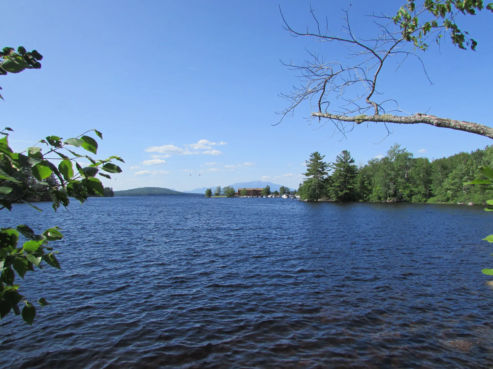

From Freshwater Rapids to Tidal Estuary
The Sheepscot River runs roughly 58 miles from its headwaters in Montville south through Whitefield and the historic village of Head Tide to the tidal estuary at Wiscasset and on to the Atlantic Ocean. It is two rivers in one: a modest freshwater stream with Class I-II riffles in its upper reaches, and a wide, beautiful tidal estuary in its lower half that opens into Sheepscot Bay.
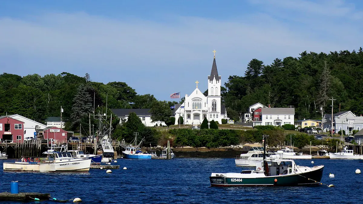
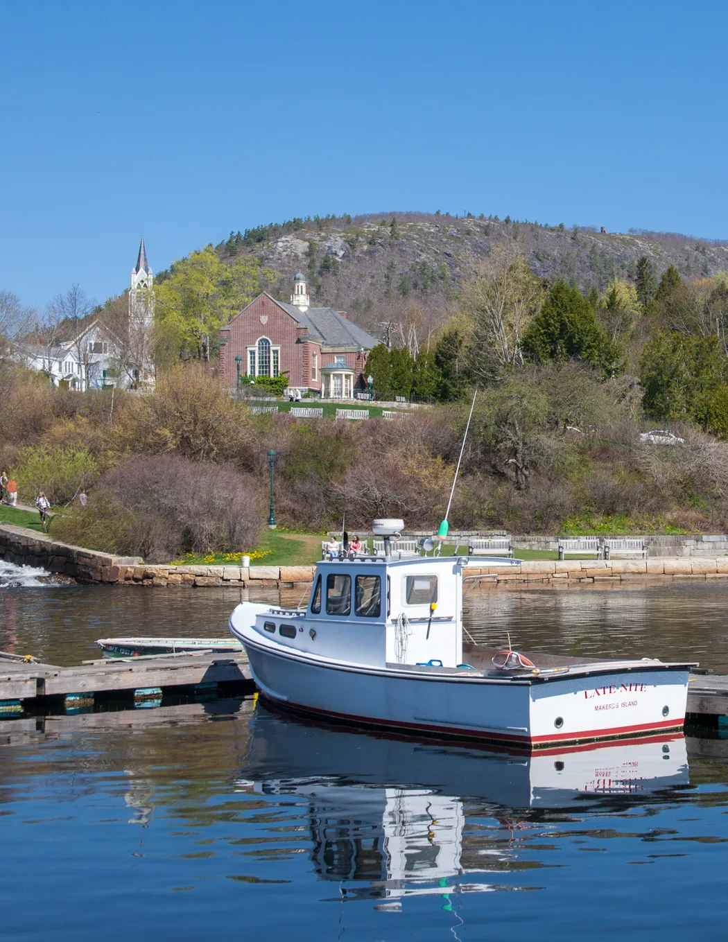
What brings people to the Sheepscot is the variety. Within a few miles you can paddle quiet freshwater pools, watch thousands of alewives thrashing upstream over a stone dam, drift through a tidal salt marsh, and pull into a working waterfront village for lunch. The river passes through quintessential Midcoast Maine landscape: rolling hay fields, old white farmhouses, church steeples, and rocky shoreline with osprey nests on every other channel marker.
The Sheepscot is one of the most accessible rivers in the Midcoast, with multiple launch points between Whitefield and Wiscasset. The paddling is easy, the scenery is pastoral, and the wildlife is abundant. It is an excellent half-day or full-day trip for paddlers of any ability level.
In late May and early June, hundreds of thousands of alewives migrate up the Sheepscot River from the ocean to spawn in upstream ponds. Head Tide, a small village in Alna, is the best viewing spot. The fish stack up below the old stone dam and leap through the fish ladder in a frenzy of silver flashing bodies. Bald eagles, ospreys, and great blue herons gather to feed on the run. It is one of the great wildlife spectacles in Maine and lasts about three weeks.
Upper River: Freshwater
The freshwater section of the Sheepscot from Whitefield downstream to Head Tide in Alna covers roughly 10 miles of gentle river with Class I-II riffles, sandy pools, and forested banks. This section is best paddled in spring and early summer when water levels are sufficient. By late summer, some shallow stretches may require dragging over gravel bars.
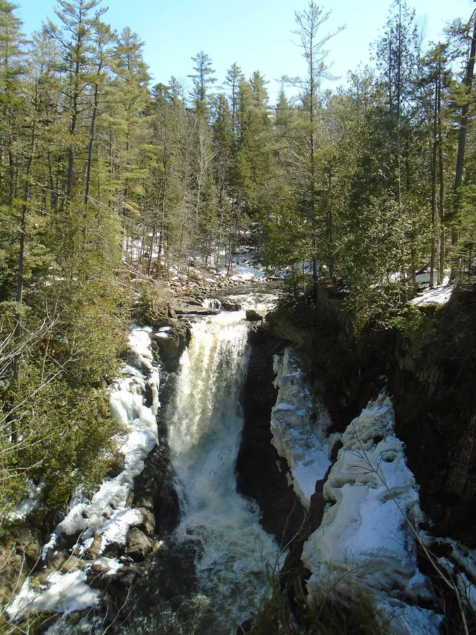
The river here is 20 to 40 feet wide with a rocky and sandy bottom. The riffles are minor, short drops over gravel that add texture without creating real difficulty. Between the riffles, long pools hold smallmouth bass, chain pickerel, and in the cooler upstream stretches, wild brook trout.
Head Tide is the dividing line between fresh and tidal water. The village has a restored stone dam, a fish ladder for the alewife run, and one of the oldest meeting houses in Maine. The Head Tide Dam is the traditional head of tide on the Sheepscot, the point where ocean tides stop influencing water levels.
Lower River: Tidal Estuary
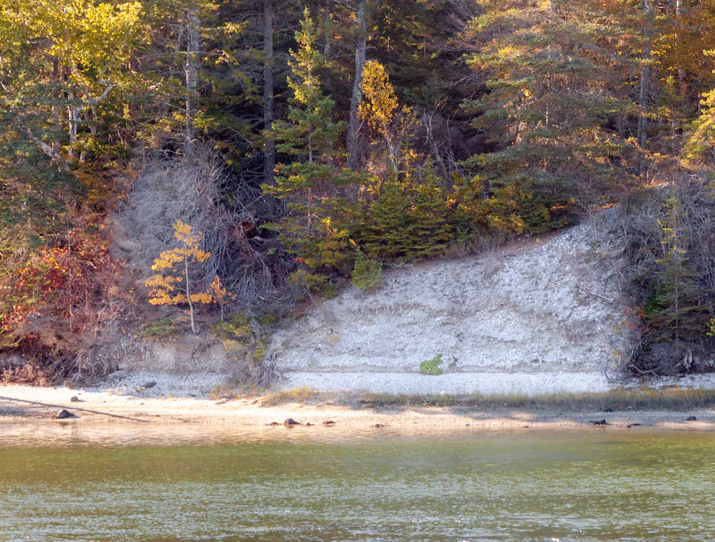
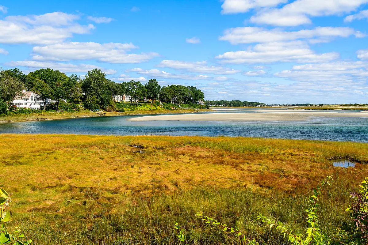
Below Head Tide, the Sheepscot widens into a tidal estuary that runs roughly 15 miles south to Wiscasset and beyond to Sheepscot Bay. This is a different paddling experience entirely. The river is wide (100 to 300 feet), influenced by ocean tides, and bordered by salt marshes, mudflats, and rocky shores.
Tidal paddling requires planning around the tide cycle. The ideal approach is to launch at high tide and paddle with the outgoing current, or launch at low tide and ride the incoming flow upstream. Fighting the tide on the Sheepscot estuary is a miserable slog. Check the tide charts for Wiscasset before launching, and bring kayaking gear suited to open tidal water for the lower estuary.
The estuary is rich in marine life. Harbor seals haul out on ledges at the river’s mouth. Ospreys nest on channel markers and dead trees along the banks. Great blue herons stalk the mudflats at low tide. Bald eagles are common year-round. In summer, you may see harbor porpoises in the lower estuary near the bay. A pair of binoculars is well worth packing for the seals, ospreys, and eagles.
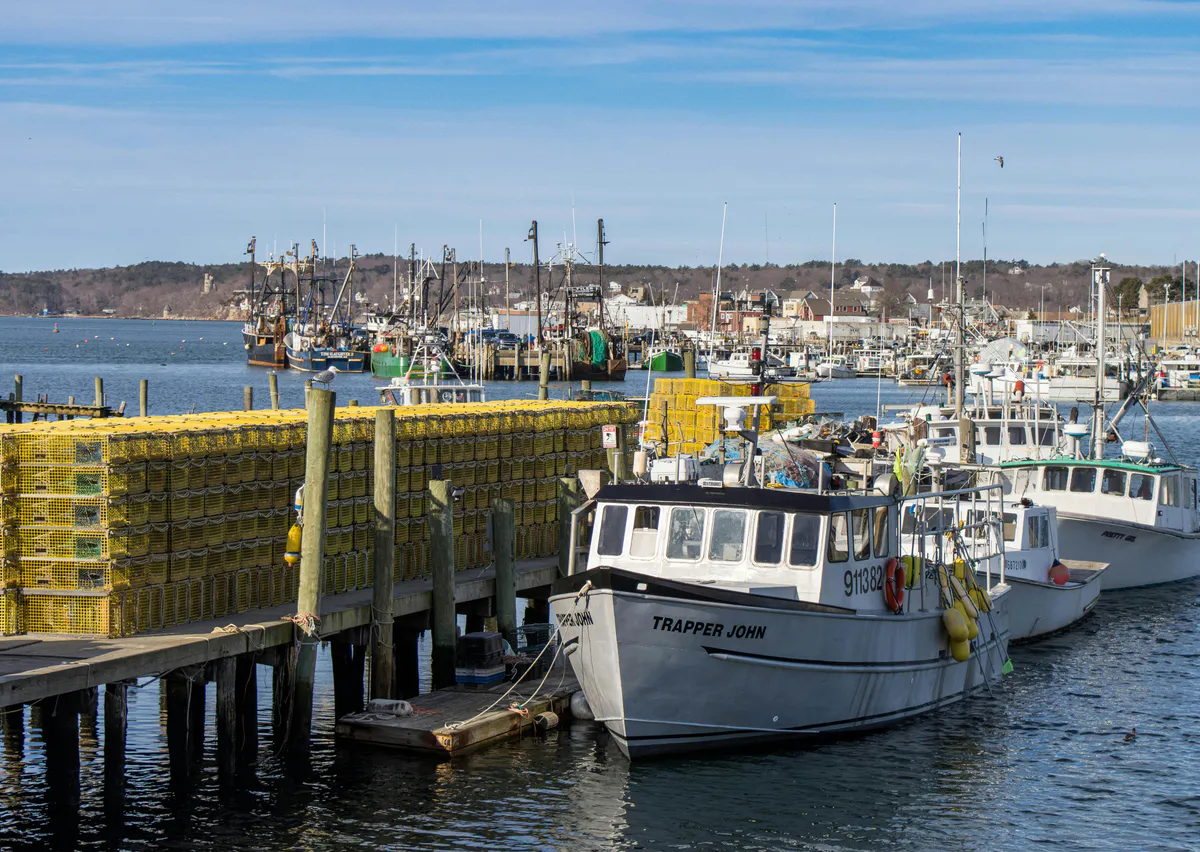
The tidal section of the Sheepscot has significant tidal currents, especially at constrictions near Wiscasset. Plan your paddle around the tide cycle. A flood tide can push you upstream faster than you can paddle downstream, and vice versa. Check tide charts for Wiscasset before launching. In the lower estuary, be aware of boat traffic from commercial lobster operations.
The Alewife Run
The spring alewife run on the Sheepscot is a biological event that has been happening for thousands of years. Alewives are a herring-like fish that spend their adult lives in the ocean and return to freshwater to spawn. The Sheepscot River’s run is one of the healthiest in Maine thanks to decades of dam removal and fish passage improvements.
Starting in late May, alewives begin entering the river from the ocean. By early June, the run reaches its peak, and the concentration of fish below the Head Tide Dam is staggering. Thousands of silver fish pack the pool below the dam, leaping and thrashing as they work through the fish ladder. Eagles and ospreys circle overhead, diving into the mass of fish. It is loud, chaotic, and mesmerizing.
Park at the Head Tide Church on Route 218 in Alna and walk down to the dam to watch the alewife run. The best viewing is from the bridge and the rocks downstream of the dam. Go early in the morning or late in the afternoon for the best light and the fewest spectators. The run peaks in the first two weeks of June.
When to Go
Spring
Alewife run in late May through June. High water in the upper river. Eagles and osprey feeding on the run. Best time to visit.
Summer
Warm tidal paddling. Upper river can be low. Osprey chicks visible in nests. Wiscasset village is busy with tourists.
Fall
Foliage along the river corridor. Striped bass fishing in the lower estuary. Quiet after Labor Day.
Winter
Tidal section is paddlable year-round for experienced cold-water paddlers. Upper river may freeze. Eagles concentrate along the estuary.
Late May and June are the prime season for the alewife run and the most dramatic wildlife viewing. Summer is excellent for tidal paddling and estuary exploration. Fall brings foliage and striped bass. Winter paddling on the tidal section is possible for experienced cold-water paddlers.
Packing List
Sheepscot River Paddle
- Kayak or canoe (sea kayak recommended for the tidal section)
- PFD/life jacket
- Tide chart for Wiscasset (essential for tidal paddling)
- Binoculars for eagle, osprey, and seal watching
- Camera (the alewife run is extraordinary to photograph)
- Sunscreen and hat
- Water and snacks
- Fishing rod (bass, pickerel, or stripers depending on section)
- Bug spray for the upper freshwater section
Getting There
From Portland, take Route 1 north to Wiscasset, about 75 minutes. For the tidal section, launch from the public boat ramp on Water Street in Wiscasset. For the freshwater section, take Route 218 north from Wiscasset to Head Tide or continue to Whitefield.
From Bangor, take Route 1A south to Route 3, then Route 17 to Route 218 south, about 1.5 hours to Head Tide.
GPS coordinates for Wiscasset boat launch: 44.0050, -69.6660. GPS coordinates for Head Tide Dam viewing: 44.1010, -69.6180.
FAQ
When is the alewife run on the Sheepscot?
The alewife run typically peaks in the first two weeks of June. Fish begin entering the river in late May and the run continues into mid-June. Head Tide Dam in Alna is the best viewing spot.
Do I need to worry about tides on the Sheepscot?
Yes, below Head Tide the river is tidal. Plan your paddle around the tide cycle using Wiscasset tide charts. Paddle with the current, not against it. The tidal range can be 8-10 feet, and currents at constrictions are strong.
Is the Sheepscot good for fishing?
Yes. The upper river holds smallmouth bass, chain pickerel, and wild brook trout. The tidal estuary has striped bass in summer and fall. During the alewife run, bass follow the baitfish upriver. A Maine fishing license is required.
Can I see seals on the Sheepscot?
Harbor seals are regularly seen in the lower estuary near the mouth of the river, especially on ledges exposed at low tide. Paddle the Wiscasset-to-Sheepscot Bay section for the best chance. Keep a respectful distance.
Is the Sheepscot River close to Portland?
Wiscasset is about 75 minutes from Portland on Route 1. It is one of the most accessible Midcoast rivers for paddlers coming from southern Maine.