Two Rivers With One Name
There are two Kennebecs, and knowing which one you mean saves a lot of confusion. The first is the twelve-mile whitewater gorge below Harris Station Dam, the dam-release Class IV-V stretch most people picture when they hear “Kennebec.” The second is the river itself: roughly 170 miles from the outlet of Moosehead Lake to the Gulf of Maine, most of it flatwater, quiet reaches, and tidal current that never see a raft. This page is about the whole river. If you specifically want the scheduled rapids, skip ahead to the Kennebec River Gorge guide, which covers that famous stretch in detail. It is a different trip with a different skill floor.
The full river is not a single paddle. It changes character every twenty or thirty miles, from expert whitewater to lake-flat impoundments to a tidal estuary where the current reverses twice a day. Where you put in decides what kind of day you get, so the honest first question is not “how do I paddle the Kennebec” but “which Kennebec.”
Reading the River by Section
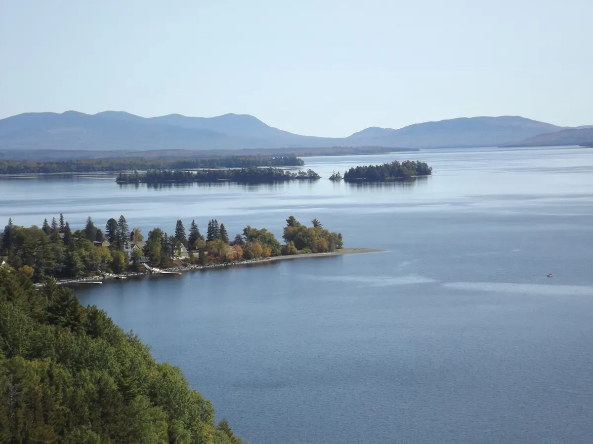
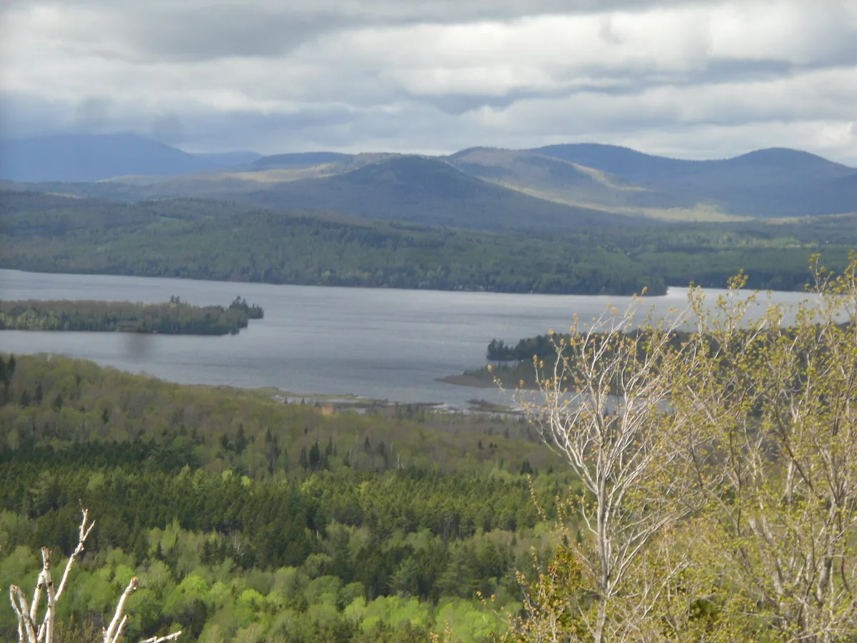
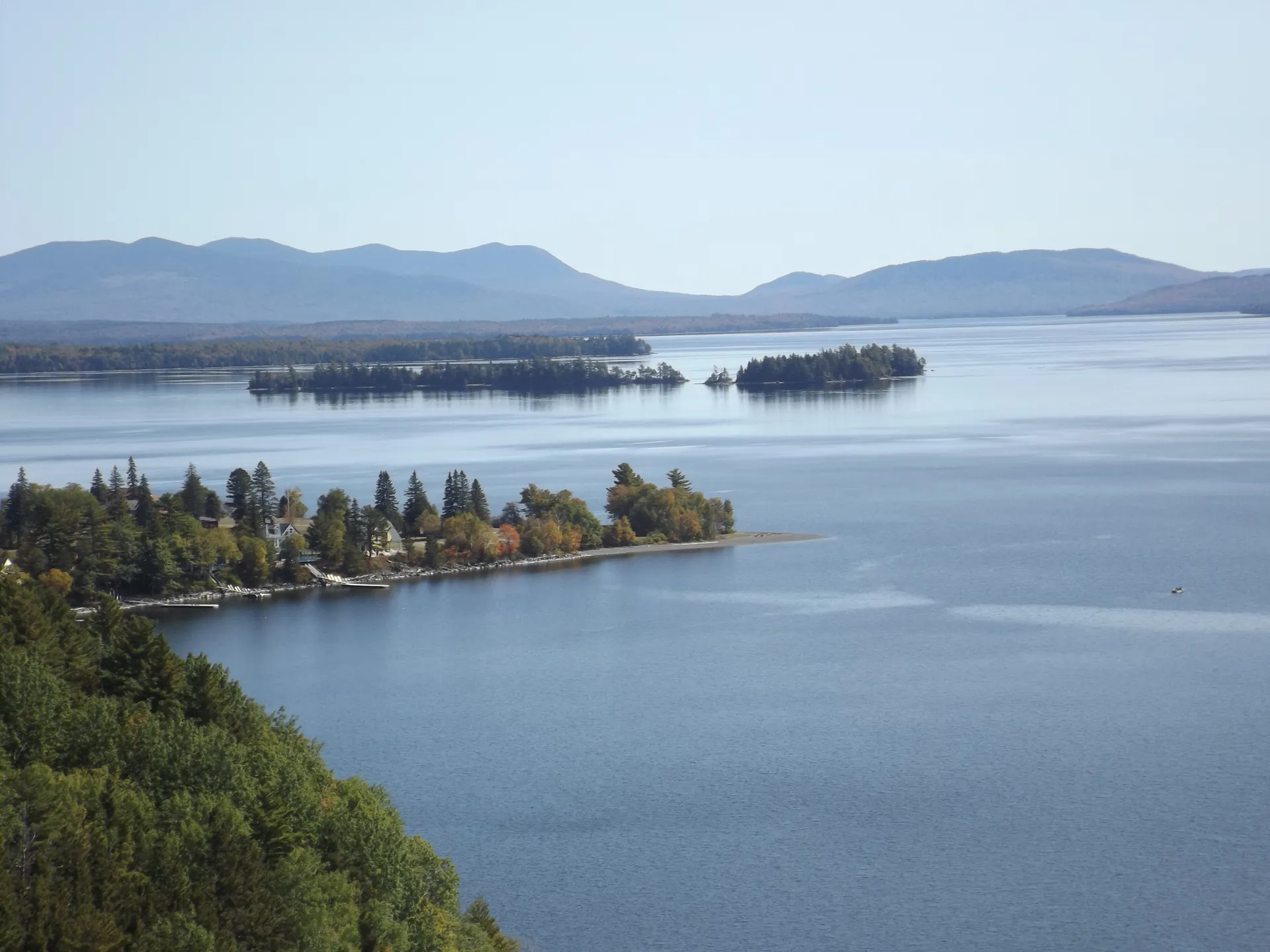
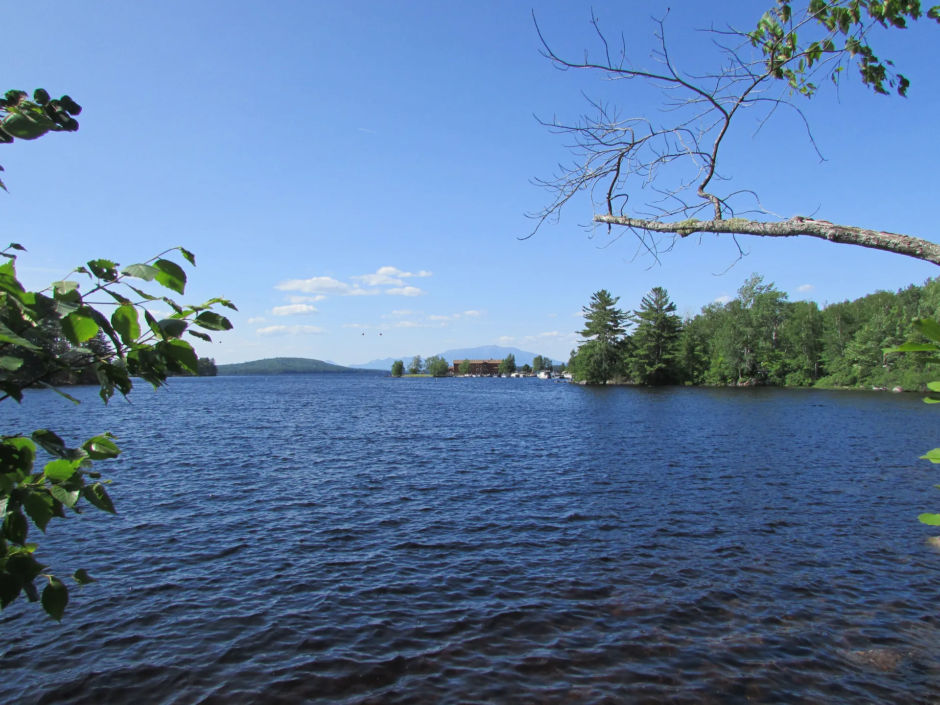
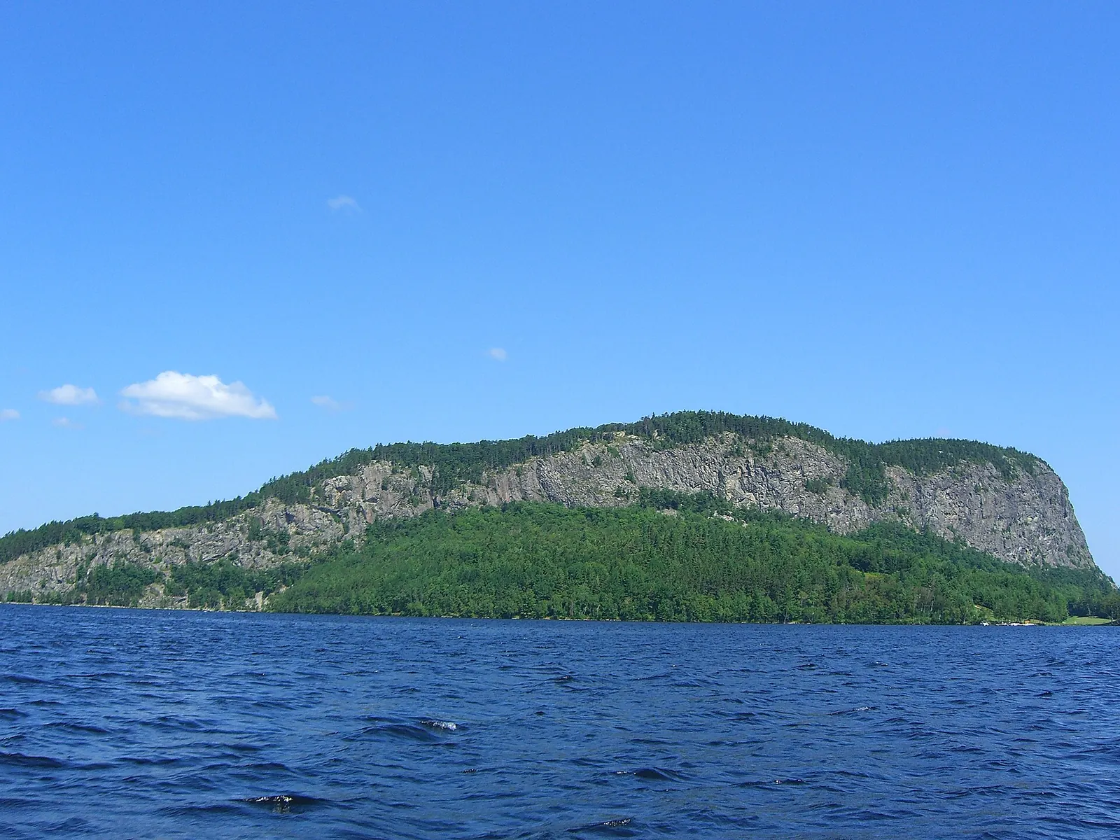
The river flows out of Moosehead Lake, Maine’s largest, through the East and West Outlets, then gathers behind Harris Station Dam at Indian Pond before it starts its run south. From there it sorts itself into distinct reaches.
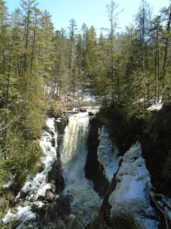
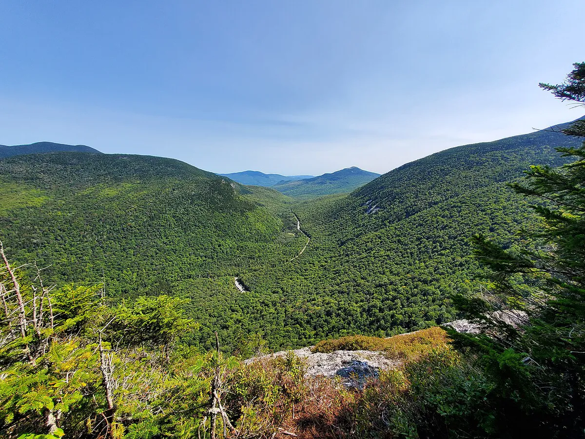
Harris Station to The Forks (the gorge). Below Harris Station the river drops into a steep granite gorge and delivers Maine’s marquee whitewater. This is scheduled dam-release water, roughly late May through September, run almost entirely by commercial outfitters based in The Forks. Full details, rapids, and outfitter logistics live on the gorge page.
Wyman Lake and Bingham (flatwater plus tailwater). Below The Forks, Wyman Dam backs the river up into a long, deep flatwater lake near Moscow and Bingham, the kind of water you paddle for scenery rather than adrenaline. Directly below the dam, the river runs cold and braided again, a tailwater that anglers prize.
Madison, Anson, and Skowhegan. Through the mill towns of central Maine the Kennebec alternates between quickwater riffles and slow town pools. It is working-river country, with old dams and bridges, and it rewards paddlers who like a river with history stitched into its banks.
Waterville to Augusta (the restored reach). This is the stretch that made the Kennebec famous a second time. With the Edwards Dam gone since 1999, the river runs free from Waterville down to Augusta, which sits at the head of tide. On a summer evening you can watch striped bass chase bait where a mill dam once stood.
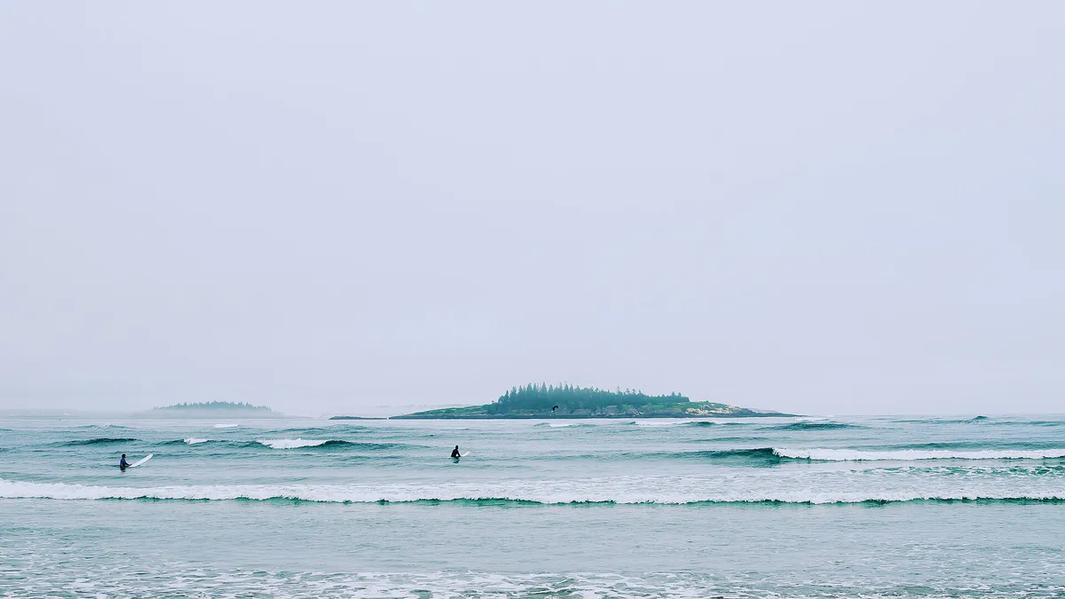
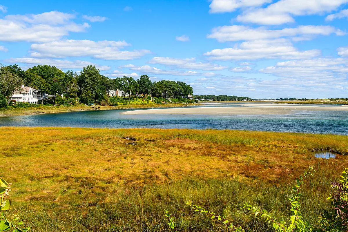
Merrymeeting Bay to Bath (tidal water). Below Augusta the Kennebec becomes tidal, then opens into Merrymeeting Bay, a broad freshwater tidal bay where it joins the Androscoggin. From there it narrows and runs past Bath, Maine’s shipbuilding city, and finally meets the Gulf of Maine at Popham below town. Bath is the lower-river city, not the end of the line; the river reaches the sea past it.
The Harris Station gorge is Class IV-V dam-release whitewater and should only be run with a licensed outfitter or by experienced Class V kayakers. Even on the flatwater and tailwater sections, dam-released water stays cold year-round and levels can change quickly when gates open upstream. Check outfitter and dam-release schedules, wear a PFD, and treat any reach below a dam as capable of rising without warning.
The Dams a Paddler Will Notice
The Kennebec is a heavily dammed river, and a paddler planning a through-trip has to portage or plan around the impoundments. These are the main ones you will run into, not a complete inventory:
- Harris Station Dam: Maine’s largest hydroelectric dam, at the head of the gorge, impounding Indian Pond.
- Wyman Dam: near Moscow and Bingham, creating the long flatwater of Wyman Lake and the cold tailwater below it.
- Williams Dam: in the Solon area, above the central-Maine towns.
- Shawmut Dam: near Fairfield and Waterville, one of the lower-river dams.
There are others downstream around Waterville, Winslow, and Skowhegan. The takeaway for trip planning is that the Kennebec is a river of sections separated by dams, which is exactly why the free-flowing reaches feel like such a gift.
A River That Got Its Fish Back
In 1999 the Edwards Dam in Augusta was removed, the first time federal regulators ordered a hydroelectric dam taken out against its owner’s wishes because the ecological cost outweighed the power it produced. The removal freed a roughly 17-mile stretch that had been impounded for more than 160 years. River herring, shad, sturgeon, and striped bass returned in numbers that surprised even the people who fought for it, and the Waterville-to-Augusta reach became one of the most-cited dam-removal success stories in the country.
The story is still being written downstream. The Nature Conservancy has recently reached an agreement to purchase the four lower-river dams, with ownership passing to a new nonprofit, the Kennebec River Restoration Trust, to manage a multi-year restoration that aims to reconnect hundreds of miles of habitat. Nothing changes overnight, and any dam work would play out over years, but the direction of travel on the lower Kennebec is toward a more open river.
Where to Put In
Public access is best on the central and lower river, where the state and towns maintain hand-carry and trailered launches. A few reliable put-ins, from upstream down:
- Waterville Boat Launch: off Exit 127, giving access downstream through Sidney toward Augusta.
- Sidney Boat Launch: off Exit 120 on West River Road, a natural midpoint for the roughly 18-mile Waterville-to-Augusta run.
- Mill Park Hand-Carry Launch, Augusta: a carry-in put-in on the west side near downtown.
- East Side Boat Launch, Augusta: near Old Fort Western, tied into the riverfront rail trail.
- Gardiner waterfront: a heavily used launch in an 11-acre park with a half-mile of river frontage, a good gateway to the tidal river.
Up at The Forks, the gorge is reached through outfitter shuttles rather than a public trailered launch. For a longer flatwater or tidal itinerary, see the best canoe trips in Maine, and pair a northern trip with the quiet water of the Dead River or Moosehead Lake backcountry. The tidal city of Bath makes a good base for the estuary.
Fishing, Briefly
The Kennebec is a serious fishery along much of its length. Its best-known trout water is the cold tailwater below Wyman Dam near Bingham, widely described as the only self-sustaining wild rainbow trout fishery in Maine, seeded by 1930s stocking and reproducing on its own ever since. The lower river below the old Edwards Dam site is now a striped bass and river-herring corridor in the warmer months. Regulations differ by reach and change year to year, so check the current Maine Department of Inland Fisheries and Wildlife rules for the exact section you plan to fish before you wet a line.
When to Paddle
Spring
Highest flows and the biggest gorge releases, but cold water everywhere. Flatwater is high and pushy; watch woody debris.
Summer
Warm air, reliable gorge releases, comfortable flatwater and tidal paddling. Peak season for outfitters and launches.
Fall
Foliage along the whole river, thinner crowds, gorge releases continue into October. Cooler days on the tidal reaches.
Winter
No dam releases; tailwaters and tidal reaches are cold and often iced. Not a paddling season.
A family with kids belongs on Wyman Lake flatwater or a short Waterville-to-Sidney float, not the gorge. Save The Forks for a group that wants dam-release whitewater and books an outfitter. Trying to do “the Kennebec” as one trip is the most common way people end up on water they did not plan for.
FAQ
Where does the Kennebec River start and end?
It flows out of Moosehead Lake in Maine's north woods and runs about 170 miles south to the Gulf of Maine. Along the way it passes The Forks, Bingham, Skowhegan, Waterville, Augusta, and Bath before reaching the sea below Bath at Popham.
Is the whole Kennebec whitewater?
No. Only the gorge below Harris Station Dam at The Forks is true whitewater. Most of the river is flatwater, town pools, and tidal current. The gorge is the exception, not the rule.
Do I need a guide to paddle the Kennebec?
For the Harris Station gorge, yes, unless you are an experienced Class V kayaker. The flatwater, restored, and tidal sections can be paddled on your own from public launches with normal river caution.
What happened to the Edwards Dam?
It was removed from Augusta in 1999, the first federally ordered removal of a hydroelectric dam against the owner's wishes. It reopened about 17 miles of river and brought sea-run fish back to the Waterville-to-Augusta reach.
Can you fish the Kennebec River?
Yes. The tailwater below Wyman Dam near Bingham holds wild rainbow trout, and the lower river has striped bass and river herring in season. Check current Maine Department of Inland Fisheries and Wildlife rules for the section you plan to fish.