Headwaters of the Aroostook, Deep in the North Woods
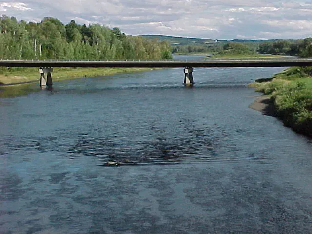
Munsungan Stream is the kind of paddle that only experienced wilderness trippers should consider. It runs through the North Maine Woods in remote, roadless country, and it is best known as the upper portion of a long canoe route that eventually forms the Aroostook River. The classic line begins at Chase Lake, works through Munsungan Lake, and then follows Munsungan Stream down toward the Aroostook headwaters, where Munsungan Stream and Millinocket Stream come together in a pool that marks the start of the river proper.
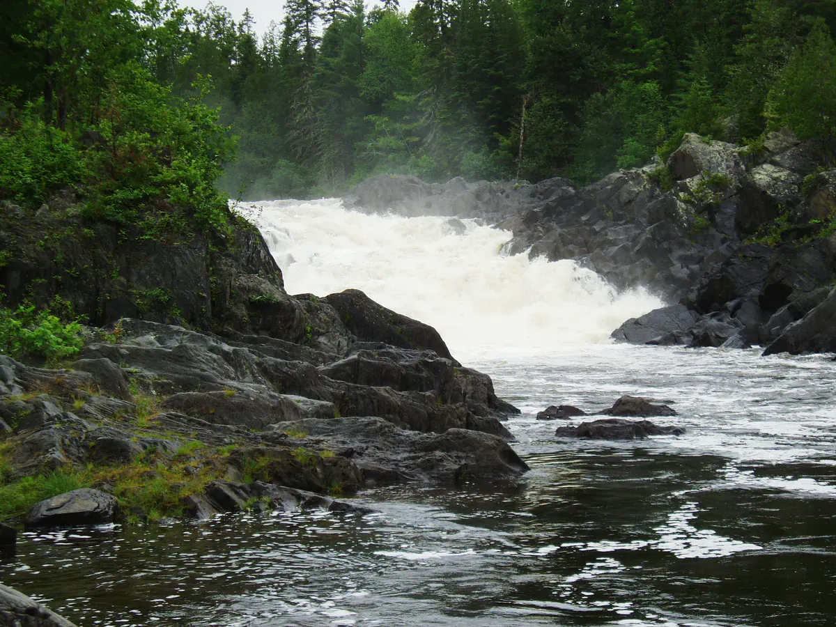
The water is a mix of flatwater and moving sections. Paddlers describe quickwater and Class I rips along the stream, plus a carry around Munsungan Falls that has to be portaged. None of that is extreme on its own, but the remoteness raises the stakes: this is a long way from help, the roads in are private logging roads through North Maine Woods, and there is no cell service. A trip here demands solid moving-water skills, careful attention to water levels, and a real plan.
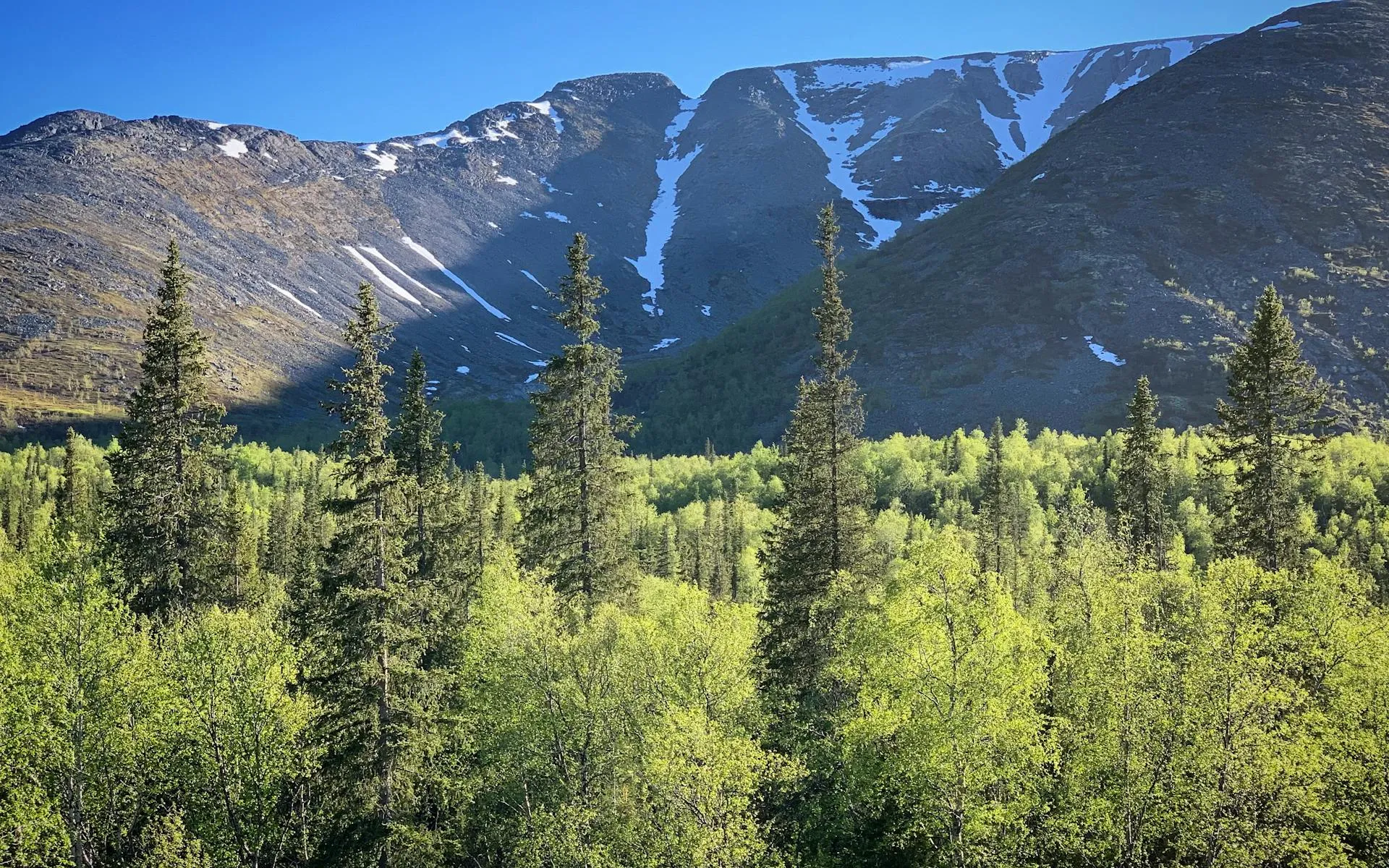
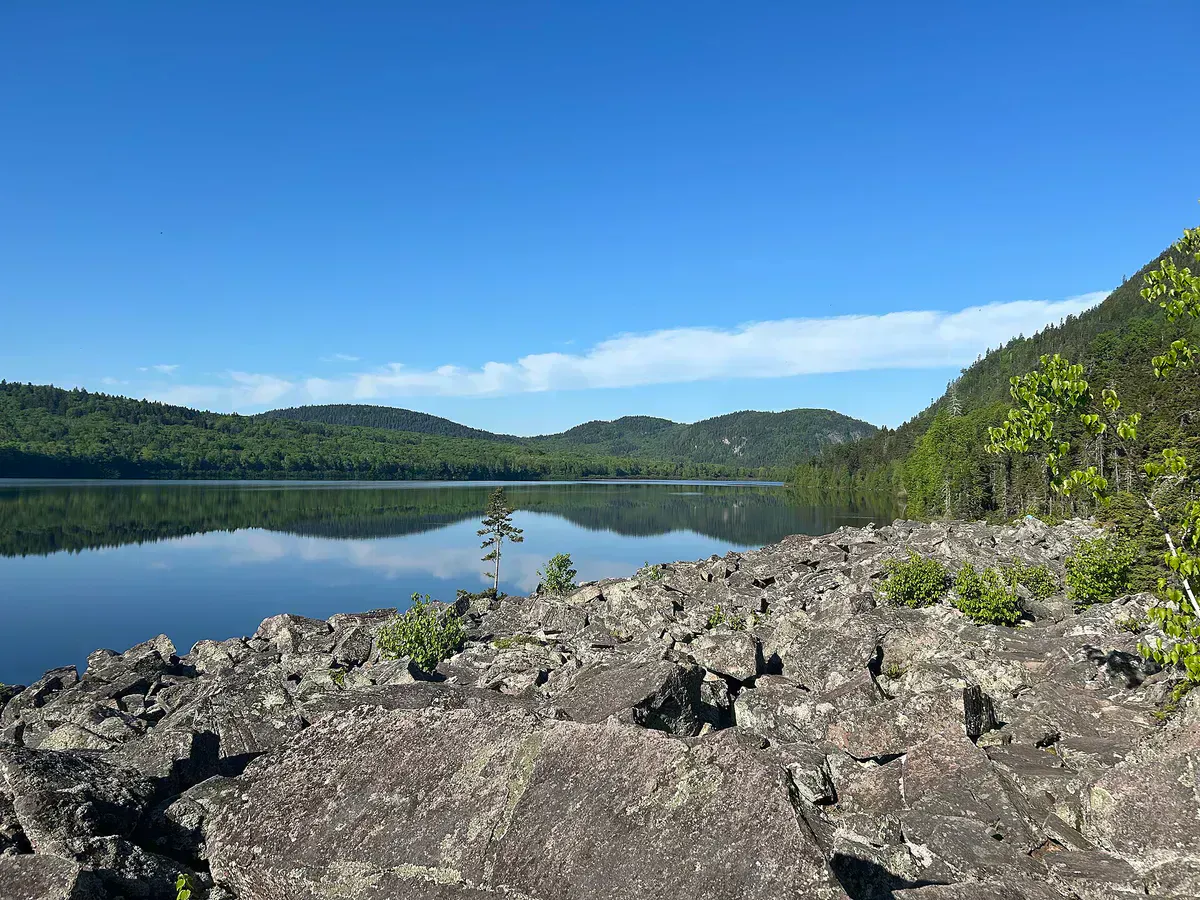
Munsungan Lake itself has a memorable shape. From the end where you typically launch, you cannot see the rest of the lake, and to reach the broad water you slip through a shallow cut only a dozen yards wide and a few inches deep, after which steep ridges and surrounding peaks open into view. It is wild, quiet country.
Packable gear protection
The Route
The traditional trip puts in at Chase Lake and connects through to Munsungan Lake, then descends Munsungan Stream. Expect long flatwater paddling on the lakes broken by quickwater and Class I rips on the stream, with a mandatory carry around Munsungan Falls. From the Munsungan and Millinocket confluence, the route continues onto the Aroostook River, and outfitters run trips ranging from a few days to well over a week down the larger river system.
Because water levels make or break the moving sections, this is not a trip to attempt in low summer flows without knowing what you will find. In dry conditions the stream can become too bony to paddle comfortably, and what reads as easy quickwater on a good day turns into dragging over gravel on a low one. Scout, ask local outfitters about current conditions, and be ready to adjust.
This is committing backcountry water far from any road or help, with quickwater, a waterfall carry, and no cell service. It is suitable only for experienced wilderness canoeists who can read moving water, navigate by map and compass, and self-rescue. Travel with a capable group, carry a satellite communicator, and confirm water levels and access before you commit.
Access Points
Access is over the private gravel road network managed by North Maine Woods, which charges a use fee at its checkpoints. The usual launch for the full route is Chase Lake, with the trip ending downstream on the Aroostook River at a take-out arranged as part of a shuttle. Primitive campsites in the area are part of the North Maine Woods system and require a camping fee.
Given the complexity, many people run this water with a Registered Maine Guide or outfitter who handles the logistics, the shuttle, and the gear. If you go on your own, plan the access, the checkpoints, and the take-out in detail before leaving pavement.
Getting There
The Munsungan country lies in the North Maine Woods west of Ashland, reached over long stretches of private logging road through gated checkpoints. There is no simple public highway to the put-in, and exact mileages depend on which gate and road you use, so coordinate your route with North Maine Woods or an outfitter ahead of time rather than relying on a phone.
Fuel up, carry a spare tire, and treat the drive itself as part of the expedition. Logging trucks have the right of way, and help is far away.
When to Visit
Spring
High water makes the moving sections more serious and the cold raises the risk. Roads can be soft and buggy. For very experienced paddlers only.
Summer
The most practical season, with warmer weather and more settled conditions. Watch for low water late in the summer that can leave the stream too bony to paddle.
Fall
Cool, quiet, and bug-free, but short daylight and cold water add risk on a committing trip. Confirm levels before going.
Winter
Frozen and inaccessible for paddling.
Summer is the only season most paddlers should consider, and even then water level is the deciding factor. High spring flows raise the danger, and late-summer low water can strand you on gravel. Always check current conditions with an outfitter before committing.
Packing List
Munsungan Stream Wilderness Trip
- Whitewater-capable canoe with full flotation
- PFD for each paddler and spare paddle
- Dry bags for all gear, food, and clothing
- Water filter or purification
- Map, compass, and GPS (no cell service)
- Satellite communicator for emergencies
- North Maine Woods fees and cash for checkpoints
- Full tent and overnight camping kit
- Spare tire and full fuel for the logging roads
FAQ
Where does Munsungan Stream go?
It runs through the North Maine Woods from the Munsungan lakes down toward the Aroostook River headwaters, joining Millinocket Stream at a pool that marks the start of the Aroostook River.
Is Munsungan Stream a beginner paddle?
No. It is a committing wilderness route with quickwater, Class I rips, and a carry around Munsungan Falls, far from any road or help. It suits only experienced wilderness canoeists.
How do you access the put-in?
Over private logging roads managed by North Maine Woods, which charge a use fee at gated checkpoints. The classic trip starts at Chase Lake. Coordinate the route, gates, and take-out in advance.
Do I need a guide?
Not required, but many paddlers run this water with a Registered Maine Guide or outfitter who handles access, shuttle, and gear. Solo trips demand strong skills and careful planning.
What about water levels?
Levels make the trip. High spring water increases the danger on the moving sections, and low late-summer water can leave the stream too shallow to paddle. Check current conditions before you go.