A Quiet Tributary of the Penobscot
The Passadumkeag River runs roughly 48 miles from its headwaters in the woods of eastern Penobscot County southwest to the village of Passadumkeag, where it empties into the Penobscot River. The town sits on the east bank of the Penobscot at the junction of the two rivers, on Route 2 about 45 minutes north of Bangor. The name comes from the Penobscot language and is usually translated as “at the land beyond the gravel bar,” and that gives you a sense of the place: low, sandy banks, slow current, and a river that has been a travel route for a very long time.
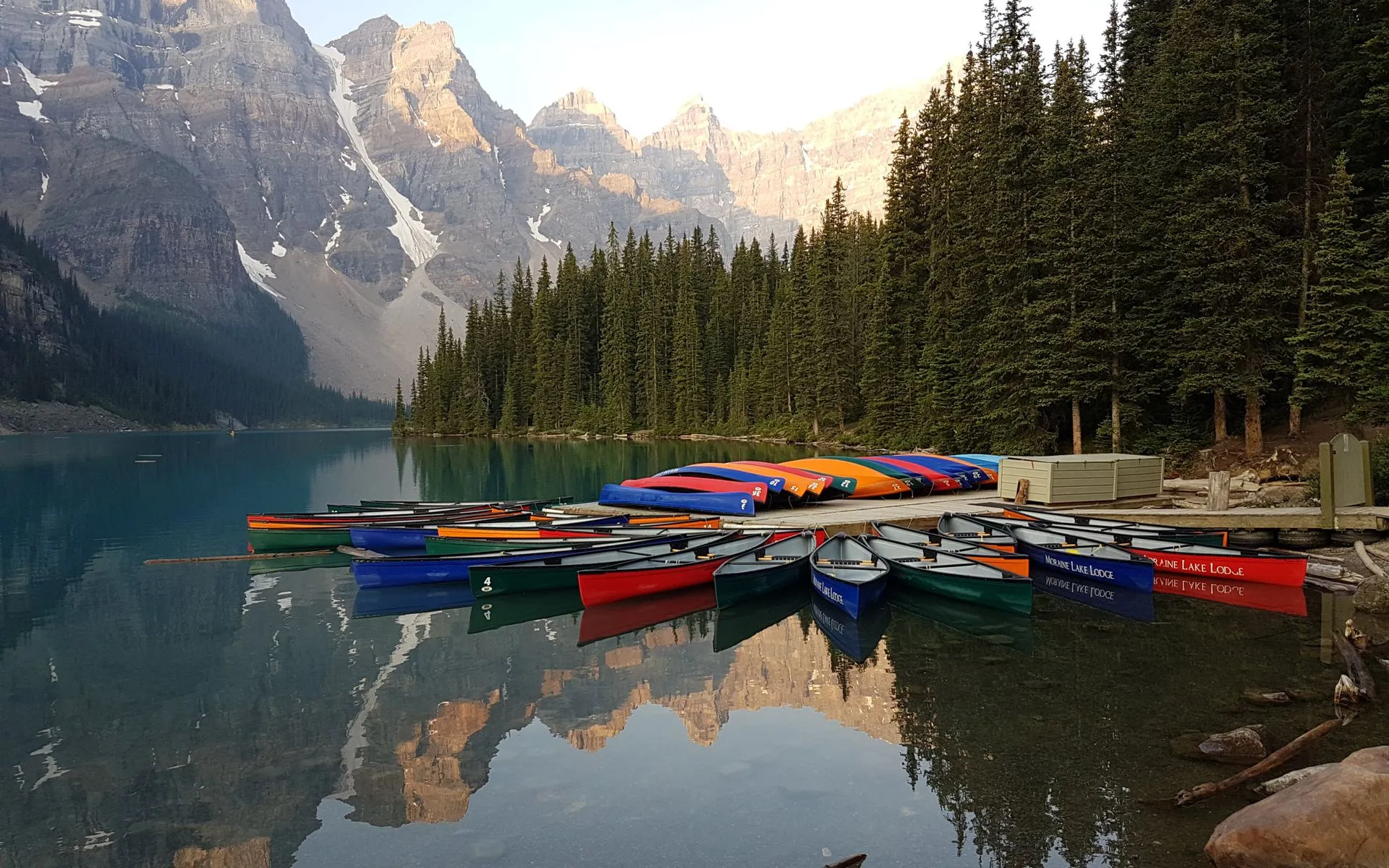
For paddlers, the appeal is simplicity. This is mostly flatwater and deadwater with a little swift current, the kind of river you can paddle up and back without a shuttle if you want to keep it easy. The most popular outing puts in at the public boat launch in Passadumkeag and runs about 10 miles downriver on the Penobscot to Greenbush, passing several wooded islands along the way. The mouth of the Passadumkeag itself is a known bass-fishing spot, so plenty of people launch here just to fish the confluence.
This stretch is part of the larger Penobscot River Paddling Trail, a route running from Medway down to Bucksport with riverside campsites spaced roughly every 10 miles. Treating the Passadumkeag launch as one access point on that bigger trail opens up multi-day options for anyone willing to plan a car shuttle.
Lake paddling
The Route
The standard day trip is the Passadumkeag-to-Greenbush run on the Penobscot, about 10 miles of mostly easy water. Below the launch the river is wide and slow, braided around islands, some of them natural and some left over from the log-driving days when boom islands were built to hold timber. Current picks up here and there, but there are no rapids on this section, which makes it a reasonable trip for a steady novice paddler with a full day to spend.
If you would rather stay on the Passadumkeag River itself, you can poke up into its mouth from the launch and explore the lower deadwater, then turn around and come back. There is no current to fight, so an out-and-back is genuinely relaxing rather than a slog. Above Lowell the river continues for many more miles, but the upper sections are remote, lightly traveled, and better suited to experienced trippers who have scouted the water levels first.
This is a fishing river as much as a paddling river. The confluence where the Passadumkeag meets the Penobscot holds smallmouth bass, and locals work the eddies and island edges. If you are paddling, give anglers room and watch for anchored boats around the river mouth.
Access Points
The main launch is the public boat landing in Passadumkeag, right where the river meets the Penobscot off Route 2. It is a simple ramp with limited parking, fine for canoes, kayaks, and small motorboats. There is also a private campground nearby at Mile 44 of the paddling trail that offers camping, a store, and resupply for through-paddlers, but check ahead for current hours and fees.
The Greenbush take-out is downriver and reached from Route 2 on the west side of the Penobscot, so a Passadumkeag-to-Greenbush trip needs two vehicles or a bike shuttle. If you are paddling the river out-and-back from the Passadumkeag launch, no shuttle is needed at all.
Getting There
From Bangor, take I-95 north to Route 2 at Howland, or follow Route 2 northeast along the river through Old Town and Greenbush to Passadumkeag. The drive from Bangor is about 45 minutes. From Portland, plan on roughly three and a quarter hours via I-95.
The launch is in the village itself, just off Route 2. Cell service is spotty once you are north of Old Town and on the water, so download or print your maps before you go.
When to Visit
Spring
High water makes for easy current and good fishing, but black flies are intense from mid-May into June. Dress for cold water.
Summer
Warm, settled conditions and long days. Lower water can expose gravel bars, so read the channel around islands.
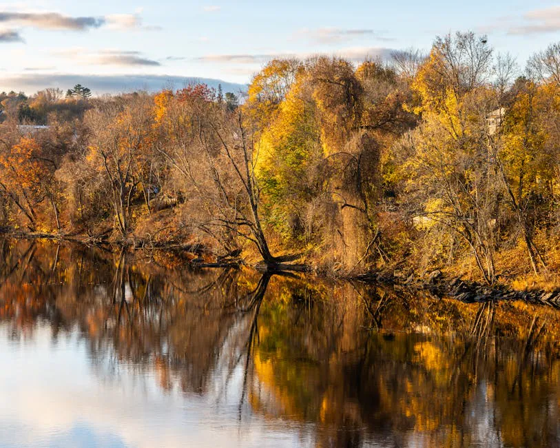
Fall
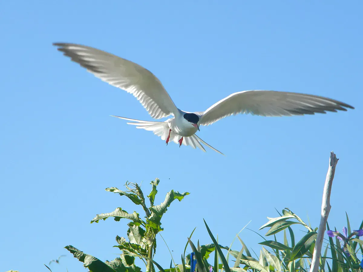
Cool, bug-free paddling with foliage along the banks. Watch for waterfowl. Dress in layers for chilly mornings.
Winter
The river ices over. Not a paddling season; access roads may be unplowed.
Summer is the easiest time to paddle here, with warm air and stable water. Spring brings stronger current and the best fishing but also the worst of the blackfly season. Fall is quiet and scenic once the bugs are gone.
Packing List
Passadumkeag River Paddle
- Canoe or kayak with a PFD for each paddler
- Maine fishing license if you plan to fish
- Dry bag for phone, keys, and lunch
- Bug spray (essential May through early July)
- Sunscreen and a hat
- Water and food
- Printed or downloaded river map (cell service is spotty)
- A second vehicle if running Passadumkeag to Greenbush
FAQ
Where do you put in to paddle the Passadumkeag River?
The public boat launch is in the village of Passadumkeag, off Route 2 where the river joins the Penobscot, about 45 minutes north of Bangor. Parking is limited.
How long is the Passadumkeag to Greenbush paddle?
The run from the Passadumkeag launch down the Penobscot to Greenbush is about 10 miles of mostly flatwater with some swift current and no rapids, a solid full-day trip for a steady novice.
Is the Passadumkeag River good for fishing?
Yes. The mouth of the Passadumkeag where it meets the Penobscot is a well-known smallmouth bass spot, and many people launch here specifically to fish the confluence.
Do I need a shuttle to paddle here?
Only if you want to do the one-way Passadumkeag-to-Greenbush run, which needs two vehicles. If you paddle out and back from the Passadumkeag launch, no shuttle is required.
Is there cell service on the river?
Service is spotty north of Old Town and unreliable on the water. Download or print your maps before launching.