A Quiet Ledge East of Bangor
Bald Bluff Mountain is a 1,011-foot ledge in the Amherst Mountains Community Forest, a public reserved land unit of nearly 5,000 acres in rural Hancock County, about an hour east of Bangor off Route 9. The forest is managed by the Maine Bureau of Parks and Lands, and Bald Bluff is its most popular short hike, a manageable loop that climbs to open ledge with two viewpoints looking out over the forested hills of Amherst and beyond toward the lower Penobscot River valley.
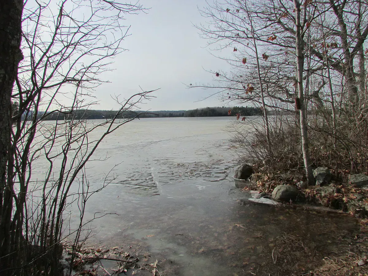
This is Downeast hiking at its quietest. There are no facilities and no cell service, just gravel roads, ponds, and woods. The trail is short enough to do in a little over an hour, which makes Bald Bluff a good first stop in a corner of the state where the bigger draws like Schoodic and Donnell Pond are still a drive away.
The Trail
The Bald Bluff Trail is a lollipop loop of about 2.1 miles round trip, with roughly 574 feet of elevation gain. Most hikers finish it in around an hour and fifteen minutes. The trailhead is marked by a small brown trail-head sign on a tree, just downhill from the parking area, and the route follows blue blazes from there.
The trail climbs through woods with some moderately steep grades and exposed ledge sections as it gains the ridge. It opens at two scenic viewpoints, the reason most people come, where the trees give way to ledge and the view spreads over the rolling forested country of Amherst, its ponds, and the Penobscot valley to the west. The loop returns you to the access trail and back down to the lot.
Treat clothing once, repels weeks
Getting There
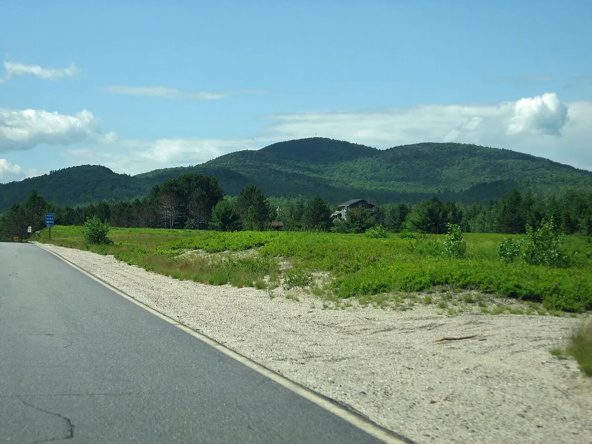
The Amherst Mountains Community Forest is reached from Route 9 east of Bangor. The turn-off onto the access road is a tricky hairpin off a busy highway, marked by a blue Amherst Public Lands sign, so slow down and watch for it. From there, the gravel Ducktail Pond Road runs roughly six miles in to the Bald Bluff parking area.
The access road is a logging road and can be rough, so a vehicle with decent clearance is helpful, and conditions vary with weather and logging. There is no cell service out here, so download a map and note the turns before you leave pavement.
The turn off Route 9 onto the access road is a sharp hairpin on a fast, busy highway. Use your signal early, slow well in advance, and watch your mirror, because traffic on Route 9 moves quickly and the turn comes up without much warning.
Bring bug spray and do not skimp on it. The black flies in the Amherst woods come out in full force in late spring and early summer, and the ledges do not have enough breeze to keep them off until you are right at the top.
When to Visit
Spring
The logging road can be rough and wet in mud season. Black flies are heavy from mid-May. Wait for the road to firm up.
Summer
Green and shaded, with open ledge views at the top. Bug spray is essential in the woods below the ledges.
Fall
Crisp air, fewer bugs, and foliage color across the Downeast hills. The clearest views from both lookouts.
Winter
Hikeable with traction, but the access road is not maintained and may be impassable. Plan for a longer approach on foot.
Fall is the standout, with bug-free ledges and color across the forest. Summer works well if you start early and come armed against black flies.
Packing List
Bald Bluff Mountain Day Hike
- Boots with grip for the ledge sections
- 1 to 2 liters of water
- Strong bug spray and a head net in spring and early summer
- A snack for the viewpoints
- A light layer for the open ledge
- Offline map and directions (no cell service)
- A vehicle with decent clearance for the logging road
FAQ
How long is the Bald Bluff Mountain hike?
About 2.1 miles round trip as a lollipop loop, with roughly 574 feet of elevation gain. Most hikers finish in around an hour and fifteen minutes.
Where is the trailhead?
In the Amherst Mountains Community Forest off Route 9 east of Bangor. The gravel Ducktail Pond Road runs about six miles in from a hairpin turn marked by a blue Amherst Public Lands sign.
Are dogs allowed?
Yes. Pets under control are allowed on the trail. Keep them close on the ledge sections.
Is there cell service?
No. There is no cell service in the forest or on the access road. Download a map and note the directions before you head in.
Do I need a high-clearance vehicle?
It helps. The access road is a logging road that can be rough and wet, especially in spring, so a vehicle with decent clearance makes the drive easier.
The trail sits inside the Amherst Mountains Community Forest, which also has pondside campsites. For more Downeast climbing, see Great Pond Mountain Wildlands.