Paddling Beneath the Bigelows
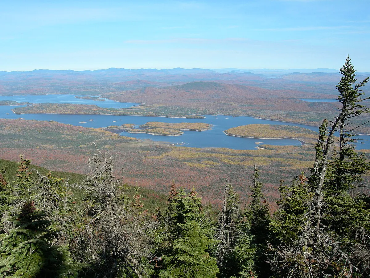
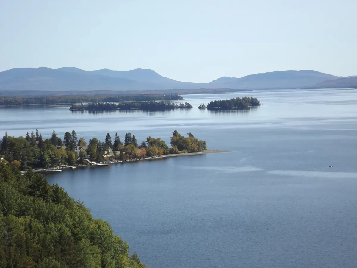
The Northern Forest Canoe Trail runs 740 miles from Old Forge, New York, to Fort Kent, Maine, the longest mapped water trail in the country. Maine holds the final and arguably most dramatic stretches, and the section near Stratton is the postcard: a long paddle across Flagstaff Lake with the jagged crest of the Bigelow Range filling the southern skyline. On a calm morning the peaks throw a perfect reflection across the water, and a loaded canoe glides through it toward the next portage.
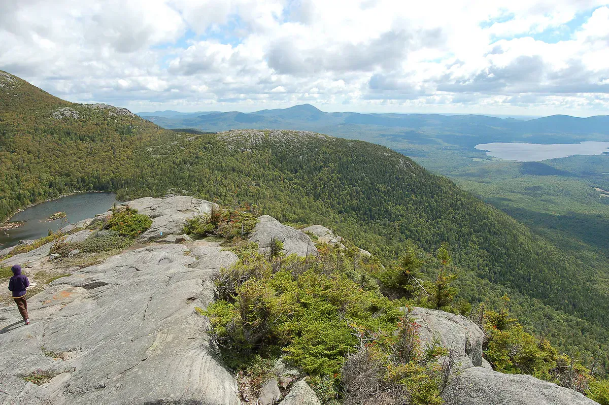
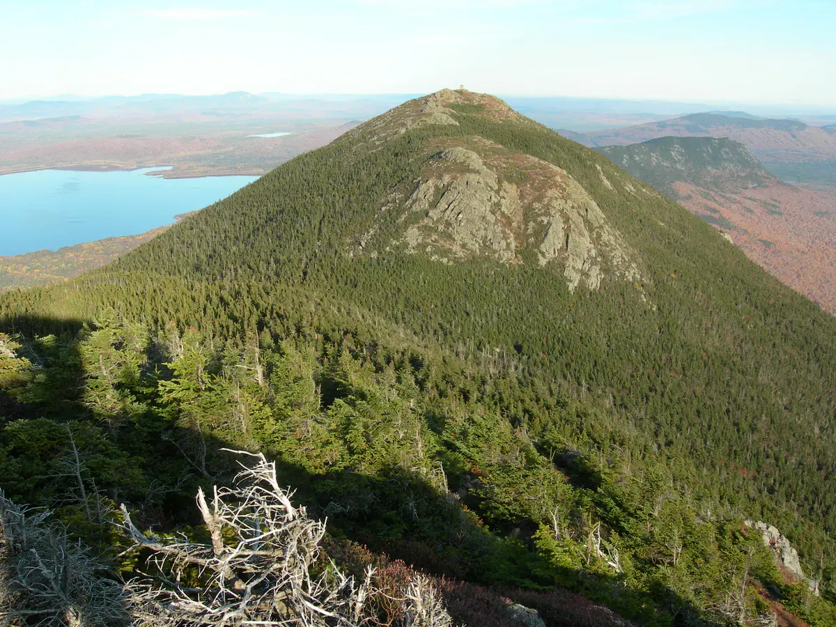
This Maine section of the trail, often paddled as Section 9, follows the Dead River drainage and crosses Flagstaff Lake before continuing toward the 30-foot drop at Grand Falls. The full section runs about 54 miles and is rated advanced, with open-water crossings, current, and portages around dams and falls. The Bigelow Preserve borders the lake to the south, 36,000 acres of protected ridgeline that keep the shoreline wild.
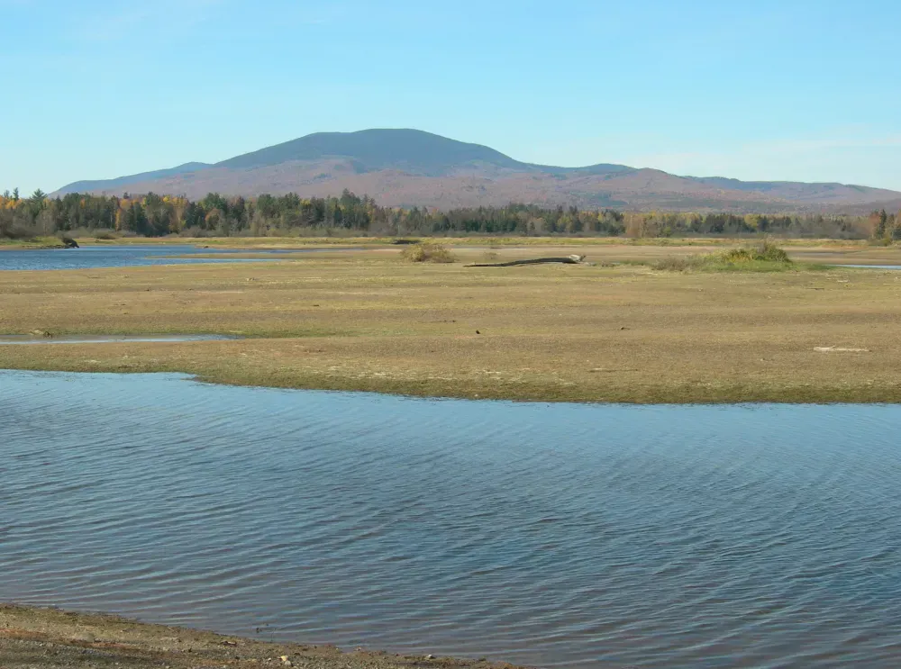
Flagstaff Lake itself is a reservoir created in 1950, when the Long Falls Dam flooded the old communities of Flagstaff and Dead River. It is a large, shallow lake that builds a serious chop in wind, so much of the strategy here is about timing your crossing.
The Route
The Stratton-area paddle centers on Flagstaff Lake, with public access on the lake near Stratton and Eustis (a state boat launch is about 45.2201, -70.1926). Thru-paddlers on the NFCT enter the section from the upper Dead River drainage, cross Flagstaff, and exit toward the Long Falls Dam and Grand Falls downstream.
The 54-mile Section 9 strings together river paddling, the long lake crossing, and several portages, including carries around dams and the mandatory portage at Grand Falls. Hurricane Island and other points on Flagstaff make good rest stops and camps. Most paddlers take several days for the full section, while day paddlers simply explore Flagstaff Lake itself out of Stratton or Eustis.
The Bigelow Range rises directly to the south the whole way across the lake, making this one of the most scenic flatwater crossings in Maine.
Flagstaff is a large, shallow reservoir that whips up steep, dangerous waves when the wind comes up, often by mid-morning. Stumps and shoals from the flooded valley lurk near the surface at lower water. Cross early, hug the shoreline when wind threatens, wear your PFD, and be ready to wait out a blow. This is exposed open water, not a sheltered pond.
Access Points and Put-ins
The most convenient day-paddle access is the state boat launch on Flagstaff Lake near Stratton off Route 27 (about 45.2201, -70.1926). The Long Falls Dam Road reaches the eastern end of the lake and the dam, where thru-paddlers portage and continue downstream toward Grand Falls. NFCT maps mark the official put-ins, portages, and campsites for the full section, and they are essential planning tools for anyone running more than the lake.
Lake paddling
Getting There
Stratton is on Route 27 in northern Franklin County, deep in Maine’s western mountains. From Portland, take Route 27 north through Farmington and Kingfield to Stratton, about two and three-quarter hours. From the Rangeley area, Route 16 east connects to Stratton. The Flagstaff Lake launch is north of Stratton village off Route 27.
To reach the eastern end of the lake and Long Falls Dam, follow Long Falls Dam Road from North New Portland. Fill up in Kingfield or Stratton, since services thin out quickly in this country.
Paddle the lake at dawn. Flagstaff is almost always calm at first light and almost always windy by noon, so plan your crossing for the early hours and let the afternoon wind blow while you are off the water. The Bigelow reflection is best in that morning calm anyway, before the chop breaks it up.
When to Visit
Spring
High water and cold temperatures. Black flies are brutal in late May and June. The big lake crossing is colder and riskier early.
Summer
Warm, settled weather and the most stable water. Prime season for the lake crossing and thru-paddling. Mornings are calm; afternoons get windy.
Fall
Spectacular foliage on the Bigelows and quiet water. Days shorten and water cools, so dress for it and plan camps early.
Winter
The lake freezes and access roads are not maintained for paddling. Not a season here.
Summer offers the most settled weather for the exposed lake crossing and the longest days for covering miles. Fall lights up the Bigelow Range in color and quiets the water, with the trade-off of colder temperatures and shorter daylight.
Packing List
NFCT Flagstaff Section Trip
- Canoe or sea-worthy kayak with extra paddle
- PFD worn at all times
- Dry bags for sleep gear, food, and clothes
- NFCT maps for the section
- Map, compass, and a way to signal for help
- Stove, fuel, and multi-day food for thru trips
- Bug spray and head net (late spring and early summer)
- Warm layers for cold mornings on the lake
- Water filter or treatment
FAQ
What is the Northern Forest Canoe Trail?
It is a 740-mile mapped water trail running from Old Forge, New York, to Fort Kent, Maine, the longest in the country. Maine holds the final sections, including the dramatic crossing of Flagstaff Lake beneath the Bigelow Range near Stratton.
How long is the Flagstaff section?
The Maine stretch often paddled as Section 9 runs about 54 miles, following the Dead River drainage, crossing Flagstaff Lake, and continuing toward the 30-foot Grand Falls. It is rated advanced and usually takes several days.
Can you just day-paddle Flagstaff Lake?
Yes. Many paddlers simply launch on Flagstaff Lake near Stratton or Eustis and explore the lake for the day, with the Bigelow Range as a backdrop, without running the full multi-day section.
Is Flagstaff Lake dangerous?
It can be. Flagstaff is a large, shallow reservoir that builds steep waves quickly in wind, often by mid-morning, and has submerged stumps and shoals. Cross early, stay near shore in wind, and be prepared to wait out a blow.
How do I get to the put-in?
The Flagstaff Lake state boat launch is north of Stratton off Route 27. To reach the eastern end and Long Falls Dam, follow Long Falls Dam Road from North New Portland. NFCT maps mark all official access points and portages.