Paddling the International Border
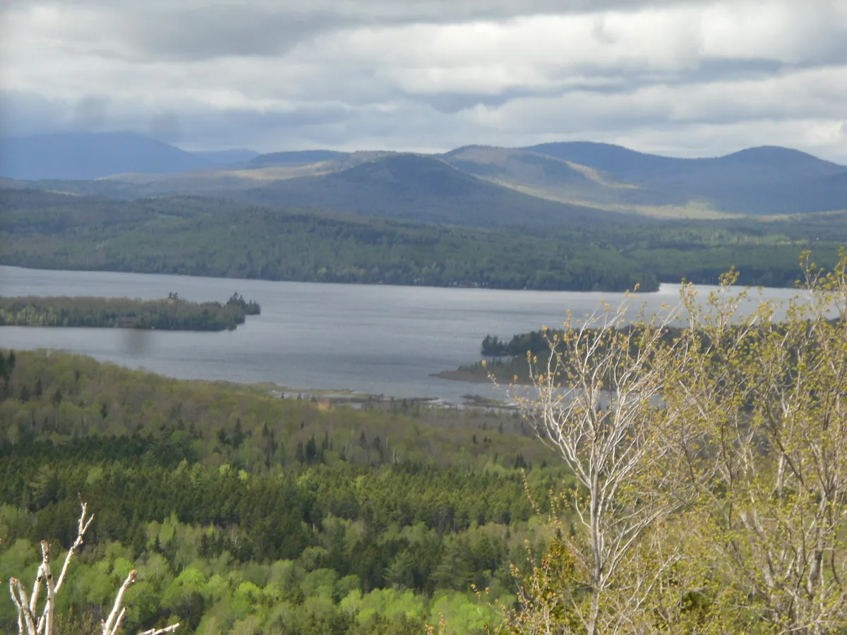
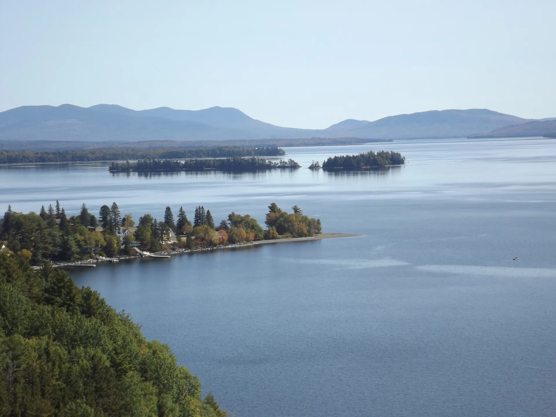
The St. Croix River forms the boundary between Maine and the Canadian province of New Brunswick for roughly 100 miles from Vanceboro to Calais, where it empties into Passamaquoddy Bay. This is one of the longest and most remote canoe trips in the eastern United States, a multi-day wilderness paddle through a landscape of dense boreal forest, granite ledges, and riverside campsites that you will likely have entirely to yourself.
The St. Croix is not a destination most paddlers think of, which is exactly its appeal. While the Saco River sees hundreds of boats on summer weekends, the St. Croix may go entire days without another paddler. The river flows through Downeast Maine, the most sparsely populated region of the state, and the Canadian side is equally wild. The town of Vanceboro, at the upstream end of the classic route, has a population of about 130. Between there and Calais, the river passes through miles of unbroken forest with no roads, no houses, and no services.
The paddling ranges from flatwater to Class I-II rapids, with several small dams that require portages. The difficulty is not in the whitewater but in the logistics: this is a multi-day, self-supported trip through genuine wilderness. You carry everything you need for three to five days on the water, so dependable paddling gear and dry bags matter.
The St. Croix River is the international boundary between the United States and Canada. You are legally on the border the entire time you are on the water. Do not land on the Canadian (east) bank without proper documentation. US Customs and Border Protection patrols the river. Carry valid identification and be prepared to identify yourself if approached.
The Route
The classic multi-day trip covers roughly 100 miles from Vanceboro to Calais over three to five days. Most paddlers break it into comfortable daily segments of 20 to 30 miles.
Vanceboro to Loon Bay is the upper section, roughly 25 miles of mixed flatwater and mild riffles. The river is narrow here, 50 to 80 feet wide, winding through thick spruce-fir forest. Moose sightings are common, especially at dawn and dusk.
Loon Bay to Grand Falls Flowage transitions through wider, lake-like sections created by downstream dams. The paddling is easy but exposed to wind on the broader water. Grand Falls is a small dam that requires a portage on the Maine side.
Grand Falls to Woodland passes through more remote forest with a few Class I-II rapids that add interest. The river widens gradually as tributaries join. Campsites are plentiful on the gravel bars and pine-shaded banks.
Woodland to Calais is the final stretch, about 15 miles. The river becomes tidal below Milltown Dam near Calais, and you must plan your take-out with the tide in mind. The town of Calais provides all services at the end of the trip.
You do not have to paddle the full 100 miles. Excellent two-day trips can be done on any 30-mile section. The stretch from Vanceboro to Loon Bay is the most scenic and wild. Road crossings at several points along the river allow you to customize trip length. Shuttle services are limited, so plan on using two cars.
Fishing
The St. Croix is an excellent smallmouth bass fishery from Vanceboro to Calais. The rocky substrate and clean water create ideal smallmouth habitat, and the fish grow large in this lightly pressured river. Two to three-pound bass are common, with occasional four-pounders, so it is well worth stowing fishing gear in the canoe.
The upper reaches also hold brook trout, particularly near cold tributary mouths. The fall Atlantic salmon run, though diminished from historical levels, still draws fish into the lower river and its tributaries. Check both Maine and international regulations, as the St. Croix has special management rules as a border water.
The stretch of river around Canoose Ledges, roughly 15 miles below Vanceboro, has some of the best smallmouth bass fishing on the entire river. The ledge pools hold big fish that see almost no angling pressure. Plan to camp nearby and fish the evening rise.
When to Go
Spring
High water from snowmelt. Fast current and cold water. Good for experienced paddlers. Class II rapids are stronger.
Summer
Warm weather, manageable current, excellent fishing. Water levels drop through August. Best paddling June through August.
Fall
Cool nights, warm days, bright foliage. Water can be low in dry years. Fewer bugs.
Winter
River freezes. Not a winter paddling destination.
June through September is the window. July and August offer the warmest weather and the most comfortable camping. June has higher water and stronger current, which experienced paddlers prefer. September brings cool nights, spectacular foliage, and total solitude.
Packing List
St. Croix River Multi-Day Paddle
- Canoe or touring kayak suitable for 3-5 days of gear
- PFD/life jacket
- Tent, sleeping bag, and sleeping pad
- Water filter or purification (no potable water on the river)
- 3-5 days of food in dry bags or bear canisters
- Camp stove and fuel
- Dry bags for all gear and clothing
- Valid photo ID (international border)
- Fishing rod and Maine fishing license
- Detailed river map (no cell service for navigation)
Getting There
Vanceboro is on Route 6, roughly 60 miles east of Lincoln and just across the international border from St. Croix, New Brunswick. From Bangor, take Route 9 (the Airline Road) east to Route 6, about 2.5 hours. From Portland, the drive is about 5.5 hours via Interstate 95 north to Lincoln, then Route 6 east.
Calais, the downstream take-out, is on Route 1 at the Canadian border. The drive between Vanceboro and Calais by road is about 50 miles and takes an hour.
Shuttle logistics require two vehicles or a pre-arranged shuttle. There are no commercial shuttle services on the St. Croix. Leave one car at the planned take-out in Calais and drive the second to Vanceboro.
GPS coordinates for Vanceboro put-in: 45.5640, -67.4330
FAQ
Do I need a passport to paddle the St. Croix?
You do not need a passport to paddle on the river itself, as it is the boundary. However, you must not land on the Canadian bank without proper documentation (passport or NEXUS card). Carry valid US photo ID at all times. Border patrol does monitor the river.
How many days does the full St. Croix trip take?
The full 100-mile trip from Vanceboro to Calais takes 3-5 days depending on pace and conditions. Most paddlers average 20-30 miles per day. Shorter 2-day sections are also excellent.
Are there campsites on the St. Croix?
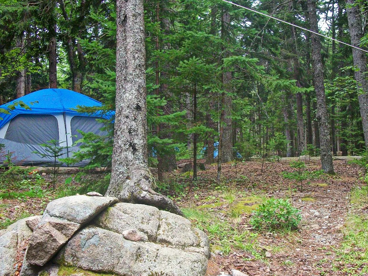
There are no developed campsites. Paddlers camp on gravel bars, sandy beaches, and pine-shaded banks along the river. Leave no trace practices are essential. Some land is private, so camp on obvious river bars when possible.
Is the St. Croix River difficult to paddle?
The whitewater is mild, Class I-II at most, and the current is manageable. The difficulty is logistical: this is a multi-day, self-supported wilderness trip with no services, no cell coverage, and no easy exit between put-in and take-out. Plan carefully.
What fish can I catch in the St. Croix?
Smallmouth bass are the primary sport fish and grow large in this lightly pressured river. Brook trout are found near cold tributary mouths. Atlantic salmon enter the lower river in fall. A Maine fishing license is required.