

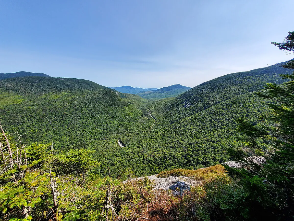
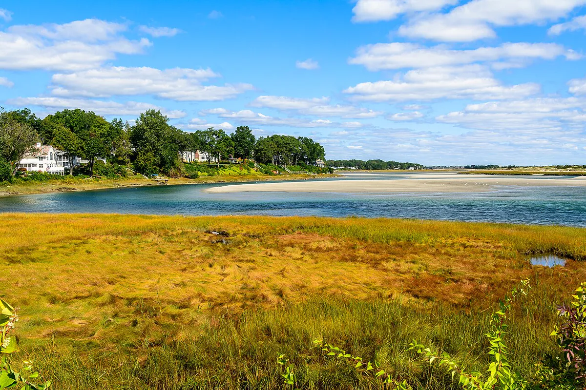
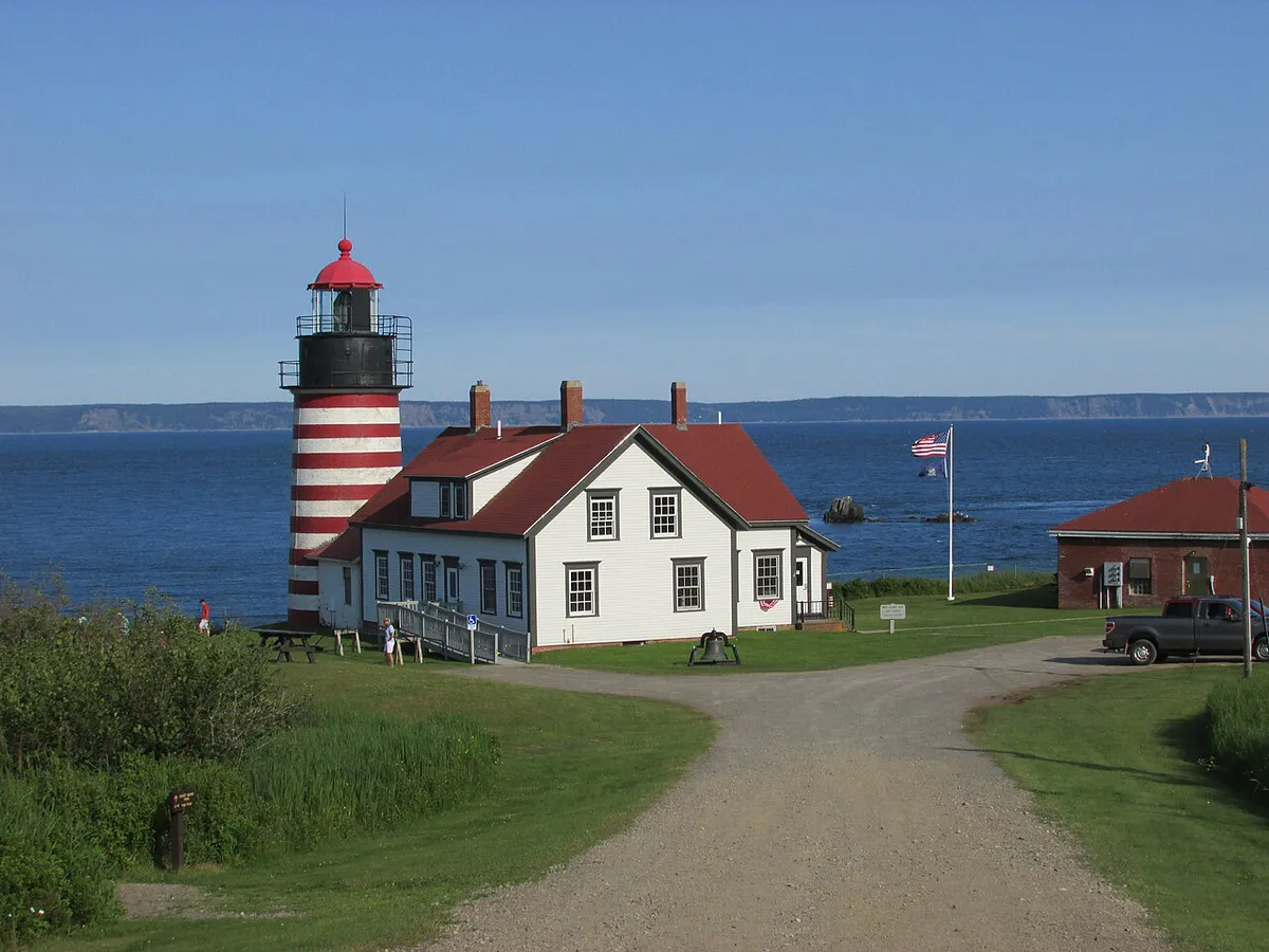
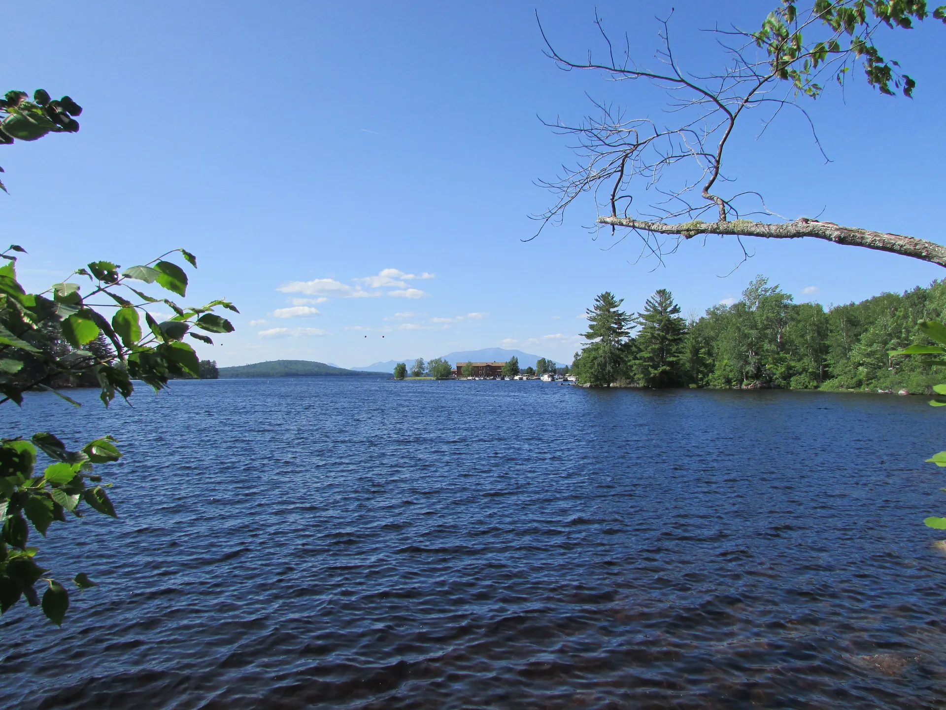
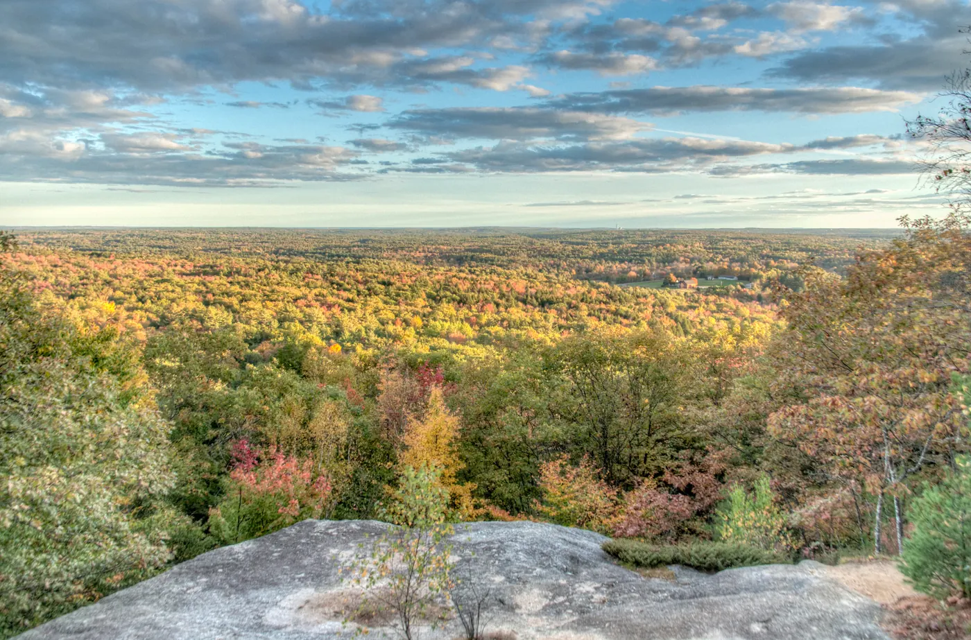
These 12 trails near Portland cover the full range from paved waterfront paths to proper mountain scrambles, and none of them require more than 60 minutes in the car.
Hikes near Portland
Bradbury Mountain
The best views for the effort, 30 minutes from Portland.
- Best urban walk
- Back Cove Trail, a flat 3.5-mile loop in Portland
- Best for kids
- Mackworth Island, a 1.5-mile loop with a fairy house village
- Best coastal
- Fort Williams Park and Portland Head Light
- Best challenging hike
- Pleasant Mountain Ledges Trail, 1,600 ft of climbing
Within an hour of Portland you can walk a flat loop on Casco Bay, scramble up granite ledges with views to the White Mountains, or climb to a fire tower that looks out over the Atlantic. You don’t need to drive to Acadia for great hiking. For the bigger summits up the coast and in the mountains, see our best hikes in Maine.
Shopping for a Maine hiker? See our gifts from Maine guide.
The map shows all 12 hikes, from Portland’s own Back Cove out to York in the south and the foothills around Bridgton and Brownfield in the west. Tap a pin for its photo and page.
Easy Hikes (Under 30 Minutes from Portland)
1. Back Cove Trail
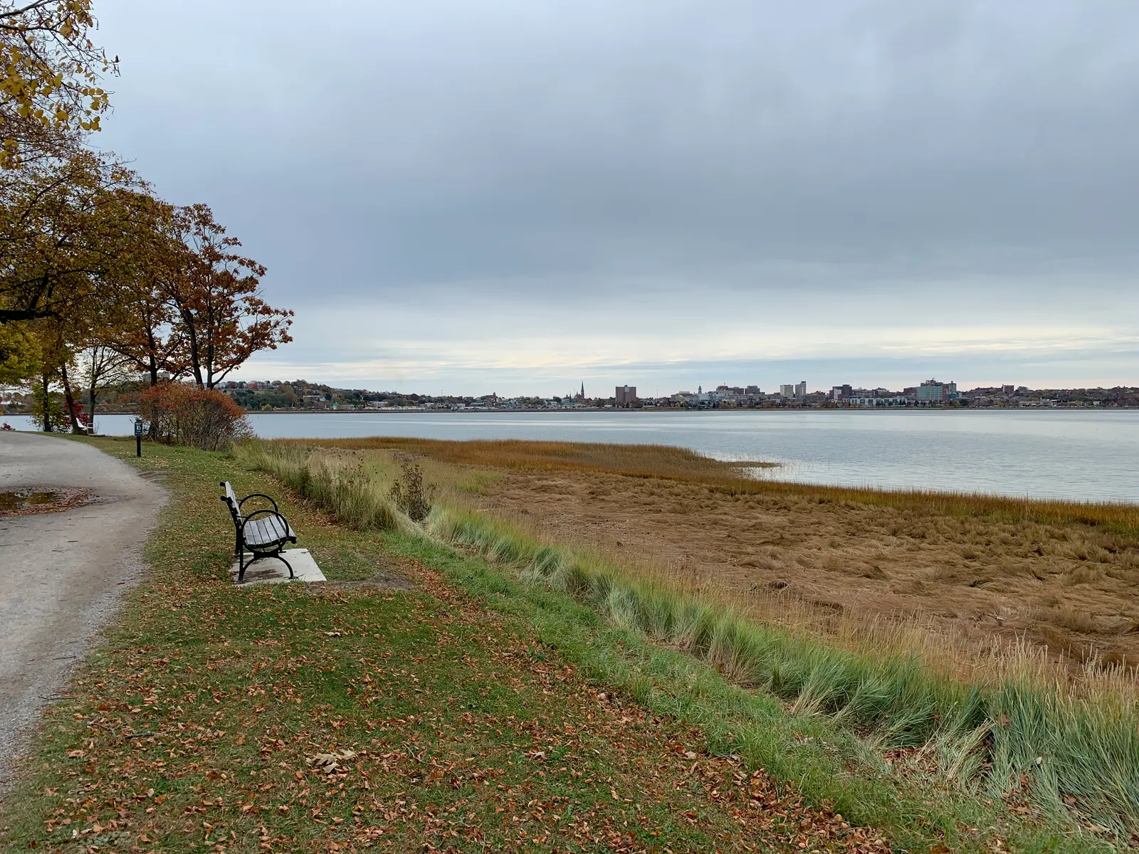
Back Cove Trail is Portland’s backyard loop. The paved path circles the cove, through Payson Park on the west side and along Baxter Boulevard on the east. Runners, dog walkers and parents with strollers share it year-round.
At low tide the cove drains to mudflats where shorebirds feed. At high tide the water reaches the path and reflects the Portland skyline. It is lit well enough for early mornings and evenings: not wilderness, but a pleasant 45-minute walk you can do before work.
- Distance
- 3.5-mile loop, flat and paved
- Drive
- None, it's in Portland
2. Mackworth Island
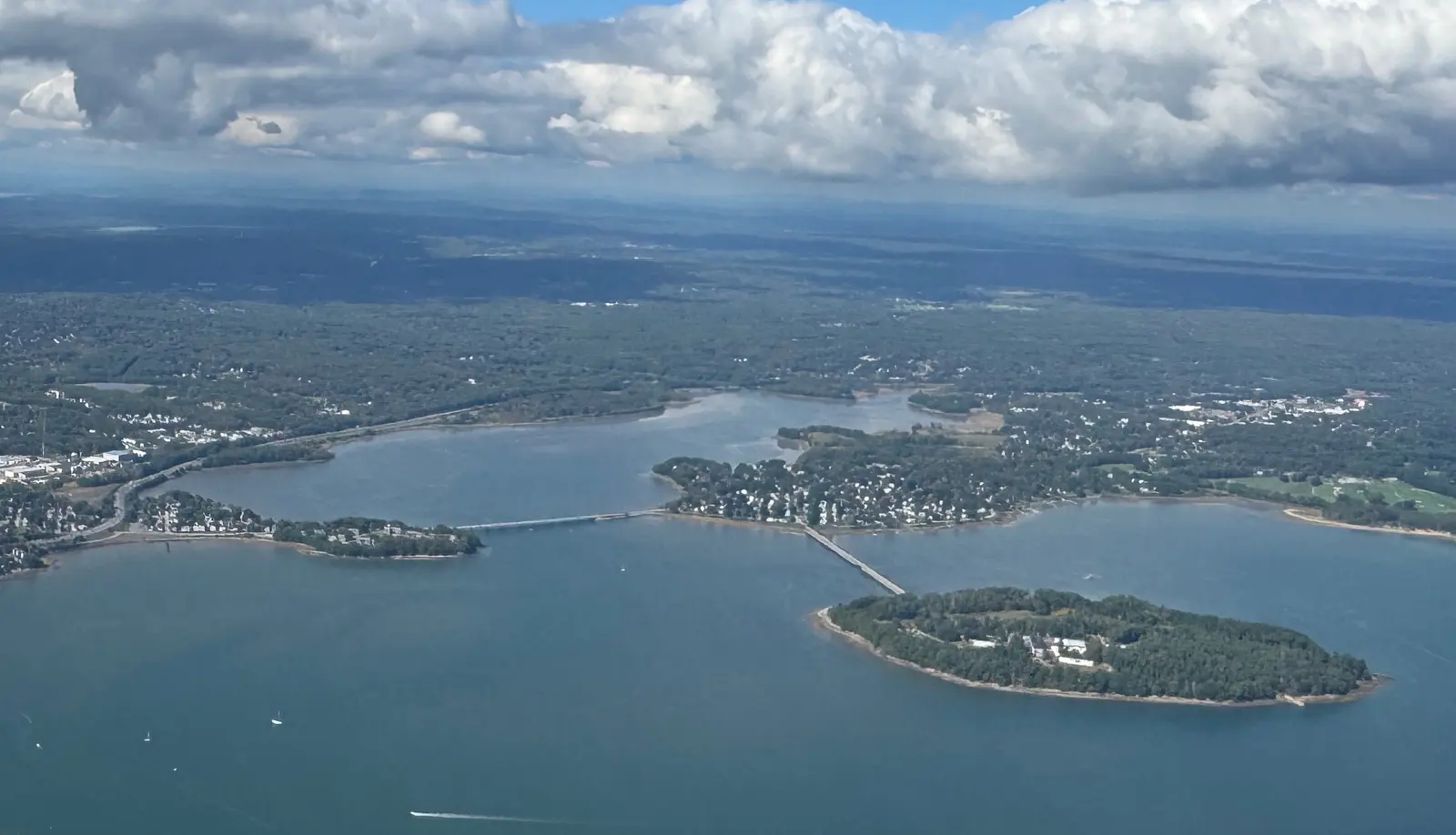
Mackworth Island is a state park joined to Falmouth by a short causeway, 10 minutes from Portland. The day-use fee was checked October 2026 on the state fee list. The flat perimeter trail circles the island through coastal forest, with views of Casco Bay, the Calendar Islands and Portland Head Light in the distance. A fairy house village near the start keeps kids busy longer than the hike itself.
The loop takes about 30 minutes at an easy pace, and dogs are welcome on leash. Locals treat it as a neighborhood walk, so the small lot fills by 9 AM on weekend mornings. Hiking with a dog farther out? See the dog-friendly hikes in Maine guide.
- Distance
- 1.5-mile loop, flat
- Fee
- $3 Maine residents, $4 non-residents
3. Scarborough Marsh / Eastern Trail
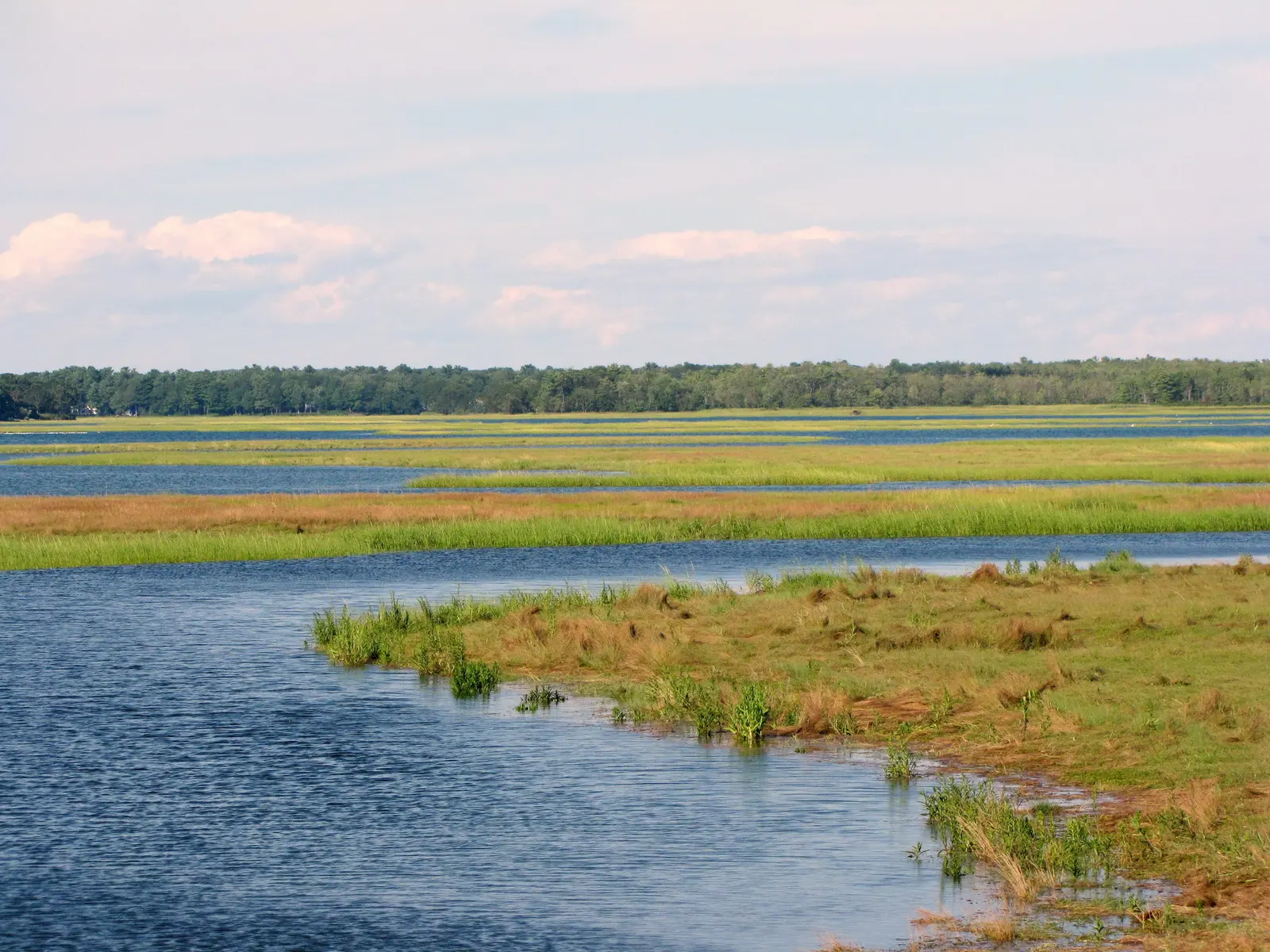
The Eastern Trail crosses Scarborough Marsh, Maine’s largest salt marsh at over 3,100 acres. The flat, smooth section works for bikes, strollers and wheelchairs. Great blue herons stand in the channels and osprey nest on platforms you can see from the trail. In fall the marsh grass turns gold, and the late-afternoon light is remarkable.
Walk as far as you want and turn around; the marsh stretch between Scarborough and South Portland is the most scenic. Bring binoculars. The birding is excellent year-round, especially in spring and fall migration.
- Distance
- As far as you like, 6+ miles
- Drive
- 15 minutes
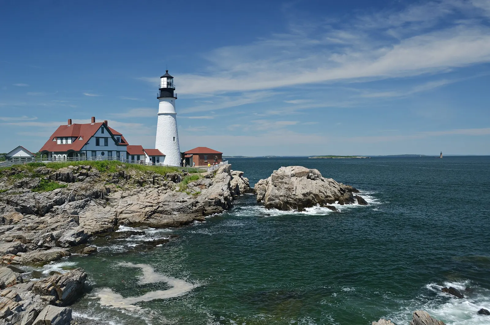
4. Fort Williams Park / Portland Head Light
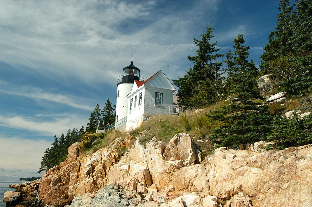
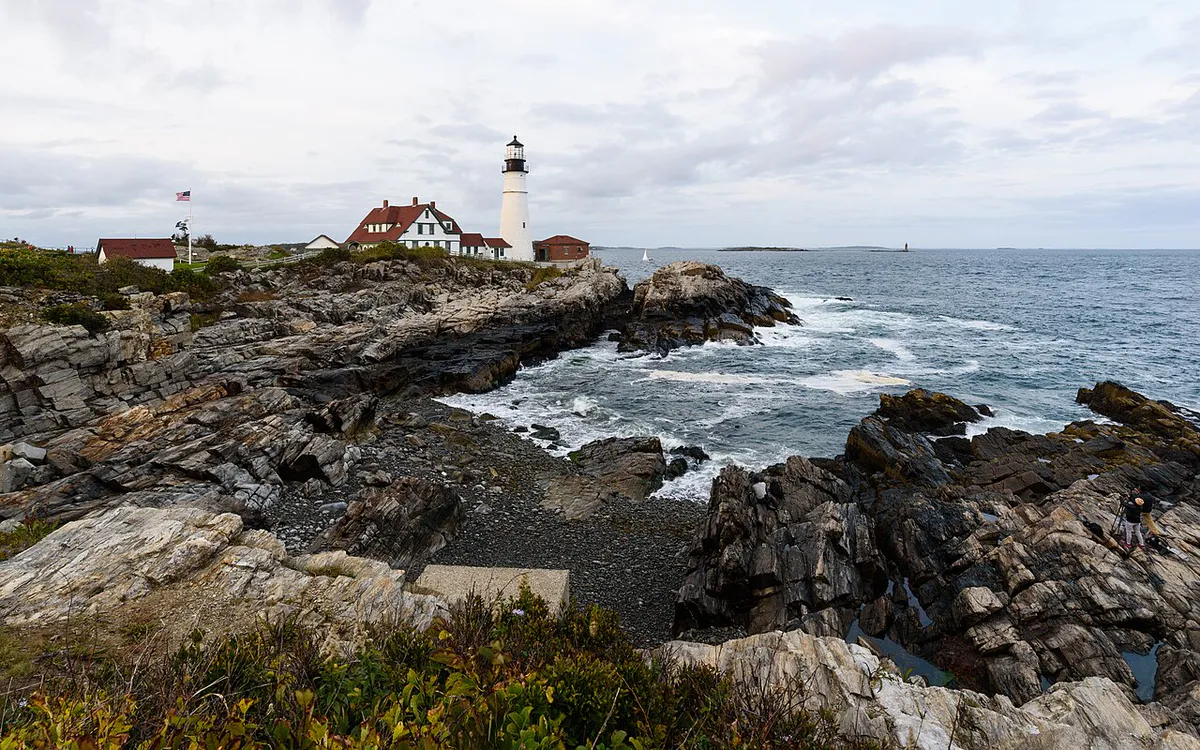
Portland Head Light is the most photographed lighthouse in Maine, and the park around it is one of the best free attractions in the state, 15 minutes from Portland. Paved and gravel paths follow the rocky shore with views of Casco Bay and Ram Island Ledge Light. Kids climb on the old gun batteries of Fort Williams.
The highlight is the cliff walk south of the lighthouse toward Ship Cove, where waves crash on the rocks below. Come at sunrise for the best light on the lighthouse, or at sunset when the cliffs glow. The lighthouse museum charges a small fee. Parking fills fast on summer weekends, so arrive before 10 AM or after 4 PM.
- Distance
- 2 miles of trails
- Hours
- Free, open year-round, dawn to dusk
Moderate Hikes (30-45 Minutes from Portland)
- Summit Trail
- 0.3 mile each way, short and steep
- Northern Loop
- 1.0 mile, a gradual climb
- Fee
- $4 Maine residents, $6 non-residents
- Drive
- 30 minutes
5. Bradbury Mountain
Bradbury Mountain in Pownal has one of the best effort-to-reward ratios near Portland. The white-blazed Summit Trail is a short, steep climb to open ledges, and the blue-blazed Northern Loop is a wider, gentler way up (Maine state parks trail list). From the top you see Casco Bay, the White Mountains on clear days, and forest in every direction.
The state park has longer loops too, including the Tote Road Trail, and mountain bike trails wind through the lower slopes. The day-use fee comes from the state fee list.
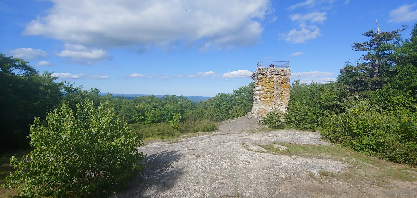
6. Douglas Mountain
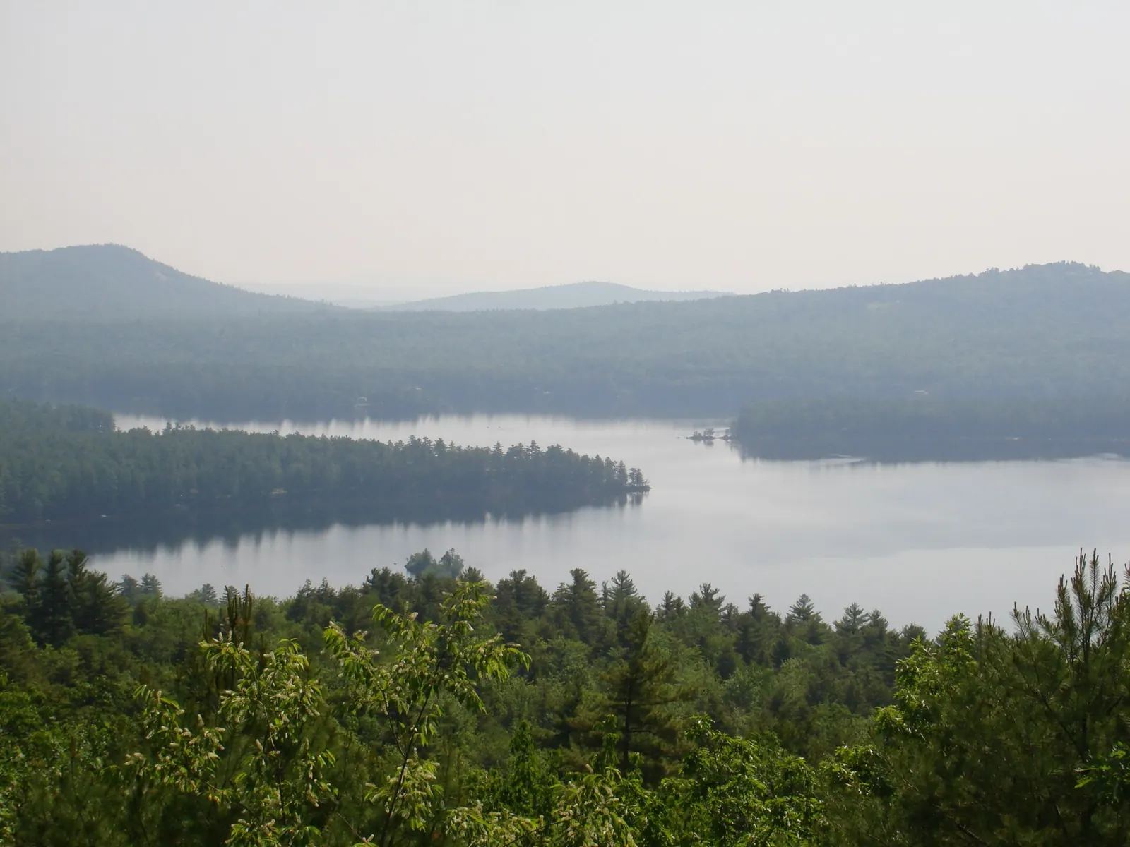
Douglas Mountain in Sebago is a hike locals keep to themselves, about 40 minutes from Portland. A short, steep climb leads to a stone observation tower built in 1925. From the top, Sebago Lake spreads out below and the Presidential Range fills the northern horizon on clear days. Climb the tower for the full panorama.
The Nature Conservancy gave the preserve to the Town of Sebago, which manages its 2.8 miles of well-marked trails. Pets are not allowed, and if the lot is full the town asks you to pick another trail (Maine Trail Finder). The hike takes under an hour, so it pairs well with a swim at Sebago Lake.
- Distance
- About 1 mile up the Eagle Scout Trail
- Fee
- $3 suggested donation per car
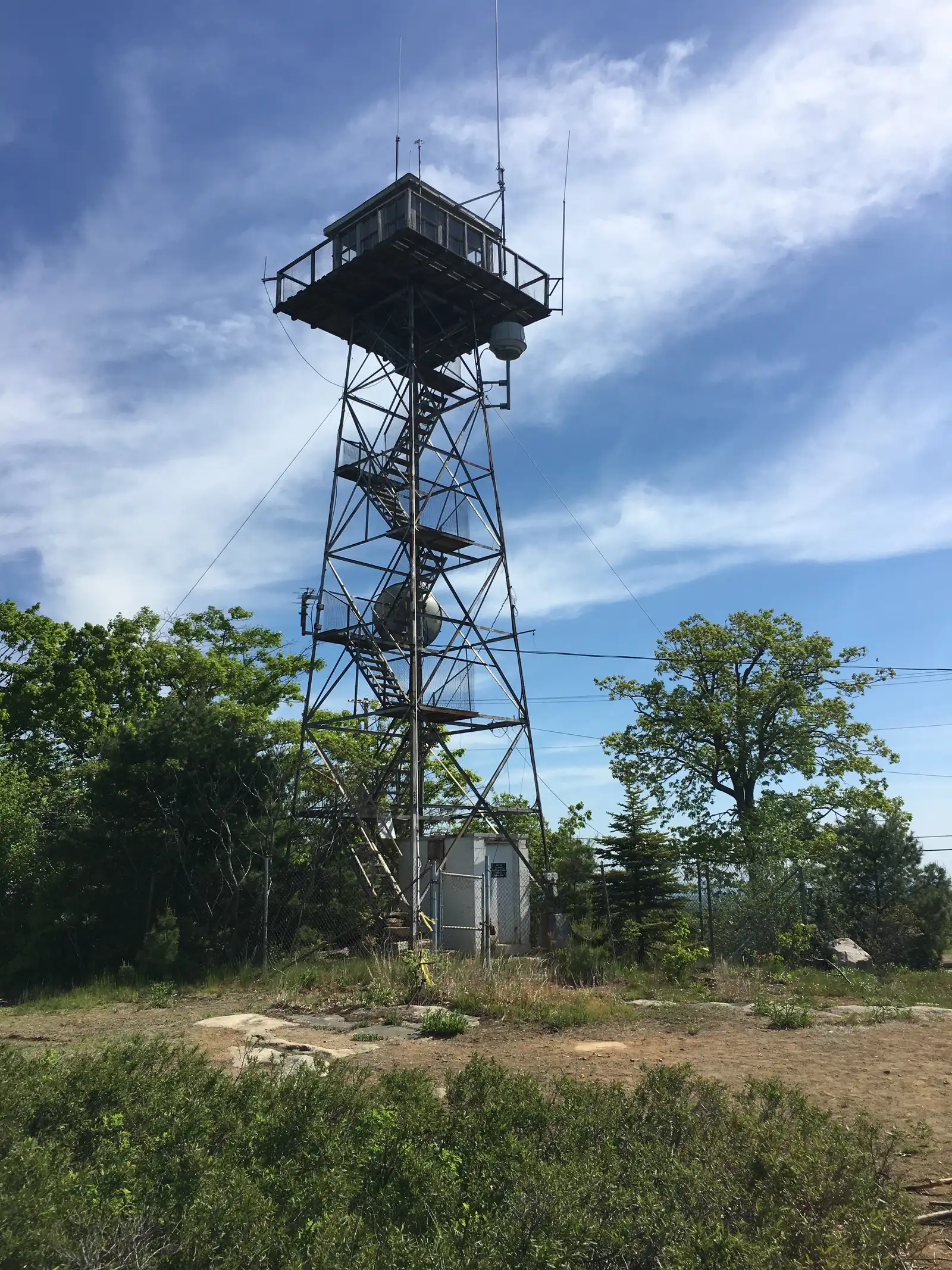
7. Mount Agamenticus
Mount Agamenticus in York, 45 minutes from Portland, is the highest point on the southern Maine coast at 692 feet, and the views are far better than the height suggests. On clear days you can see from the White Mountains to the Atlantic. A fire tower and learning lodge sit on top, and several trails meet at the summit, so you can choose how hard to work.
The Ring Trail is the most popular loop; the Sweet Fern and Witch Hazel trails are quieter. Mountain bikers use the lower trails. The summit road opens seasonally if you just want to drive up for the view.
- Loops
- 1 to 4 miles
- Summit
- 692 ft, with a fire tower
8. Scarborough Beach / Higgins Beach
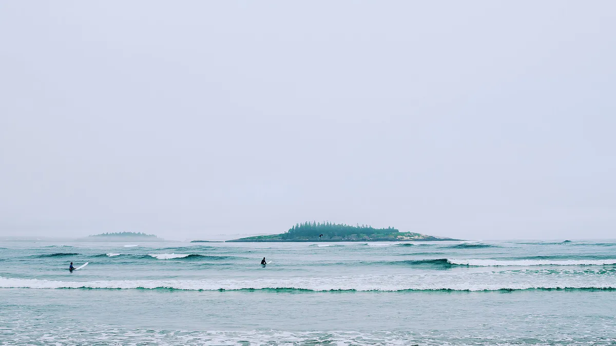
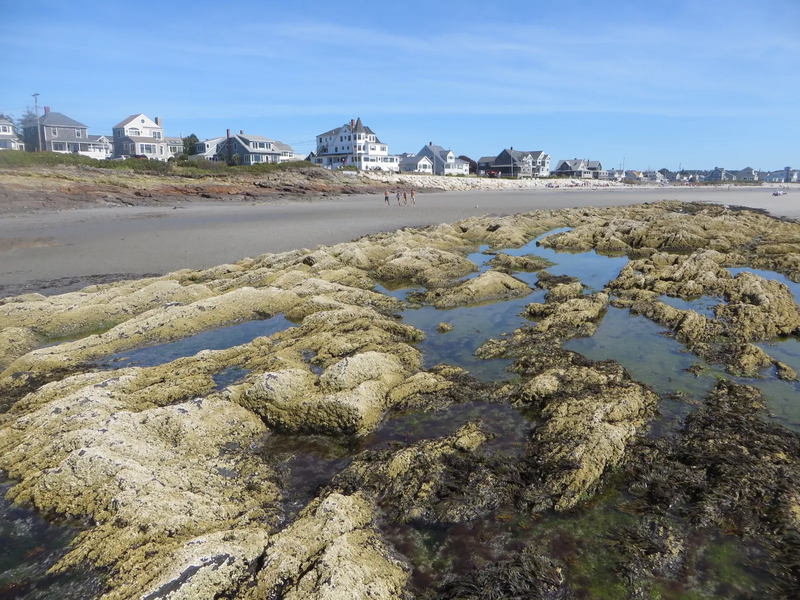
Higgins Beach and Scarborough Beach are Portland’s closest real beach walks. Higgins is a crescent of sand between rocky headlands, popular with surfers and beachcombers. At low tide you can walk its full length and explore the tide pools at the south end. Scarborough Beach State Park, a few minutes south, has a longer beach and better facilities.
They aren’t hikes in the usual sense, but two miles on hard-packed sand with waves breaking beside you is a great outing. Go in the shoulder seasons, when the beaches are quieter and the light is better.
- Distance
- About 2 miles of sand at low tide
- Drive
- 20 minutes
Challenging Hikes (45-60 Minutes from Portland)
9. Pleasant Mountain Ledges Trail
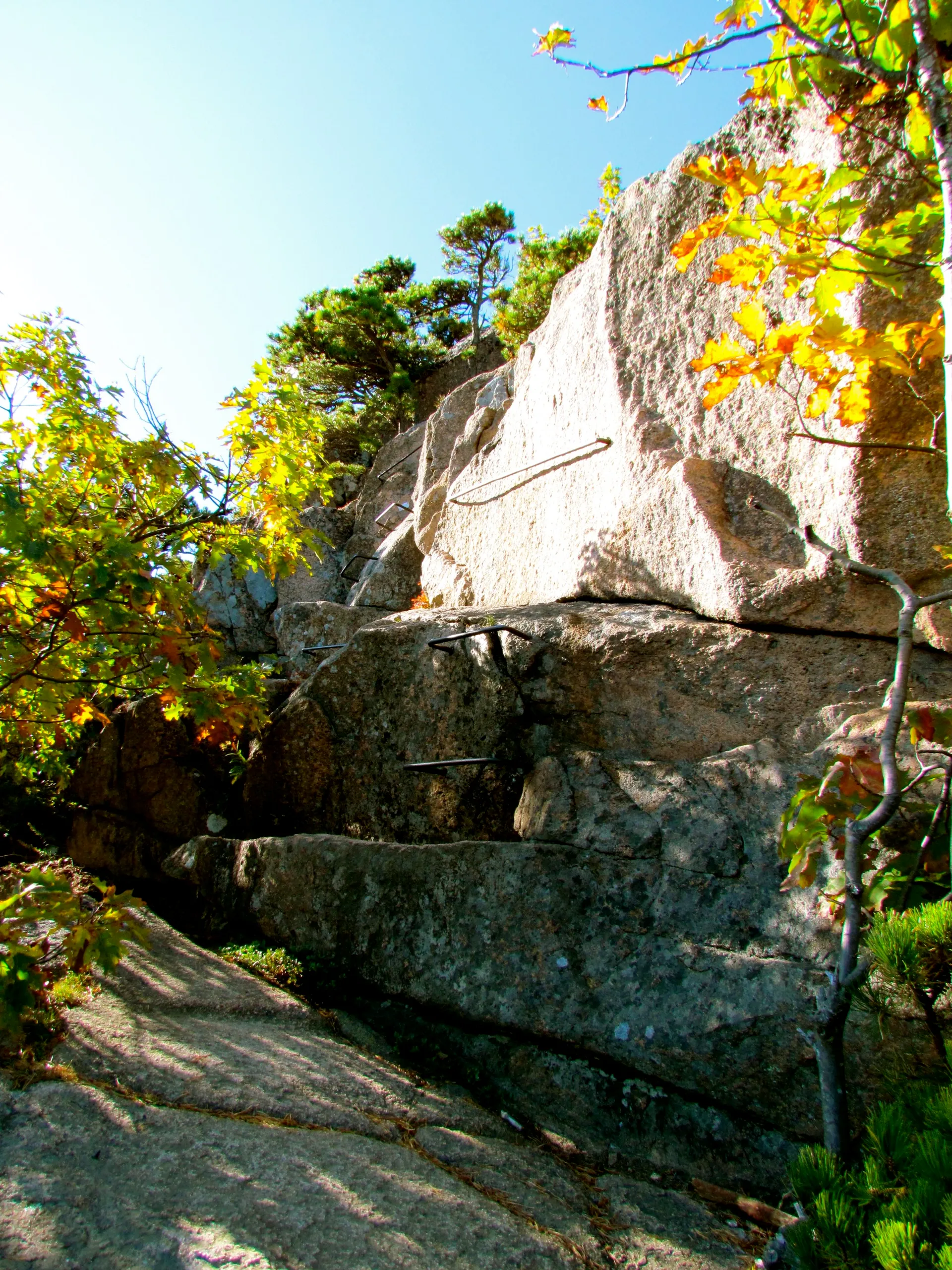
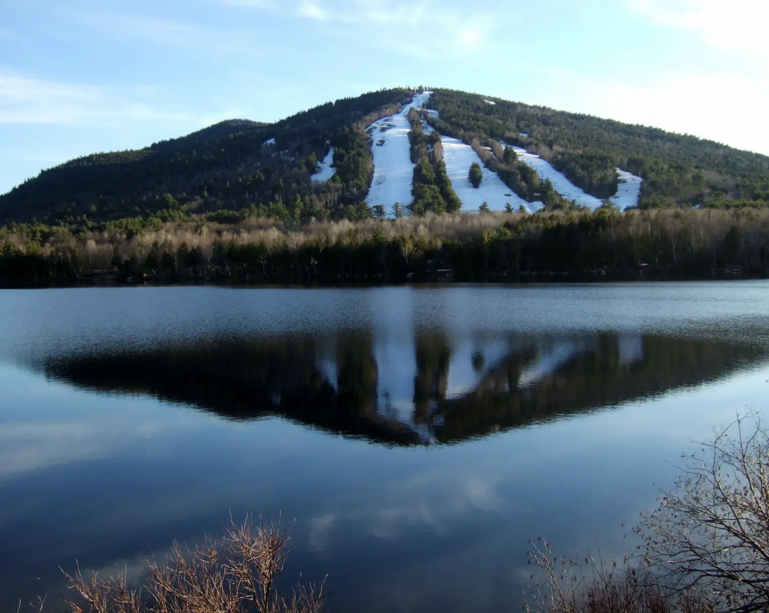
Pleasant Mountain in Bridgton, 55 minutes from Portland, is the highest peak in southern Maine at 2,006 feet, and the Ledges Trail is the reason to go. Loon Echo Land Trust lists it at 1.8 miles to the top with 1,600 feet of climbing. Open granite slabs alternate with forest, so the views keep growing, and the final push crosses wide-open ledges with 360-degree views of Sebago Lake, the White Mountains and the lakes region.
This is a real hike. The ledges are slippery when wet, and the upper sections are exposed to weather. Bring layers, and traction in any season but midsummer. The payoff is one of the best summit views within an hour of Portland.
- Distance
- 3.6 miles round trip
- Climb
- 1,600 ft
- Loop
- About 1.7 miles
- Climb
- About 310 ft, or 570 ft with South View Ledge
- Summit
- 1,232 ft
- Drive
- 50 minutes
10. Mount Cutler
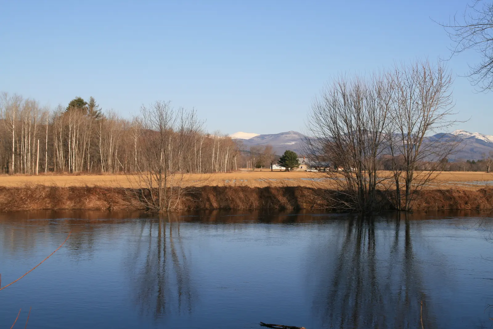
Mount Cutler in Hiram is a short, steep climb to open ledges over the Saco River valley. The trail climbs fast through mixed forest, then opens onto granite slabs with views west to the White Mountains and south along the winding Saco River. The summit feels exposed and alpine despite its modest height.
Maine by Foot measured its recommended loop from the Hiram Hill Road lot at about 1.7 miles, roughly an hour’s workout. The town-owned trail network has two small lots, on Hiram Hill Road and Mountain View Avenue, so arrive early on weekends.
- Distance
- 2.5 miles round trip
- Climb
- 1,100 ft
- Drive
- 55 minutes
- Best season
- Fall foliage
11. Burnt Meadow Mountain
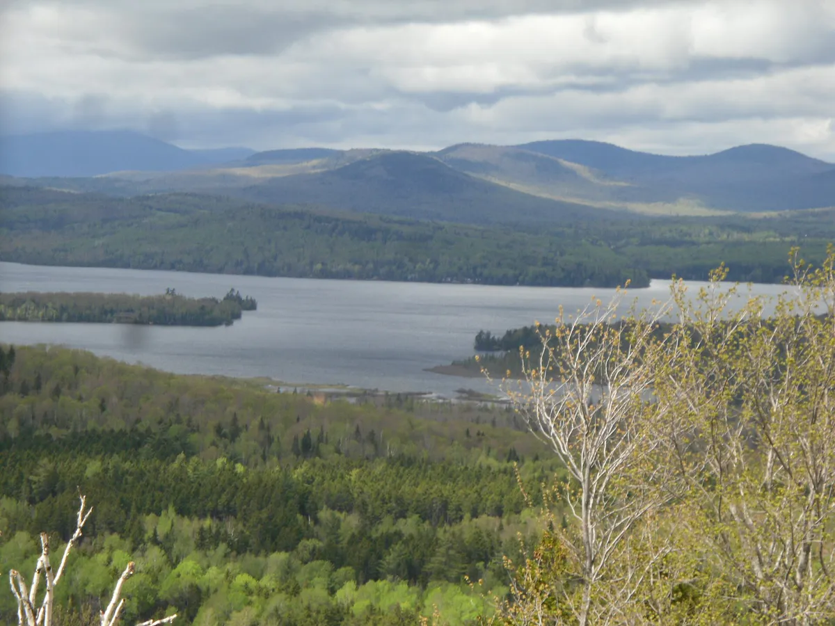
Burnt Meadow Mountain in Brownfield is an underrated gem. The trail climbs steadily through forest, then breaks out onto open ledges near the summit with views across the foothills to the Presidential Range. The south-facing ledges catch sun all day and make a great lunch spot.
The local land trust keeps the trail in good shape. Of the two summits, the north peak has the better views. In fall the hardwoods on the lower slopes turn red and orange, making this one of the best foliage hikes near Portland.
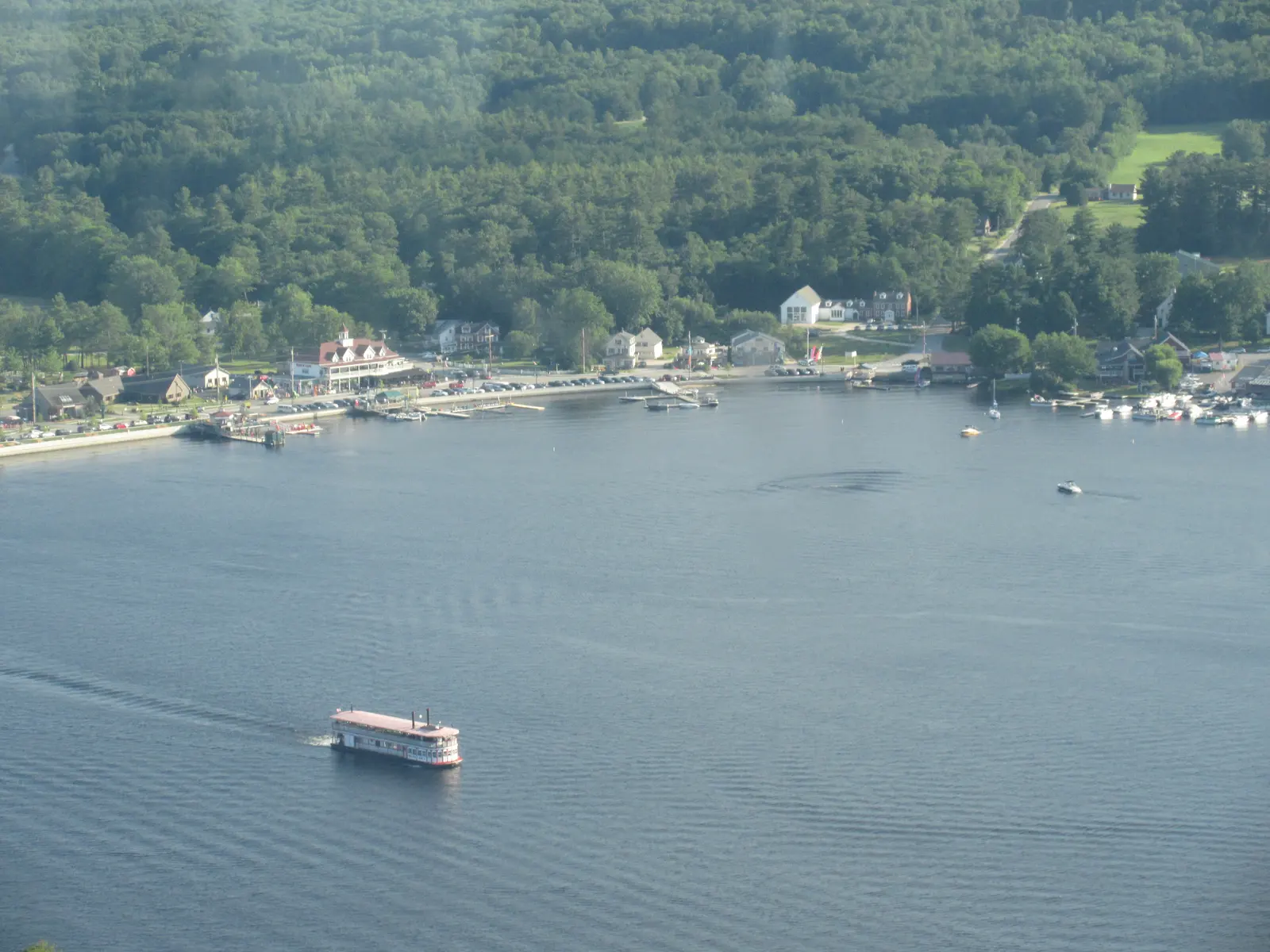
- Main route
- Bob Chase Trail, 0.8 mile to the summit
- Climb
- 300 ft
- Parking
- Route 107 lot, room for 20 cars
- Dogs
- Leashed at all times
12. Bald Pate Mountain
Bald Pate Mountain in South Bridgton, 45 minutes from Portland, is managed by Loon Echo Land Trust. Its most popular route, the blue-blazed Bob Chase Trail and Scenic Loop, climbs 0.8 mile to granite-topped viewpoints with about 300 feet of gain; the South Face Loop is a longer 1.5 miles (Loon Echo).
The summit ledges are wide and flat, good for a picnic. Blueberries grow wild on top in late July and August, and the land trust keeps the well-blazed trails in excellent shape.
Winter hiking near Portland
Ice on granite and ledge is the main winter hazard near Portland. Trails that look snowy can be glazed underneath, so carry microspikes from December into spring.
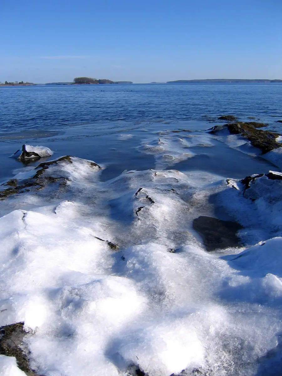
These places stay open all winter (checked October 2026):
- Bradbury Mountain: open all year, 9 a.m. to sunset. When the gate is closed off-season, park outside it without blocking it and walk in (Maine state parks).
- Mackworth Island: open all year, 9 a.m. to sunset. Its flat loop is the gentlest winter walk on this list (Maine state parks).
- Fort Williams Park: open year-round, sunrise to sunset (Portland Head Light). Stay well back from icy cliff edges.
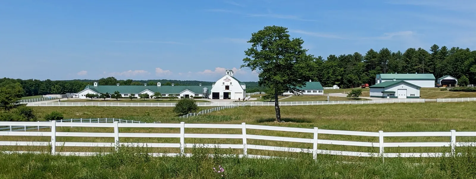
- Pineland Farms in New Gloucester isn’t on the list above, but it sells winter trail passes for skiing and snowshoeing. No dogs (Pineland Farms).
The open ledges on Pleasant Mountain, Burnt Meadow and Mount Cutler ice up in winter. Save them for a day with good traction and winter experience.
Portland Day Hike Essentials
What to Bring
- Water, at least 1 liter for short hikes, 2 for longer ones
- Trail shoes or hiking boots (Maine terrain is rooty and rocky)
- Tick repellent and bug spray (April through November)
- Layers, weather changes fast, especially on summits
- Snacks or lunch for hikes over 2 miles
- Map or downloaded trail app (AllTrails works offline)
- Sunscreen, even on overcast days
- Cash for state park day-use fees ($4-6)
Planning Tips
- Beat the parking rush Mackworth Island, Fort Williams and Bradbury Mountain lots are often full by 9 AM on Saturdays from June through October. Weekday mornings and late afternoons are quieter.
- Plan for blackflies Bugs are a fact of life from late April through October, and blackflies peak in late May and June.
- Check for ticks Ticks carry Lyme disease and live in tall grass and leaf litter. Wear treated clothing, use DEET or picaridin, and check after every hike. See our tick and bug protection guide.
- Wear the right shoes Sneakers work on paved paths like Back Cove and the Eastern Trail. For dirt, roots or ledges, real hiking boots save ankles and keep feet dry.
Where can I park for hikes near Portland?
Most trailheads have free parking, but lots are small. Mackworth Island, Fort Williams, and Back Cove all have dedicated parking areas. State parks charge a day-use fee per person, not per car: Mackworth Island is $3 for Maine resident adults and $4 for non-residents, and Bradbury Mountain is $4 and $6. Arrive before 9 AM on summer weekends to guarantee a spot at popular locations.
What is the best season for hiking near Portland?
September through mid-October is ideal, warm days, cool nights, fewer bugs, thinner crowds, and fall foliage starting mid-September. Late May through June is beautiful but buggy. Summer has the longest days but the most people and mosquitoes. Winter hiking is excellent on packed snow with microspikes.
Which hikes near Portland are dog-friendly?
Most trails on this list allow dogs on leash. Mackworth Island, Bradbury Mountain, Mount Agamenticus, Pleasant Mountain, and Bald Pate Mountain are all dog-friendly. Douglas Mountain does not allow pets. Back Cove Trail and Fort Williams Park also welcome leashed dogs. Check individual trail rules for seasonal restrictions.
Can I reach any trailheads near Portland by bus?
Back Cove Trail is walkable from downtown Portland. Metro bus routes serve some nearby areas, but most trailheads require a car. The Breez bus to South Portland gets you close to the Eastern Trail. For Mackworth Island and points north, you will need to drive or arrange a ride.