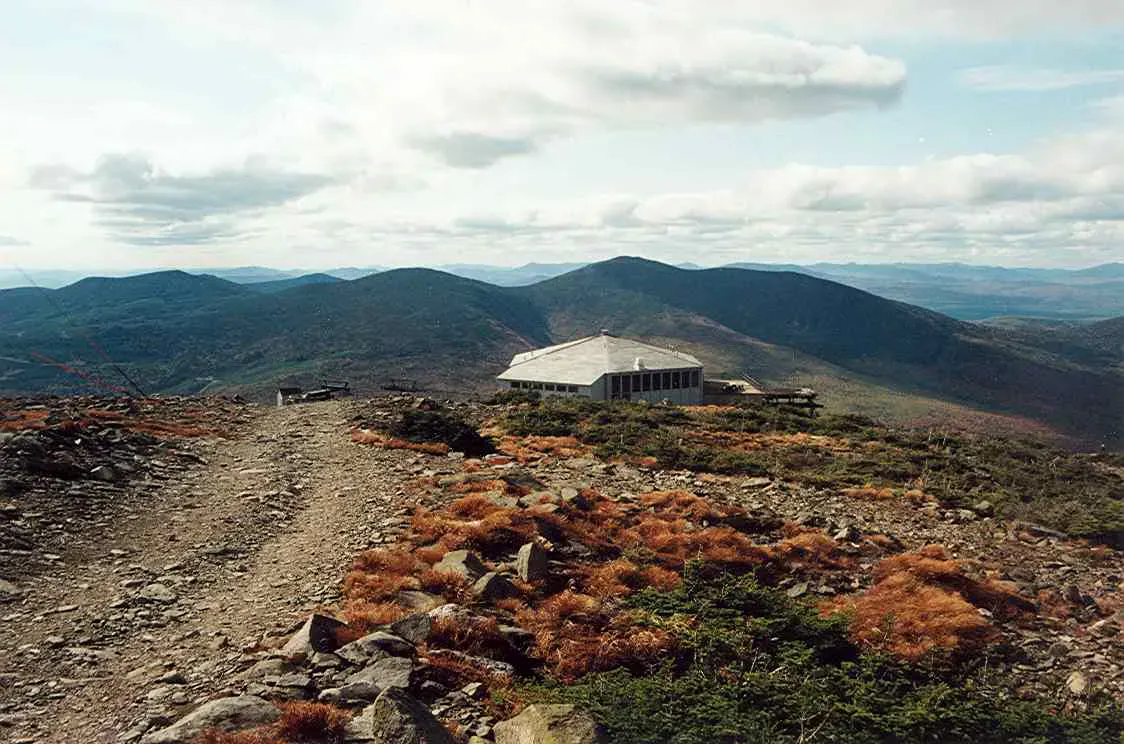
A Mountain Stream Below Sugarloaf
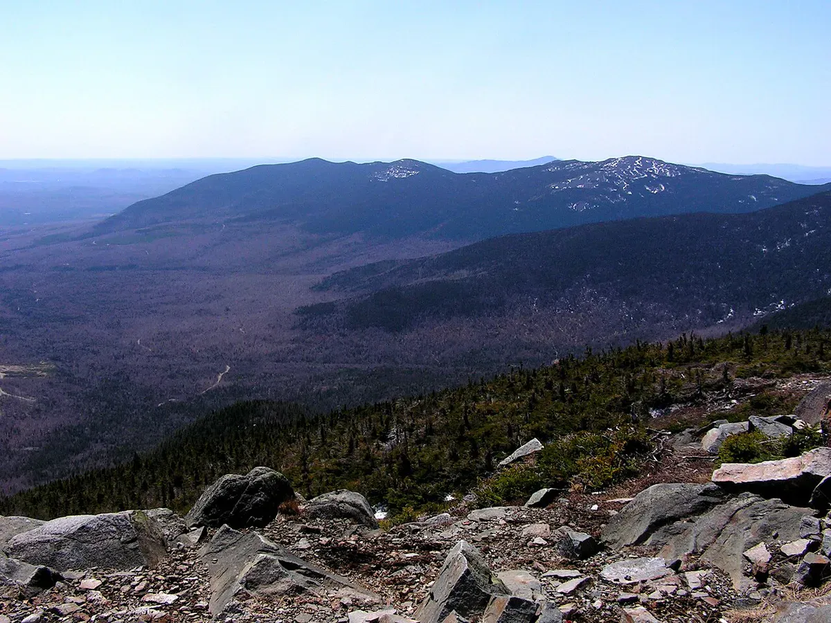
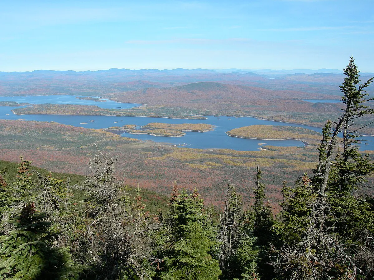
The Carrabassett River drops out of the mountains near Sugarloaf and runs through Carrabassett Valley, one of western Maine’s most scenic corridors. This is a true mountain stream, cold water, boulder-strewn rapids, and a gradient that creates lively paddling when water levels cooperate. The river is small enough that it feels intimate, running 30 to 60 feet wide through a valley framed by the Bigelow Range to the north and Sugarloaf to the east.
The Carrabassett is primarily a spring and early summer run. It depends on snowmelt from the surrounding mountains for navigable water levels, and by late July the river typically drops too low for comfortable paddling. When the water is up, the river offers continuous Class II with a few Class III drops that keep experienced paddlers engaged. When it is low, the Carrabassett transforms into one of the best brook trout streams in western Maine, fishable by wading anglers throughout the summer.
This dual personality, whitewater river in spring, trout stream in summer, makes the Carrabassett Valley worth visiting at different times of year for different reasons.
The Carrabassett River is fed by snowmelt and mountain springs. Water temperatures rarely exceed 60 degrees even in July, and in May the water can be in the 40s. Wear a wetsuit or drysuit for any spring paddling. Hypothermia is a real risk if you swim in cold water without insulation.
Paddling the River
The runnable section extends roughly 12 miles from the upper Carrabassett Valley near the Sugarloaf access road downstream through Kingfield. The upper stretch is steeper and more technical, with boulder gardens and tight turns that require quick reflexes. The lower section from the Route 27 bridge near the Sugarloaf intersection down to Kingfield is somewhat mellower, with longer pools between rapids.
The standard put-in for most paddlers is near the Route 27 bridge at the base of the Sugarloaf access road. From here, the river flows southeast through the valley, dropping through a series of Class II rapids formed by river-rounded boulders and ledge shelves. The channel reads well at moderate flows, with clear routes through the rock gardens, but the cold water and boulder drops demand proper whitewater kayaking gear.
The hardest rapid on the run is a steep boulder garden about three miles below the put-in, where the river drops through a constriction with a strong hydraulic on river left. At moderate flows this is a solid Class III. Scout from the road, which parallels the river for most of the run.
The take-out at Kingfield is at the public access near the Route 16/27 junction. The last mile before Kingfield eases into Class I-II, making a comfortable finish.
Route 27 runs along the river for nearly the entire paddling section. Before launching, drive the road and note the rapids you want to scout, any wood hazards, and the overall water level. This is one of the few rivers in Maine where you can see nearly every rapid from the road.
Brook Trout Fishing
The Carrabassett is a premier brook trout stream. The cold, well-oxygenated water supports healthy native populations, and the river’s rocky structure creates ideal holding water, deep pools below rapids, undercut banks, and pocket water behind boulders. Brook trout in the 6- to 10-inch range are common, with occasional fish to 14 inches in the deeper pools.
Fly fishing is the most effective technique, with dry flies producing well during summer hatches. Elk Hair Caddis, Adams, and small stimulators work throughout the season, so pack fishing gear suited to a small mountain stream. Nymphing with beadhead patterns is productive in the deeper pools and runs.
The river is open to fishing under standard Maine regulations. Some tributary streams may have special regulations; check the current rule book.
The best trout fishing on the Carrabassett is in the stretch between the Sugarloaf intersection and the Carrabassett Valley town office. This section has the coldest water, the most pocket water, and the least fishing pressure. Park at the town office and walk downstream along the bank. The pool below the first major riffle consistently holds the largest fish in this section.
When to Go
Spring
Peak whitewater from snowmelt. Cold water requires insulation. May-June for the best paddling.
Summer
Water drops but fishing improves. Wading and swimming in July. Too low for paddling by August.
Fall
Low water, excellent foliage. Brook trout spawn in October. Wading only.
Winter
Frozen. Sugarloaf skiing is the draw. River is inaccessible to paddlers.
May and June are the paddling months. The snowmelt from Sugarloaf and the Bigelow Range keeps the river at runnable levels through early summer. By mid-July, shift your focus to fishing. August and September are wading-only territory.
Practical Information
There are no paddling outfitters on the Carrabassett. The Sugarloaf area has outdoor shops that focus on skiing and mountain biking, but kayak rentals are not available locally. Bring your own whitewater boat and gear.
Kingfield and the Carrabassett Valley have restaurants, lodging, and basic services. The town is oriented toward Sugarloaf visitors, so accommodations are plentiful but can be pricey during ski season.
Packing List
Carrabassett River Paddle
- Whitewater kayak (creek boat recommended)
- PFD/life jacket
- Helmet
- Wetsuit or drysuit (water is cold year-round)
- Water shoes with ankle support
- Throw rope
- Dry bag for car keys
- Fishing rod and flies (for summer visits)
- Shuttle vehicle at Kingfield take-out
Getting There
The put-in near the Sugarloaf access road is on Route 27 in Carrabassett Valley. From Portland, take the Maine Turnpike to Auburn, then Route 4 north through Farmington and on to Route 27 north, about 2 hours 15 minutes. From Bangor, take Route 2 west through Skowhegan to Kingfield, about 2 hours 15 minutes.
The Kingfield take-out is at the public access near the Route 16/27 junction, about 12 miles downstream.
GPS coordinates for Route 27 put-in: 44.9720, -70.2180
FAQ
When can I paddle the Carrabassett?
May through early July, depending on snowpack and rainfall. The river is snow-fed and drops below paddling levels by late summer. Check water levels before driving out.
Is the Carrabassett River hard?
Class II with one Class III rapid at moderate flows. Experienced intermediate paddlers can handle it. The cold water and relatively remote setting add consequence to any swim.
Can I fish the Carrabassett from a kayak?
In spring, the water moves too fast for fishing from a boat. In summer, the river is too shallow to paddle but excellent for wading with a fly rod. The Carrabassett is really two different rivers depending on the season.
Is there swimming?
The deeper pools below rapids make good swimming holes in July and August, though the water is always cold, refreshing on a hot day, but do not expect bathtub temperatures.
How does this compare to the Dead River?
The Carrabassett is smaller, steeper, and more technical than the Dead River. The Dead has bigger volume and more consistent Class III-IV. The Carrabassett is a Class II-III creek run best for smaller boats.